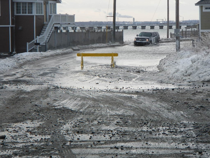
Hull, MA

Plymouth County

Impacts Reported


Roads

Street/Road: Unspecified

Specific Impacts:

  • Splashover
  • Impassable (flood water)
  • Impassable (overwash)
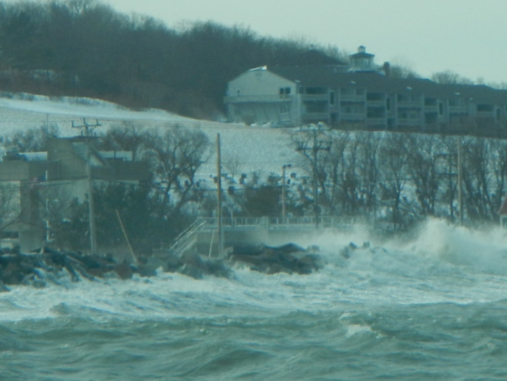
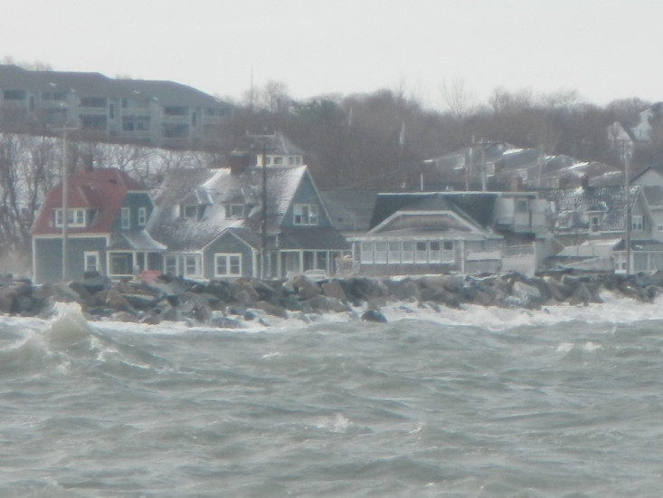
Marinas and Harbors
Buildings

Street: Nantasket Ave & Ext

Specific Impacts:

  • Water flow around or under buildings

Hazardous Materials
Beach

State: Inaccessible

Coastal Structures

Specific Impacts:

  • Undermined bulkheads/seawalls
  • Collapsed bulkheads/seawalls

Natural Resources
Current Response

Response:

  • Road clearing


01/03/2014 | 1:30 pm

Tidal Overview

1 hours 16 minutes after high tide

Data from BOSTON (9.1 miles away)

Water Level (at time of report): 1:30 pm, 12.1'

High Tide (Predicted): 12:13 pm, 12'

High Tide (Observed): 12:12 pm, 13.8'

Observed Predicted water level Report time

Weather Overview

Wind Speed: 12.8 MPH

Wind Direction: NW (322°)

Temperature: 14℉

Rainfall (Calendar Day): 0"

Rainfall (Past 24 Hours): 0.21"

(Click here for full weather details)


You must be logged in to post a comment.