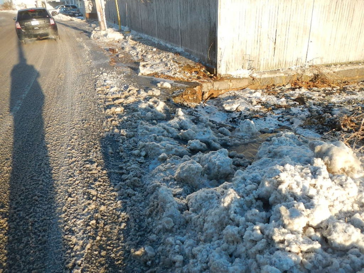
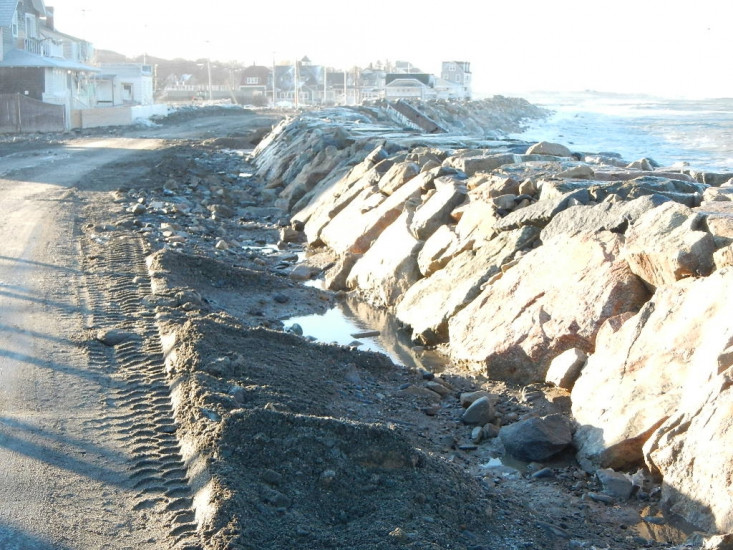
Roads
Street/Road: Unspecified
Specific Impacts:
- Splashover
- Impacted, but passable
- Impassable (flood water)
- Impassable (overwash)
- Impassable (washed out)
Marinas and Harbors
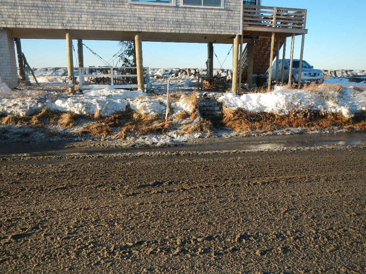
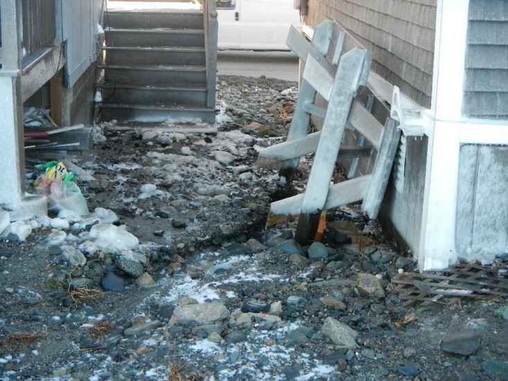
Buildings
Specific Impacts:
- Water flow around or under buildings
Hazardous Materials
Beach
Foot/Cycling Paths
Natural Resources
Current Response
Response:
- Road clearing
You must be logged in to post a comment.
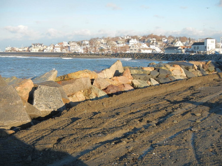
"Nantasket ave has minor undermining at retaining wall; flooding came from overtopping at revetmemnt on nant ave ext; souring of revetment and breach helped; water and debris went betwwen houses"