Roads
Street/Road: Unspecified
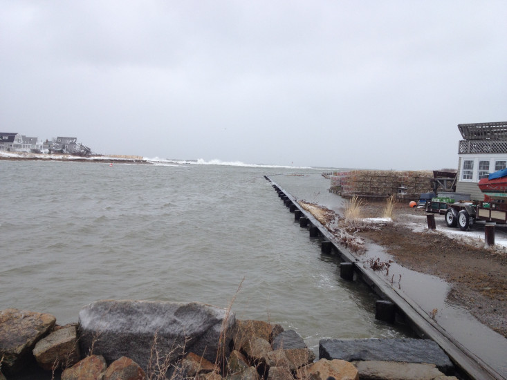
Marinas and Harbors
Buildings
Hazardous Materials
Beach
State: Y
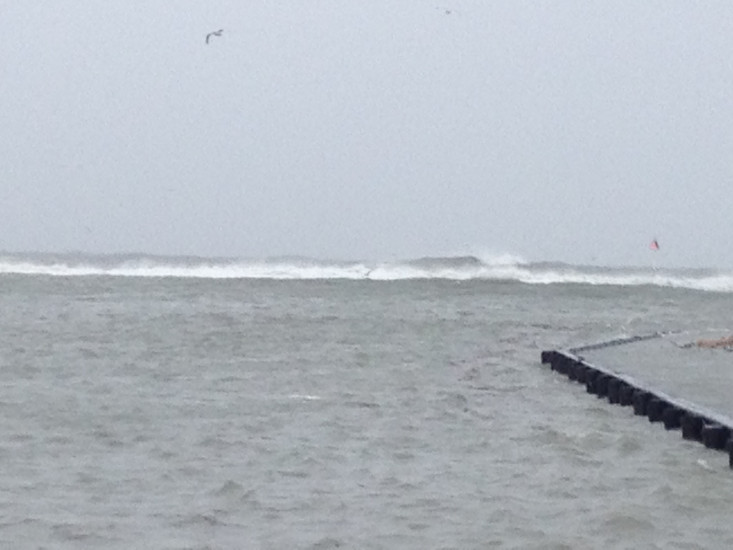
Coastal Structures
Specific Impacts:
- Splashover
Foot/Cycling Paths
Natural Resources
Current Response
You must be logged in to post a comment.
Street/Road: Unspecified
State: Y
Specific Impacts:
"Green Harbor Jetty getting pounded by heavy surf"