Plymouth County
Marshfield, MA
Storm Report
Impacts Reported
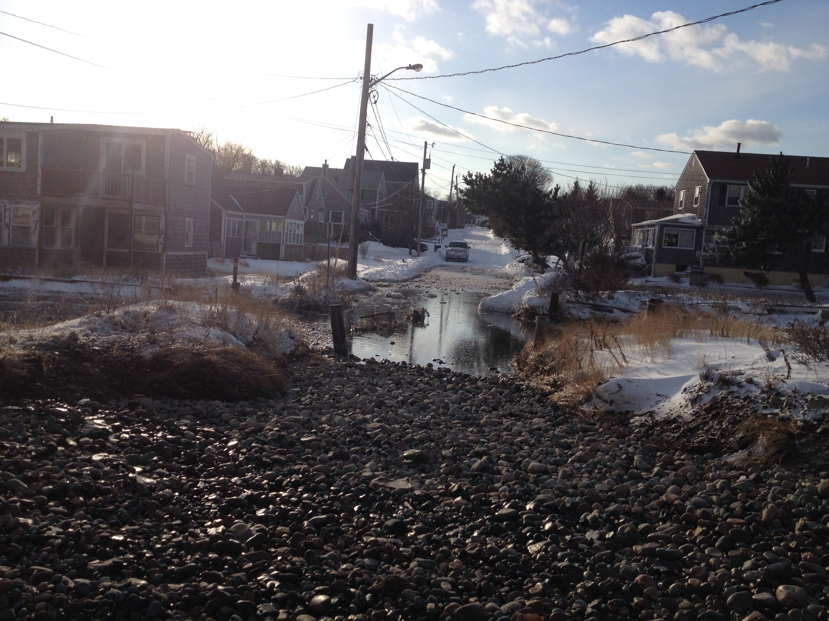
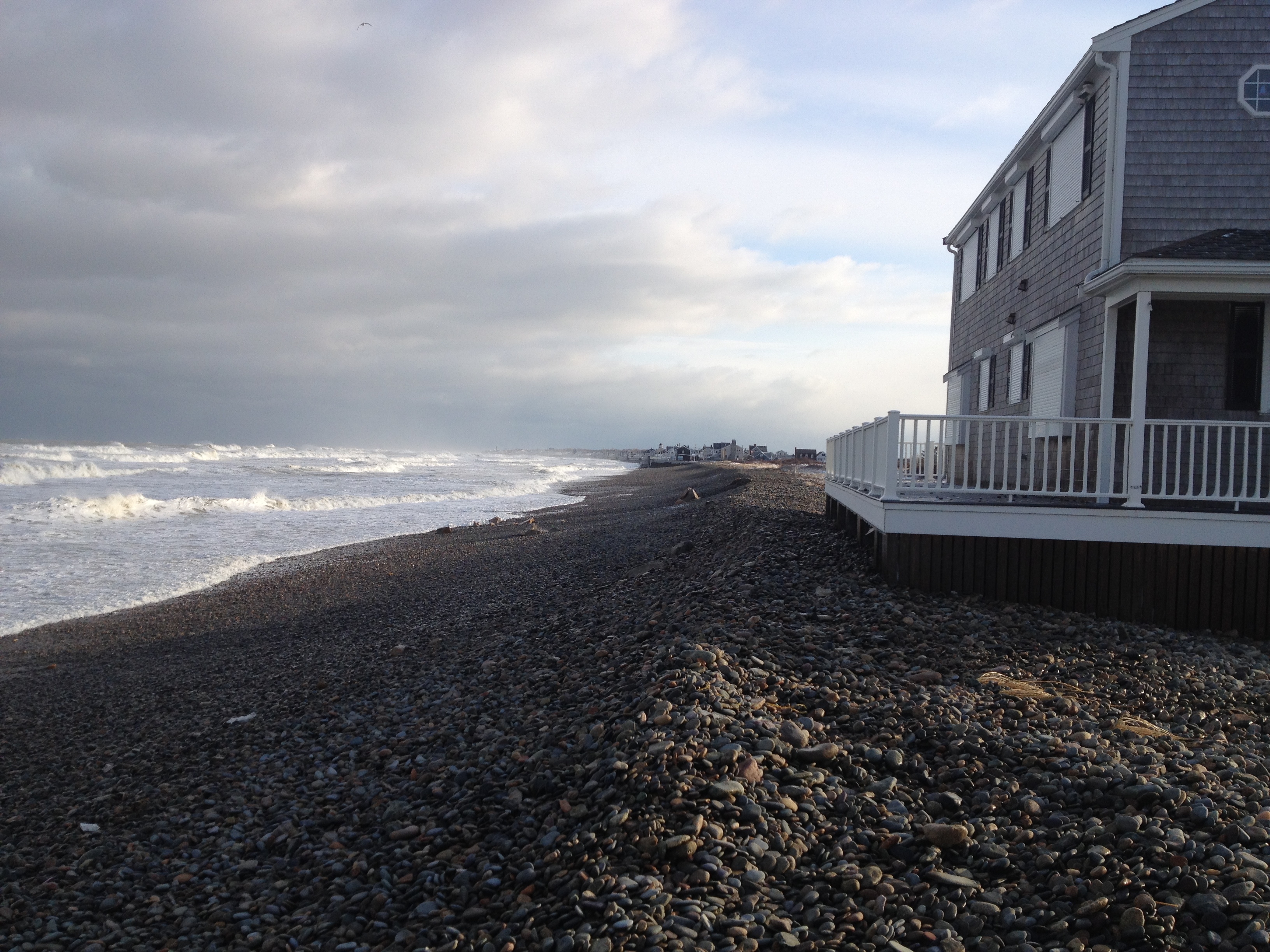
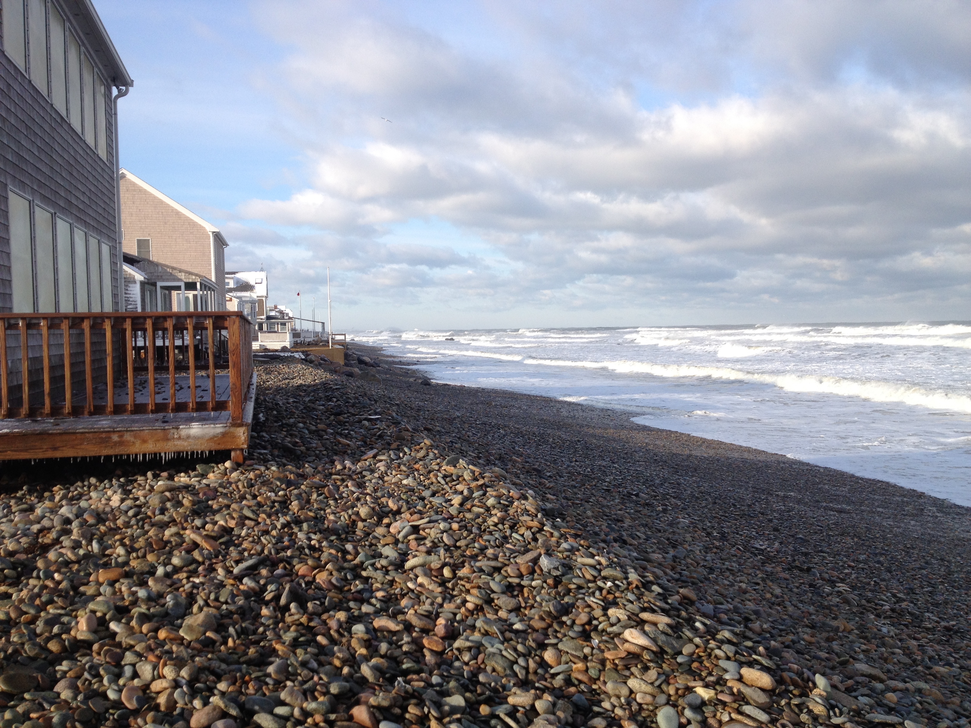
Roads
Street/Road: Unspecified
Specific Impacts:
- Splashover
- Impacted, but passable
- Impassable (flood water)
- Impassable (overwash)
Marinas and Harbors
Buildings
Hazardous Materials
Beach
Foot/Cycling Paths
Natural Resources
Specific Impacts:
- Eroded beach
- Overwashed beach/dune
Current Response
Tidal Overview
![]() 2 hours 23 minutes after high tide
2 hours 23 minutes after high tide
Data from Brant Rock, Green Harbor River (2.6 miles away)
High Tide (Predicted): 12:22 pm, 11.6' MLLW
■ Observed
■ Predicted water level
⬤ Report time
Weather Overview
Wind Speed: 7.1 MPH
Wind Direction: NW (310°)
Temperature: 18℉
Rainfall (Calendar Day): 0"
Rainfall (Past 24 Hours): 0.08"
You must be logged in to post a comment.