Roads
Street/Road: Unspecified
Specific Impacts:
- Impacted, but passable
- Impassable (flood water)
- Impassable (overwash)
Marinas and Harbors
Buildings
Hazardous Materials
Beach
State: Y
Coastal Structures
Natural Resources
Current Response
Response:
- None
You must be logged in to post a comment.
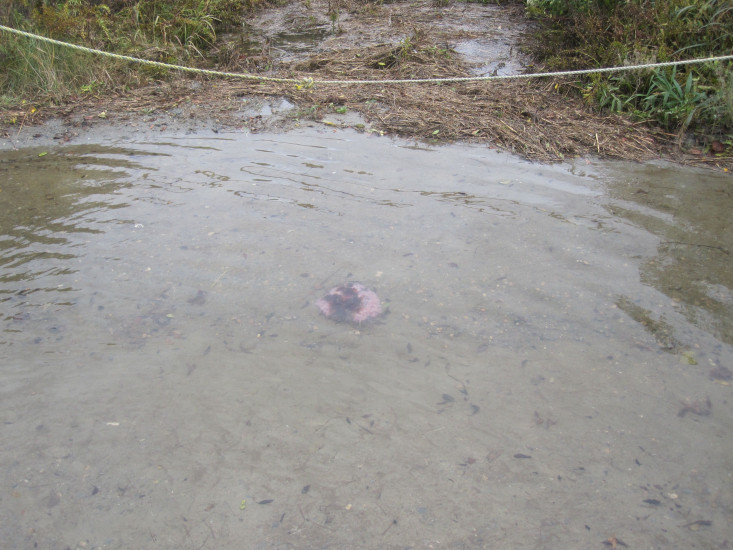
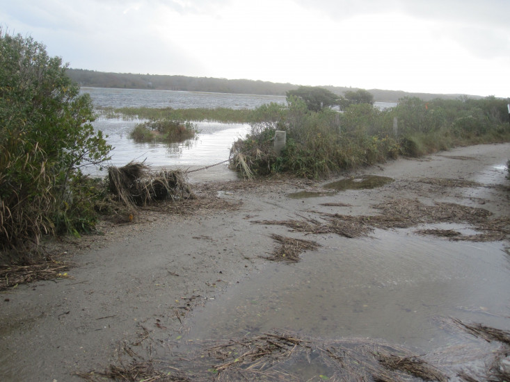
"Flooding evident from high tide last night. Road overwash evident from marsh side.Almost a dune breakthrough into Great Sippewissett."