Roads
Street/Road: Unspecified
Specific Impacts:
- Impassable (flood water)
Marinas and Harbors
Buildings
Hazardous Materials
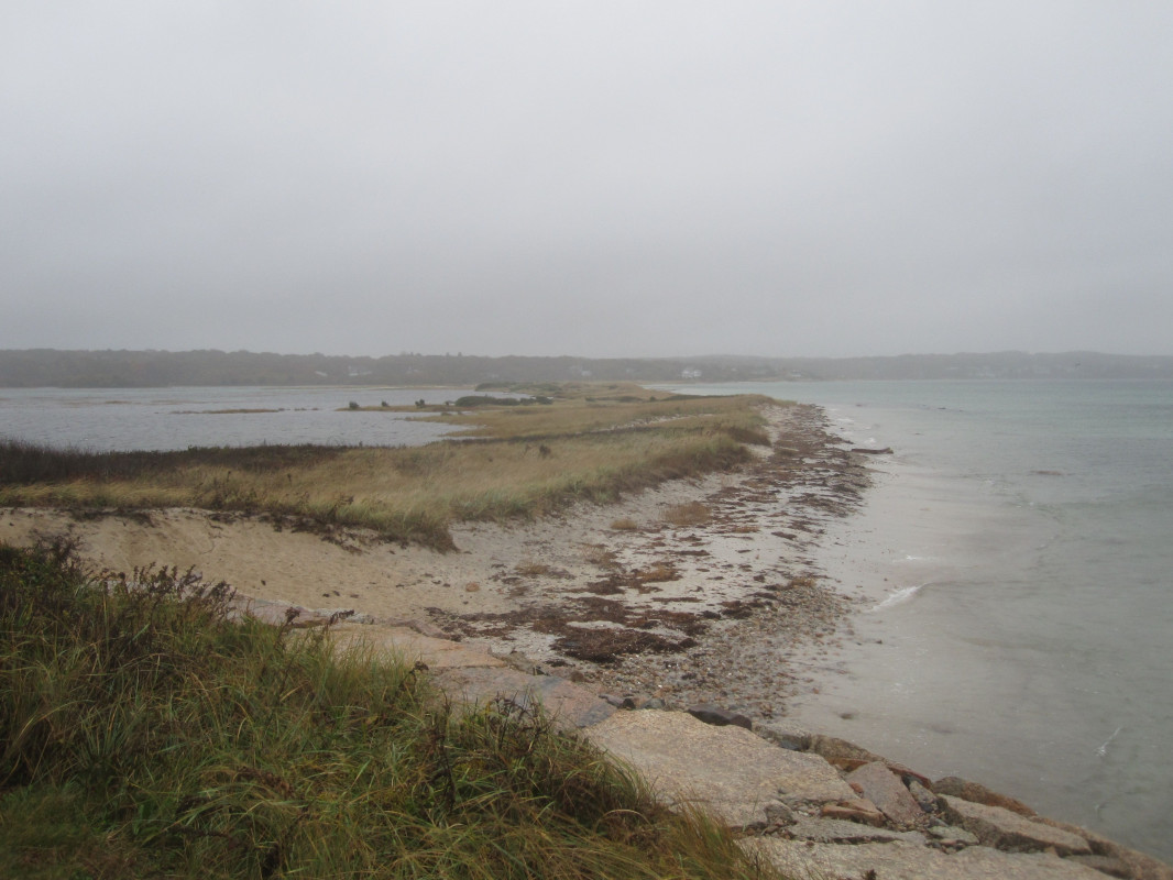
Beach
State: Y
Coastal Structures
Foot/Cycling Paths
Natural Resources
Current Response
Response:
- None
You must be logged in to post a comment.
"Dune system protecting Great Sippewisset Marsh is almost non-existent. B.Bay was fortunate to have offshore winds."