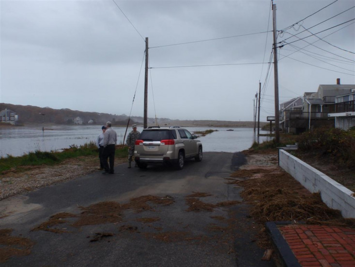
Roads
Street/Road: Unspecified
Specific Impacts:
- Splashover
- Impassable (flood water)
Marinas and Harbors
Buildings
Hazardous Materials
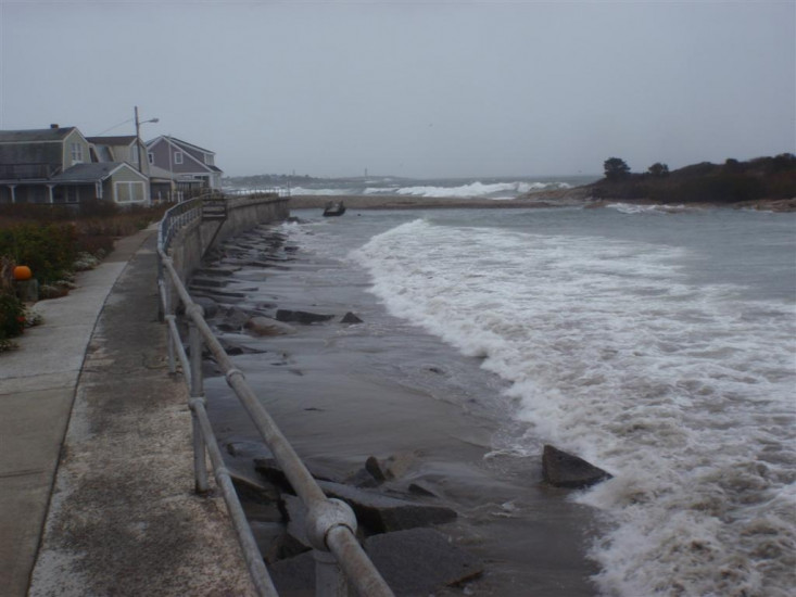
Beach
State: Y
Coastal Structures
Natural Resources
Current Response
You must be logged in to post a comment.
Street/Road: Unspecified
Specific Impacts:
State: Y
"Photo showing water level on road at end of Long Beach development at about 1 hour before high tide."