Norfolk County
Milton, MA
Storm Report
Impacts Reported
User Submitted Data
Roads
Street/Road: Unspecified
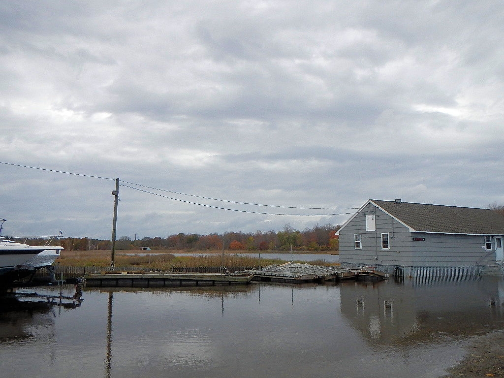
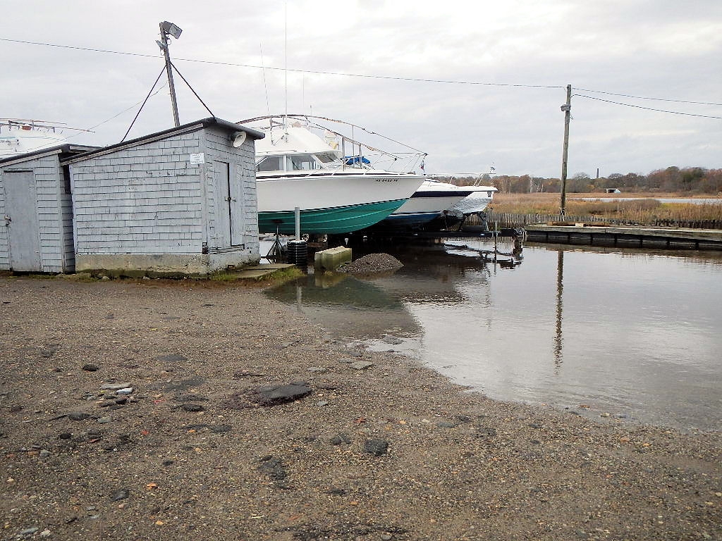
Marinas and Harbors
Specific Impacts:
- Damaged piers/docks
Buildings
Specific Impacts:
- Water flow around or under buildings
Hazardous Materials
Beach
Foot/Cycling Paths
Natural Resources
Specific Impacts:
- Overwashed beach/dune
Current Response
Response:
- None
Tidal Overview
![]() 0 hours 59 minutes after high tide
0 hours 59 minutes after high tide
Data from BOSTON (5.7 miles away)
Water Level (at time of report): 1:15 pm, 11.1' MLLW
High Tide (Predicted): 12:10 pm, 10.3' MLLW
High Tide (Observed): 12:12 pm, 11.7' MLLW
■ Observed
■ Predicted water level
⬤ Report time
Weather Overview
Wind Speed: 14.3 MPH
Wind Direction: SE (125°)
Temperature: 64℉
Rainfall (Calendar Day): 0"
Rainfall (Past 24 Hours): 1.25"
You must be logged in to post a comment.
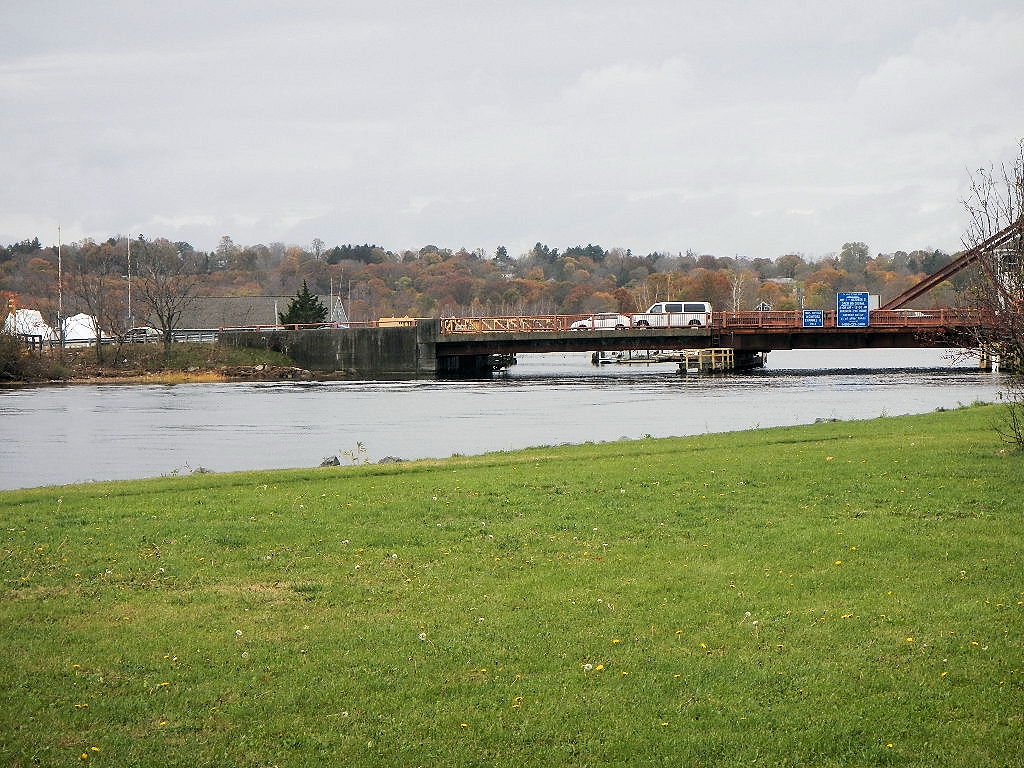
MArina next to bridge still flooded. one view from outer side of bridge shows Neponset River still running high.