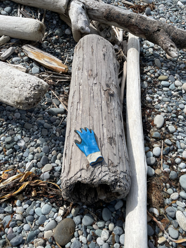
Fort Casey, WA

Island County


Type: Downed piling

Photo from: Shore

Piling length: 5-10'

Number of pilings: 1

Debris source: Unspecified

Ownership: Unspecified


05/09/2022 | 11:30 am

Tidal Overview

1 hours 50 minutes after high tide

Data from PORT TOWNSEND (5.3 miles away)

Water Level (at time of report): 11:30 am, 5.1'

High Tide (Predicted): 12:59 am, 8.2'

High Tide (Observed): 12:54 am, 8.8'

Observed Predicted water level Report time

Weather Overview

Wind Speed: 5.8 MPH

Wind Direction: SSE (150°)

Temperature: 51℉

Rainfall (Calendar Day): 0.003"

Rainfall (Past 24 Hours): 0.02"

(Click here for full weather details)


You must be logged in to post a comment.