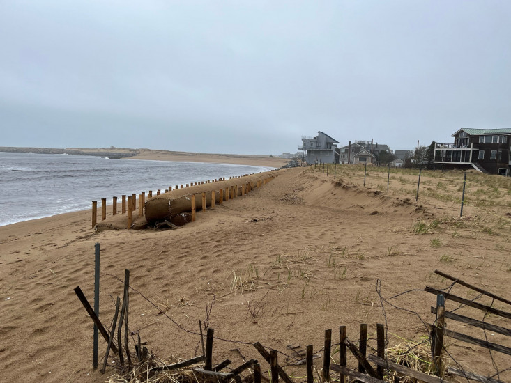
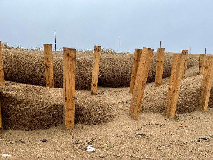
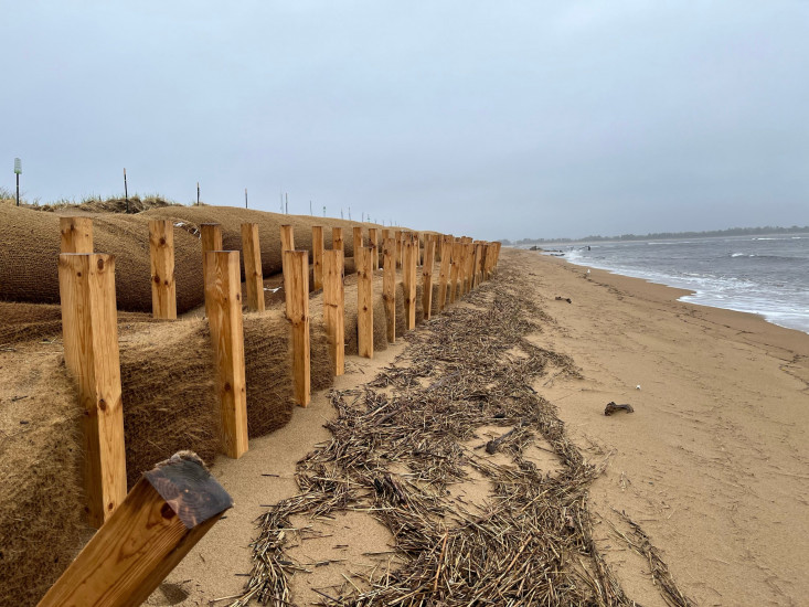
Newburyport, MA (Coir logs, PI Point, NBPT)
Essex County
Storm Report
04/19/2022 | 9:12 am
Impacts Reported

Roads
Street/Road: Unspecified
Marinas and Harbors
Buildings
Hazardous Materials
Beach
State: Accessible
Coastal Structures
Natural Resources
Specific Impacts:
- Eroded dune
Comments: Continuous dune erosion is occurring behind the terminus of the coir logs at the northern end. .
Current Response
You must be logged in to post a comment.