
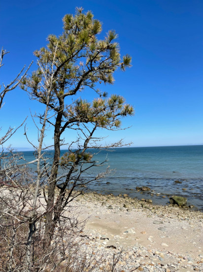
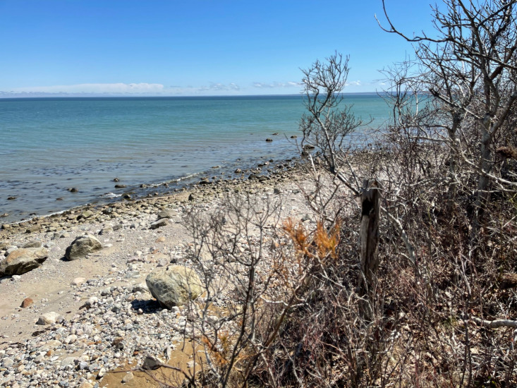
Photo description: Cliff side views, Center Hill Beach
Coastal resources in/directly adjacent to project footprint:
- beach (mixed sediment)
- coastal bank
- intertidal (rock)
Project elevation:
- between MHW and mean low water (MLW)
Coastal infrastructure present at site:
- none
Site stability:
- eroding
Vegetative cover of project area:
- sparse (<25%)
Dominant vegetative type within project area: shrubs
Displaced/unanchored and degraded project materials:
- rocks
Human impacts at project site:
- foot traffic
You must be logged in to post a comment.