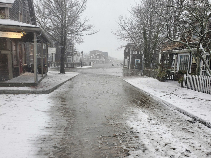
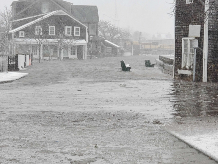
Nantucket, MA (Easy Street)

Nantucket County

Impacts Reported


Roads

Street/Road: Unspecified

Specific Impacts:

  • Impassable (flood water)

Comments: Widespread flooding along the harbor.

Marinas and Harbors
Buildings

Specific Impacts:

  • Water flow around or under buildings

Hazardous Materials
Beach

State: Accessible

Coastal Structures
Natural Resources
Current Response

01/29/2022 | 9:23 am

Tidal Overview

0 hours 13 minutes before high tide

Data from NANTUCKET (0.1 miles away)

Water Level (at time of report): 9:23 am, 6.6'

High Tide (Predicted): 9:04 am, 4'

High Tide (Observed): 9:36 am, 6.6'

Observed Predicted water level Report time

Weather Overview

Wind Speed: 49.1 MPH

Wind Direction: NNE (20°)

Temperature: 35℉

Rainfall (Calendar Day): 0.007"

Rainfall (Past 24 Hours): 0.59"

(Click here for full weather details)


You must be logged in to post a comment.