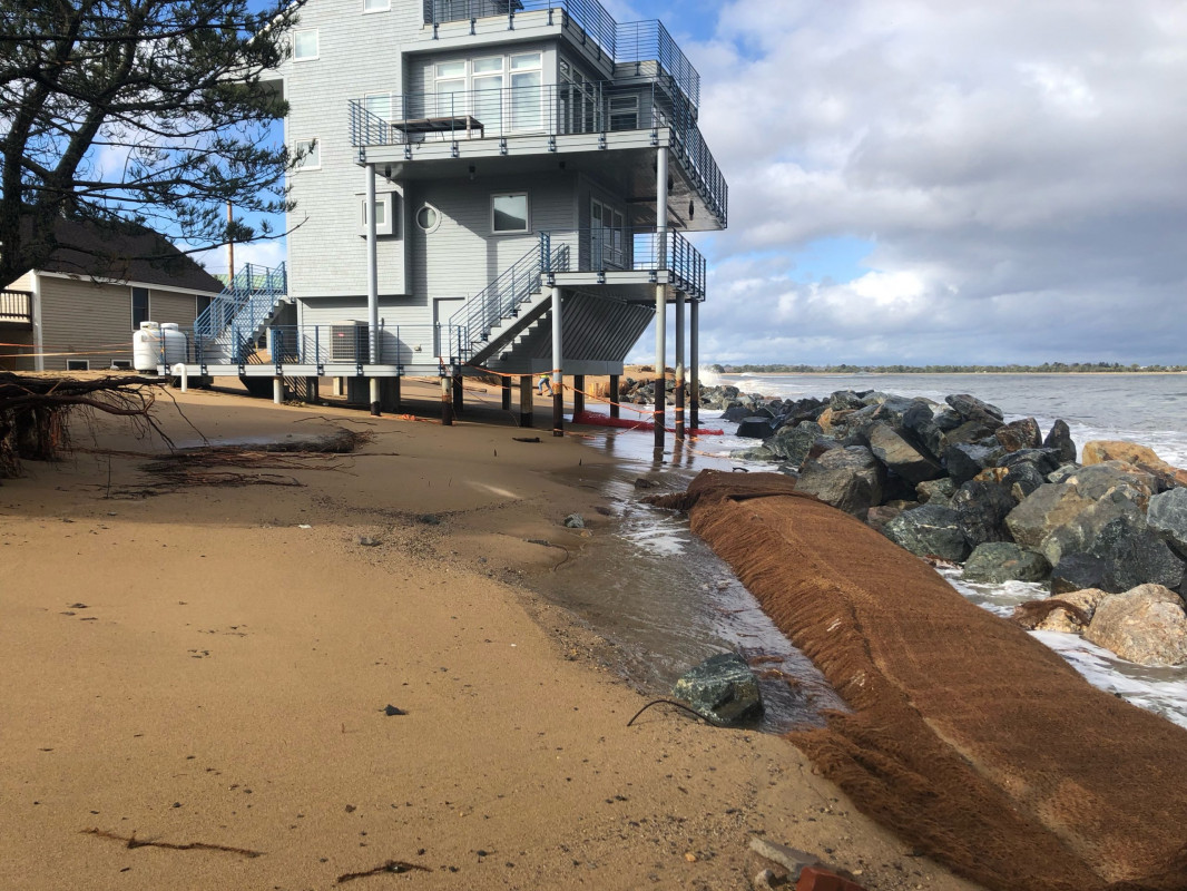
Newburyport, MA (Beach between 73rd and 75th Streets)
Essex County
Storm Report
01/17/2022 | 12:43 pm
Impacts Reported
Roads
Street/Road: Unspecified
Marinas and Harbors
Buildings
Hazardous Materials
Beach
State: Inaccessible
Coastal Structures
Natural Resources
Specific Impacts:
- Eroded dune
Comments: New coir log installed behind the boulder wall is exposed and erosion behind it is occurring
Current Response
Response:
- None
You must be logged in to post a comment.