Roads
Street/Road: Unspecified
Marinas and Harbors
Buildings
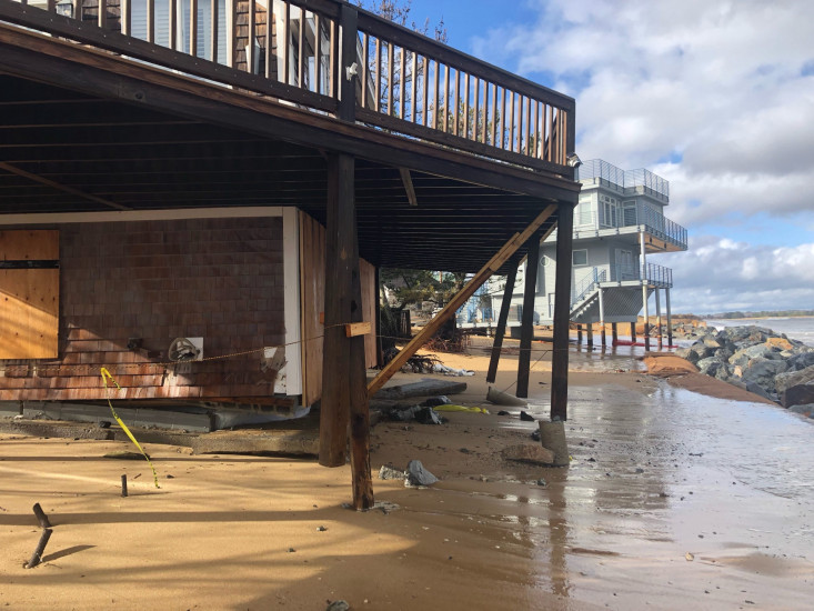
Street: 15 73rd St
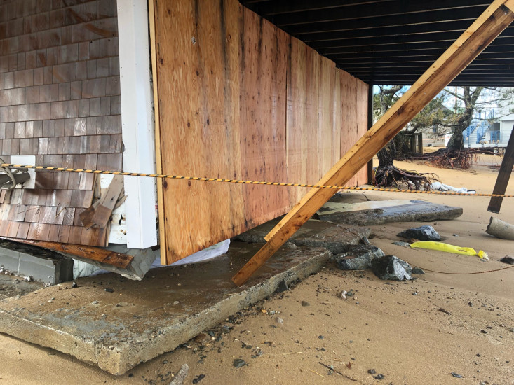
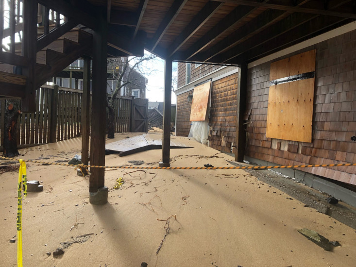
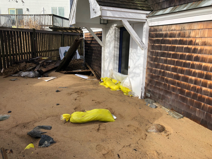
Specific Impacts:
- Water flow around or under buildings
- Damaged stairs/decks
- Damaged windows/sidings
- Damaged foundations/pilings
- Displaced/destroyed
Comments: This house has sustained damage over several storms. However this storm has displaced the 6” slab foundation. Waves and sand entering the home.
Hazardous Materials
Beach
State: Accessible
Coastal Structures
Natural Resources
Current Response
Response:
- Other
Specific response: NBPT FD we’re waiting for building inspector to condemn home.
You must be logged in to post a comment.