Roads
Street/Road: Unspecified
Marinas and Harbors
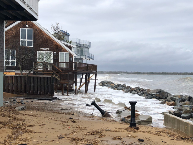
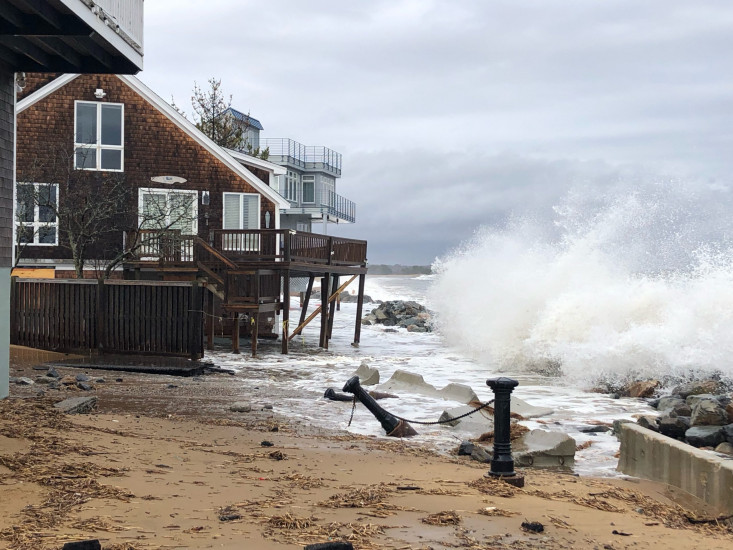
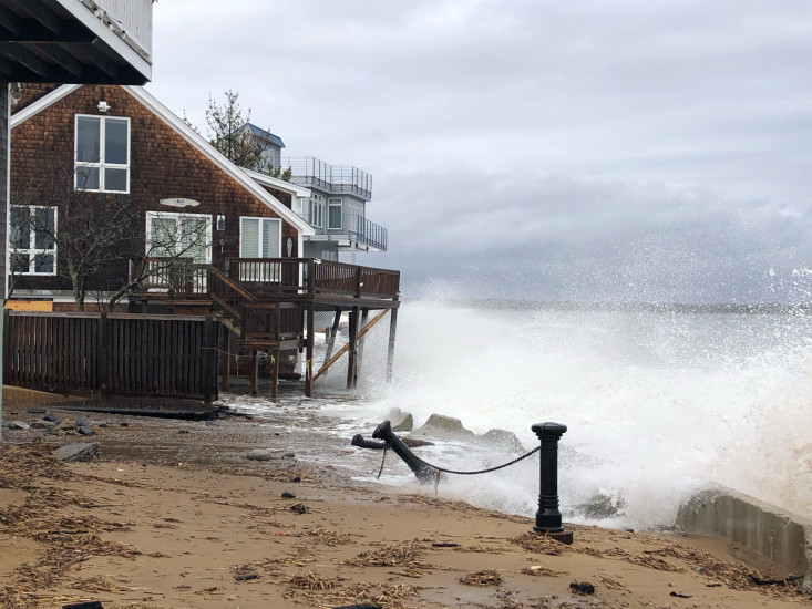
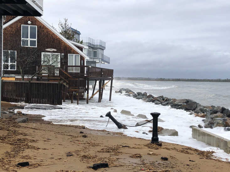
Buildings
Street: 15 73rd St
Specific Impacts:
- Water flow around or under buildings
- Damaged stairs/decks
- Damaged windows/sidings
- Damaged foundations/pilings
Comments: Cracks in foundation. Pilings on deck dislodged
Hazardous Materials
Beach
Foot/Cycling Paths
Natural Resources
Current Response
Response:
- Other
Specific response: NBPT FD on scene
You must be logged in to post a comment.