
Suffolk County
Winthrop, MA

Coastal Resilience Report
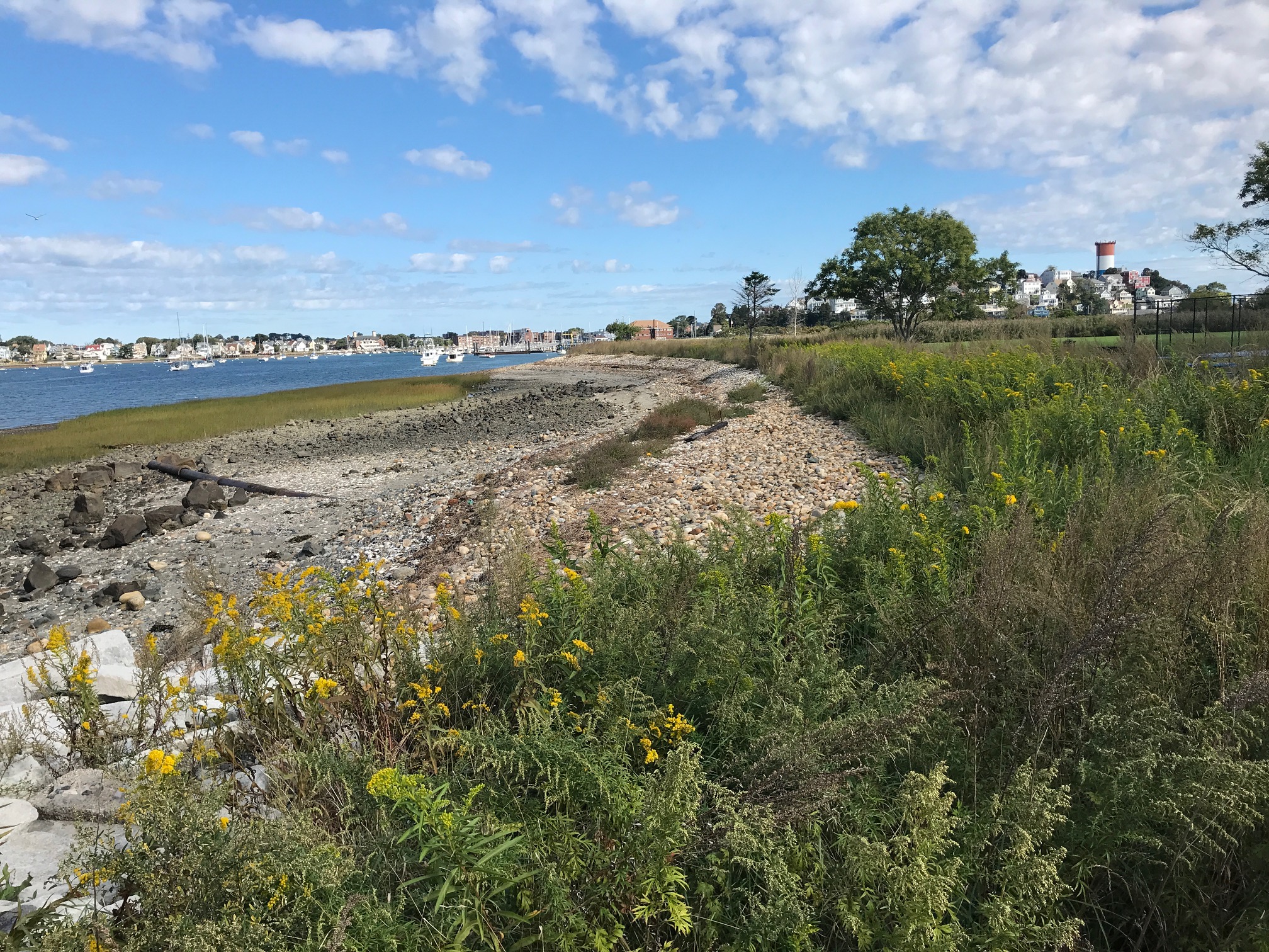
User Submitted Data
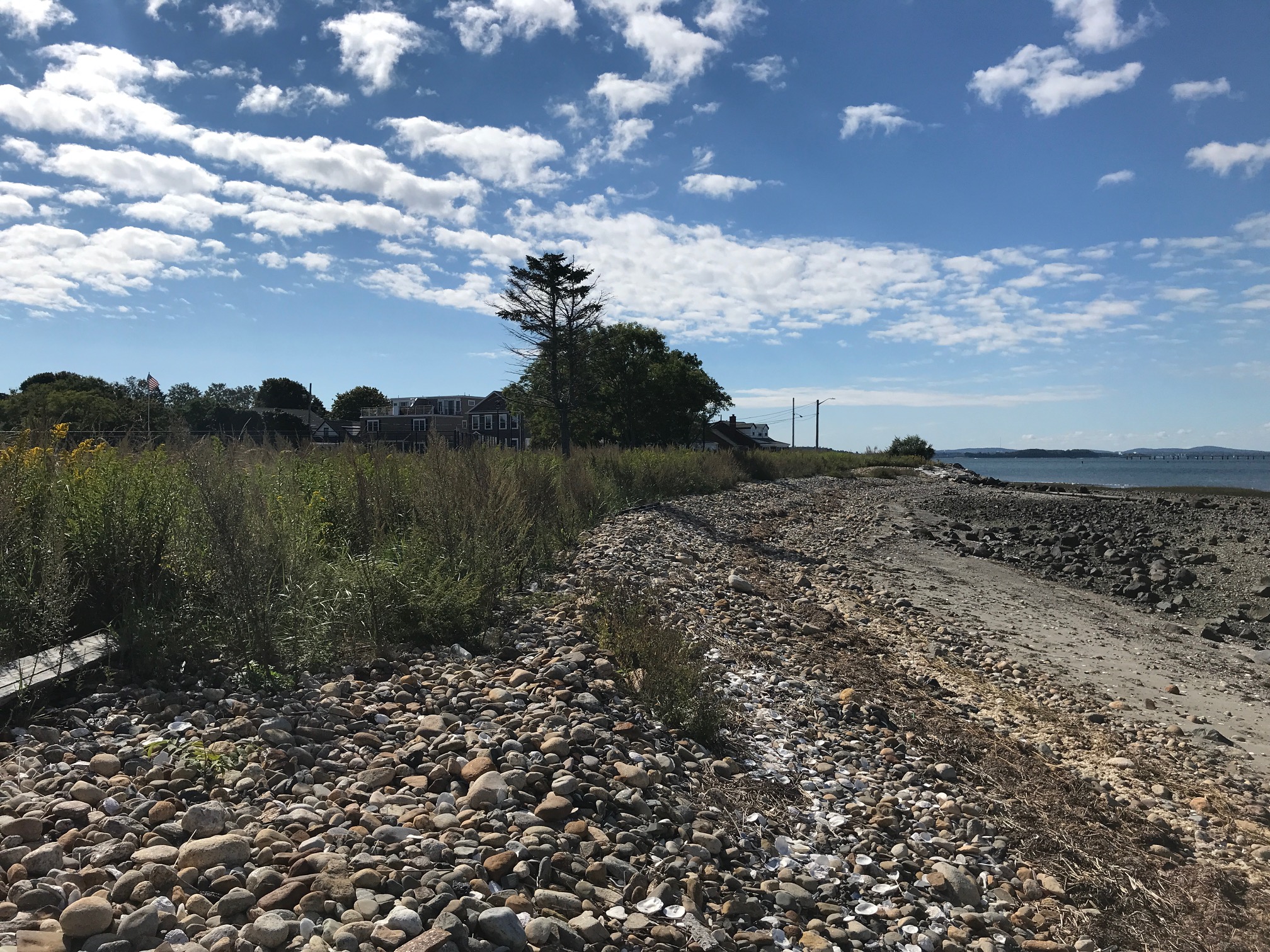
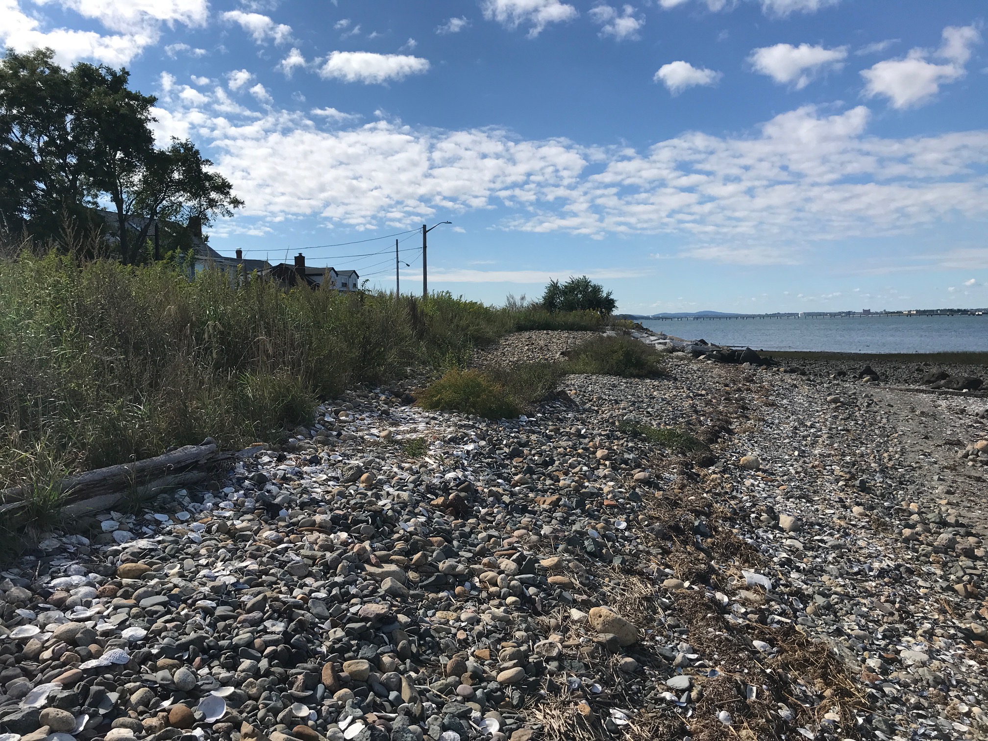
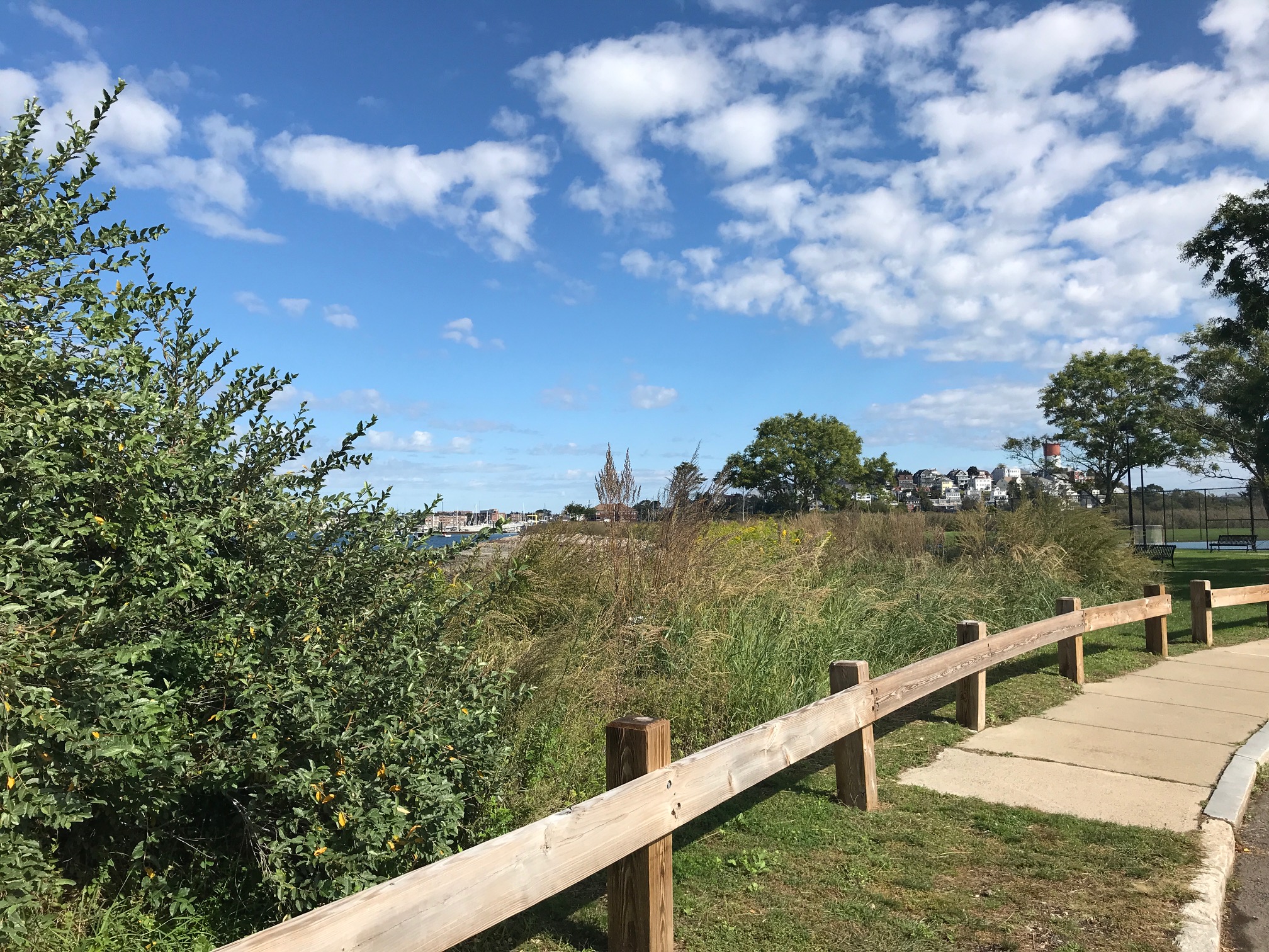
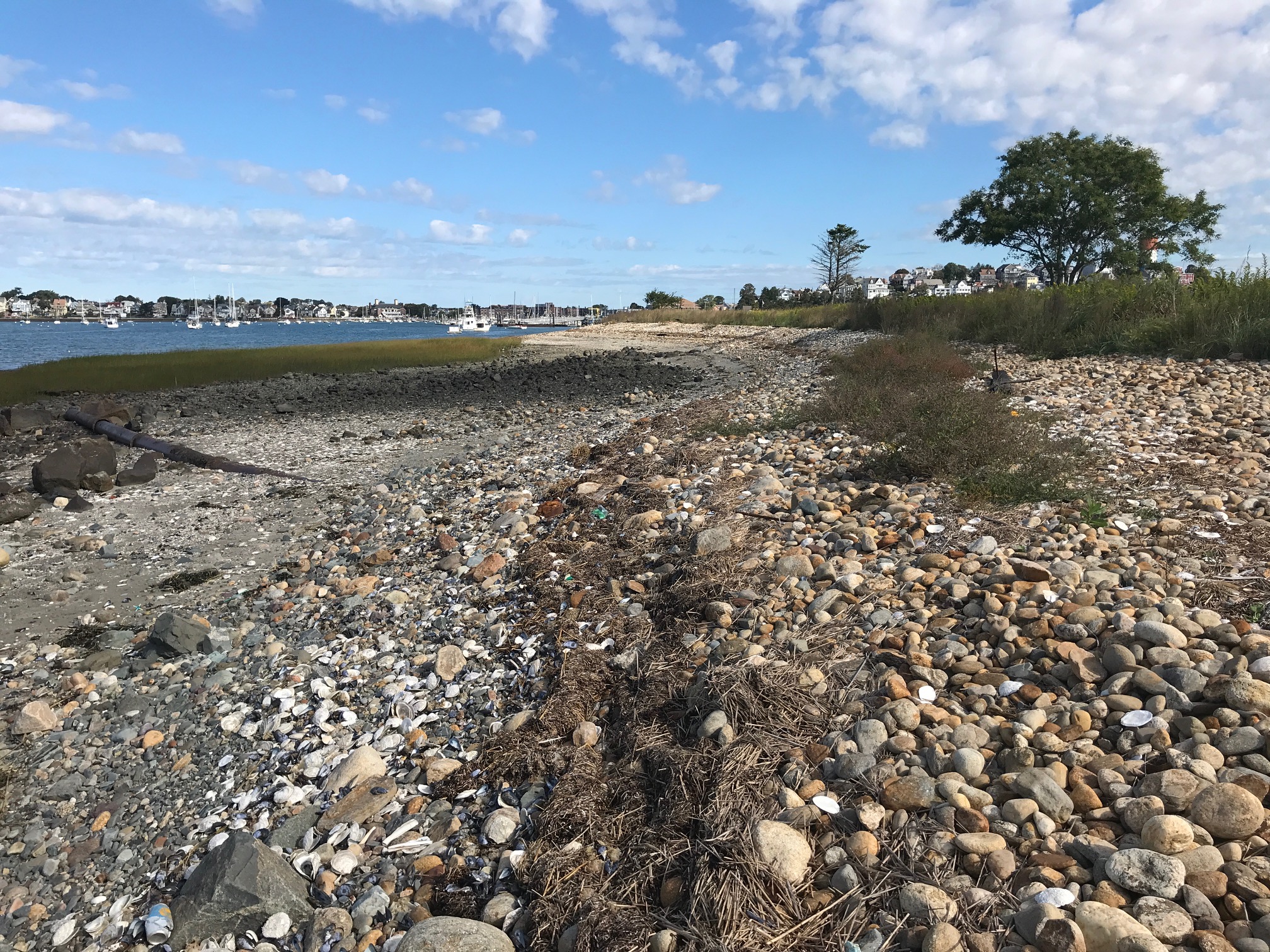
Photo description: Coughlin Park, Winthrop living shoreline fall 2021 monitoring.
Coastal resources in/directly adjacent to project footprint:
- beach (mixed sediment)
- beach (cobble)
- coastal bank
- salt marsh (fronting beach)
Project elevation:
- above mean high water (MHW)
Coastal infrastructure present at site:
- revetment
Site stability:
- stable
Vegetative cover of project area:
- dense
Dominant vegetative type within project area: shrubs
Displaced/unanchored and degraded project materials:
- none
Human impacts at project site:
- foot traffic
- other
Other human impacts: trash
Marine-related impacts:
- wrack
- marine debris
Tidal Overview
 5 hours 3 minutes after high tide
Data from BOSTON (4 miles away)
Water Level (at time of report): 10:56 am, 3.5' MLLW
High Tide (Predicted): 5:57 am, 8' MLLW
High Tide (Observed): 5:42 am, 8.6' MLLW
Loading NOAA Tide Data…
Weather Overview
Wind Speed: 11.3 MPH
Wind Direction: N (9°)
Temperature: 63℉
Rainfall (Calendar Day): 0"
Rainfall (Past 24 Hours): 0.71"
Coughlin Park, Winthrop fall 2021 monitoring