Brewster, MA

Barnstable County


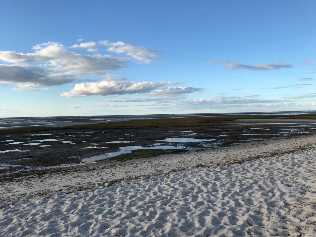
Photo description: John Whig trail #1 spot 10/17/21

Coastal resources in/directly adjacent to project footprint:

  • beach (sandy)
  • salt marsh (fronting beach)
  • intertidal (sand)

Vegetative cover of project area:

  • moderate (25-75%)

Dominant vegetative type within project area: grasses

Displaced/unanchored and degraded project materials:

  • shellfish bags
  • rocks


10/17/2021 | 4:57 pm

Tidal Overview

5 hours 4 minutes before high tide

Data from Chatham Harbor, Aunt Lydias Cove (10.4 miles away)

Water Level (at time of report): 4:57 pm, 0.9'

High Tide (Predicted): 10:59 pm, 5.2'

High Tide (Observed): 10:48 pm, 6.2'

Observed Predicted water level Report time

Weather Overview

Wind Speed: 7.7 MPH

Wind Direction: WNW (285°)

Temperature: 62℉

Rainfall (Calendar Day): 0"

Rainfall (Past 24 Hours): 0.75"

(Click here for full weather details)


You must be logged in to post a comment.