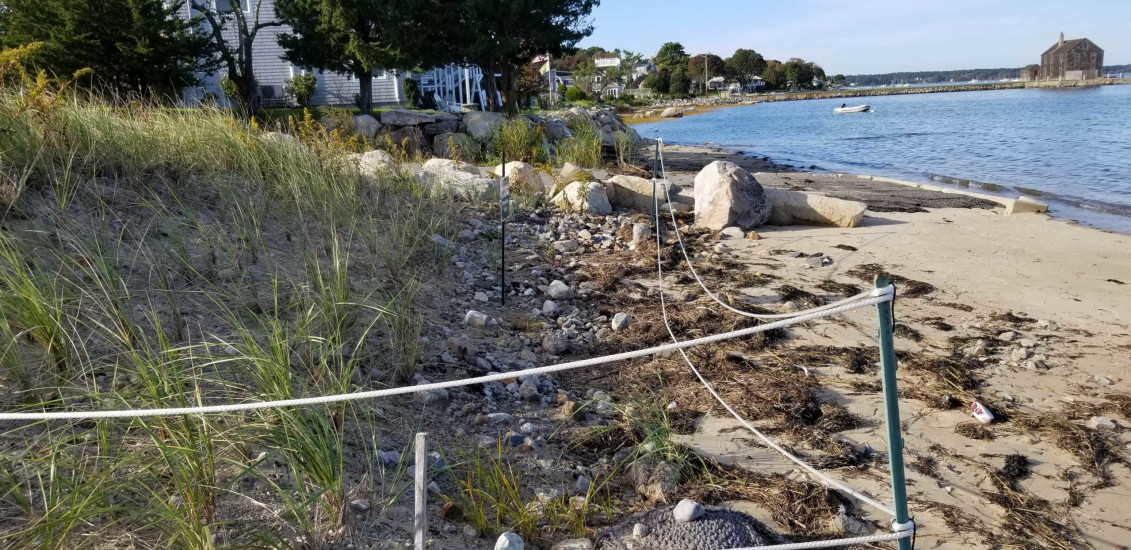
Photo description: GB-NLS-2
Coastal resources in/directly adjacent to project footprint:
- beach (sandy)
- beach (mixed sediment)
- beach (cobble)
- dune
- coastal bank
Project elevation:
- above mean high water (MHW)
Coastal infrastructure present at site:
- groin/jetty
- multi-use path or road
Site stability:
- eroding
Vegetative cover of project area:
- sparse (<25%)
Dominant vegetative type within project area: grasses
Displaced/unanchored and degraded project materials:
- rocks
- other
Other displaced/unanchored materials: Anchors/cables
Marine-related impacts:
- wrack
- storm damage
You must be logged in to post a comment.
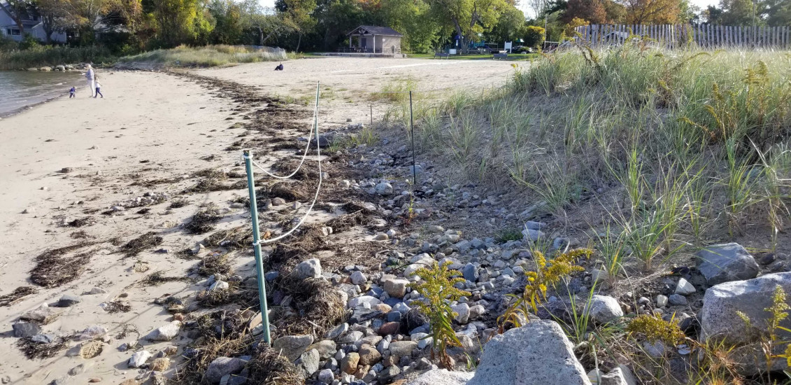
"Cobble from sand used to fix dune toes earlier this year."