
Barnstable County
Falmouth, MA
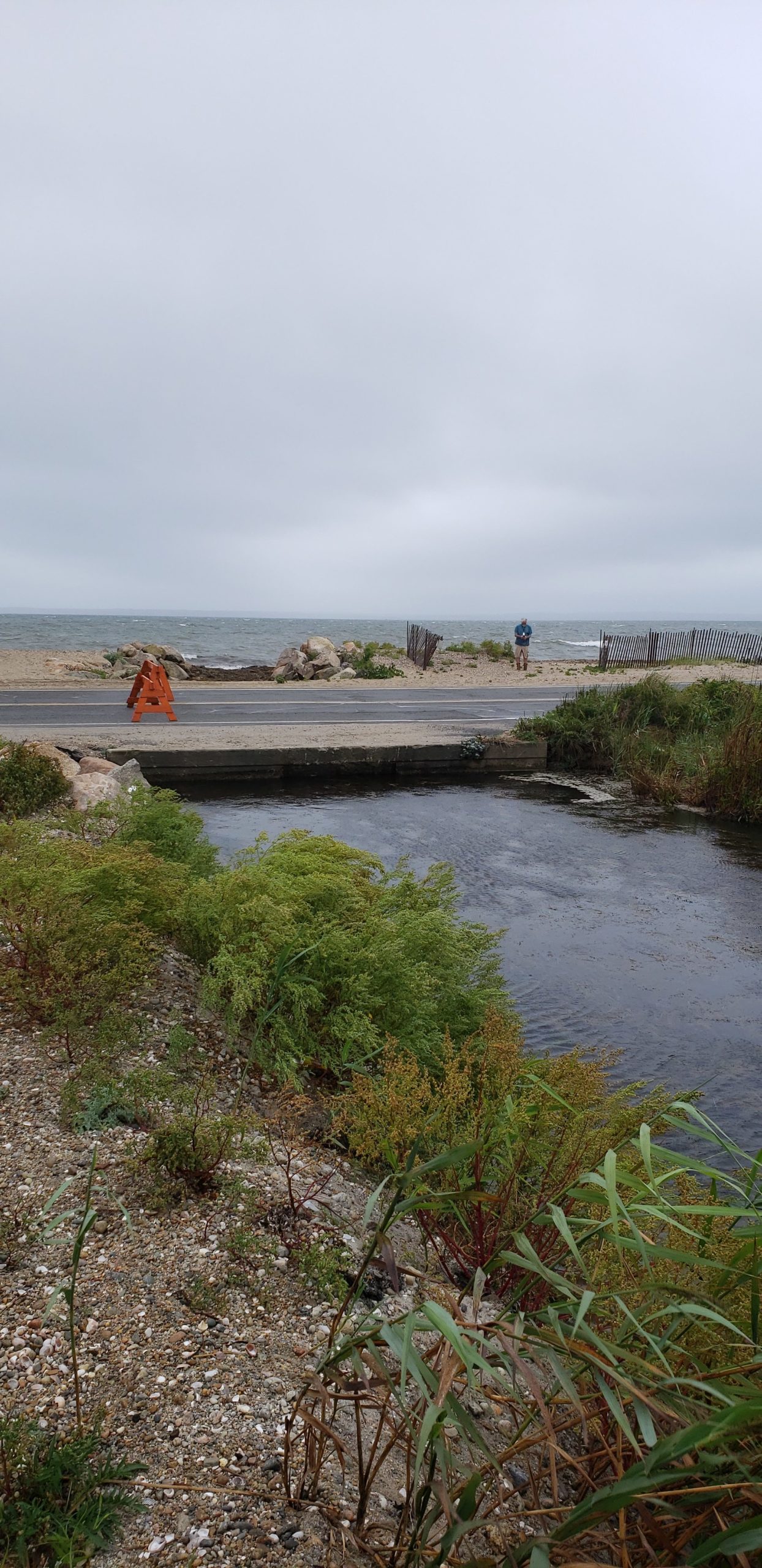
(Entrance to Salt Pond along surf Drive)

Storm Report
User Submitted Data
Roads
Street/Road: Unspecified
Specific Impacts:
- Splashover
- Impassable (other)
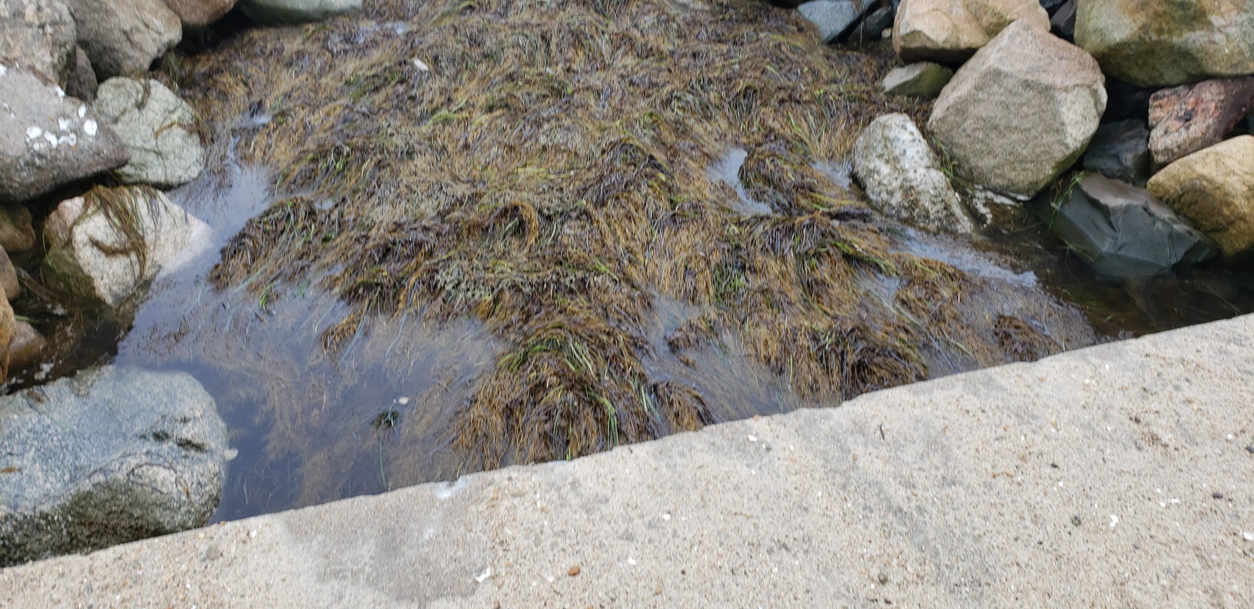
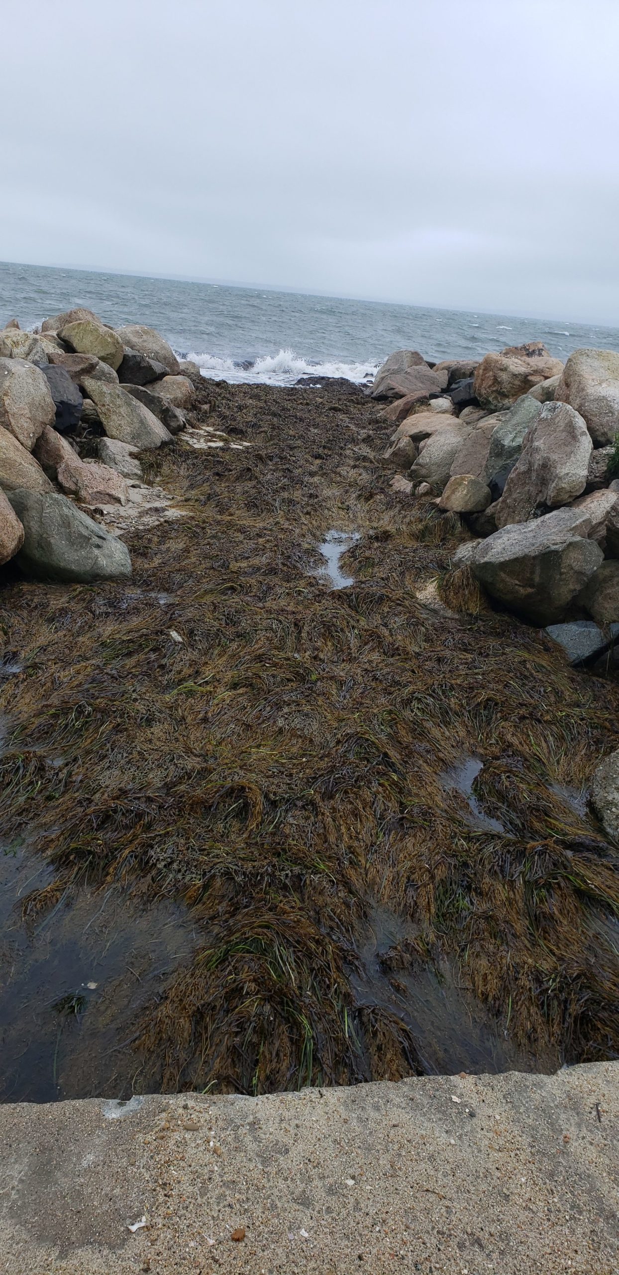
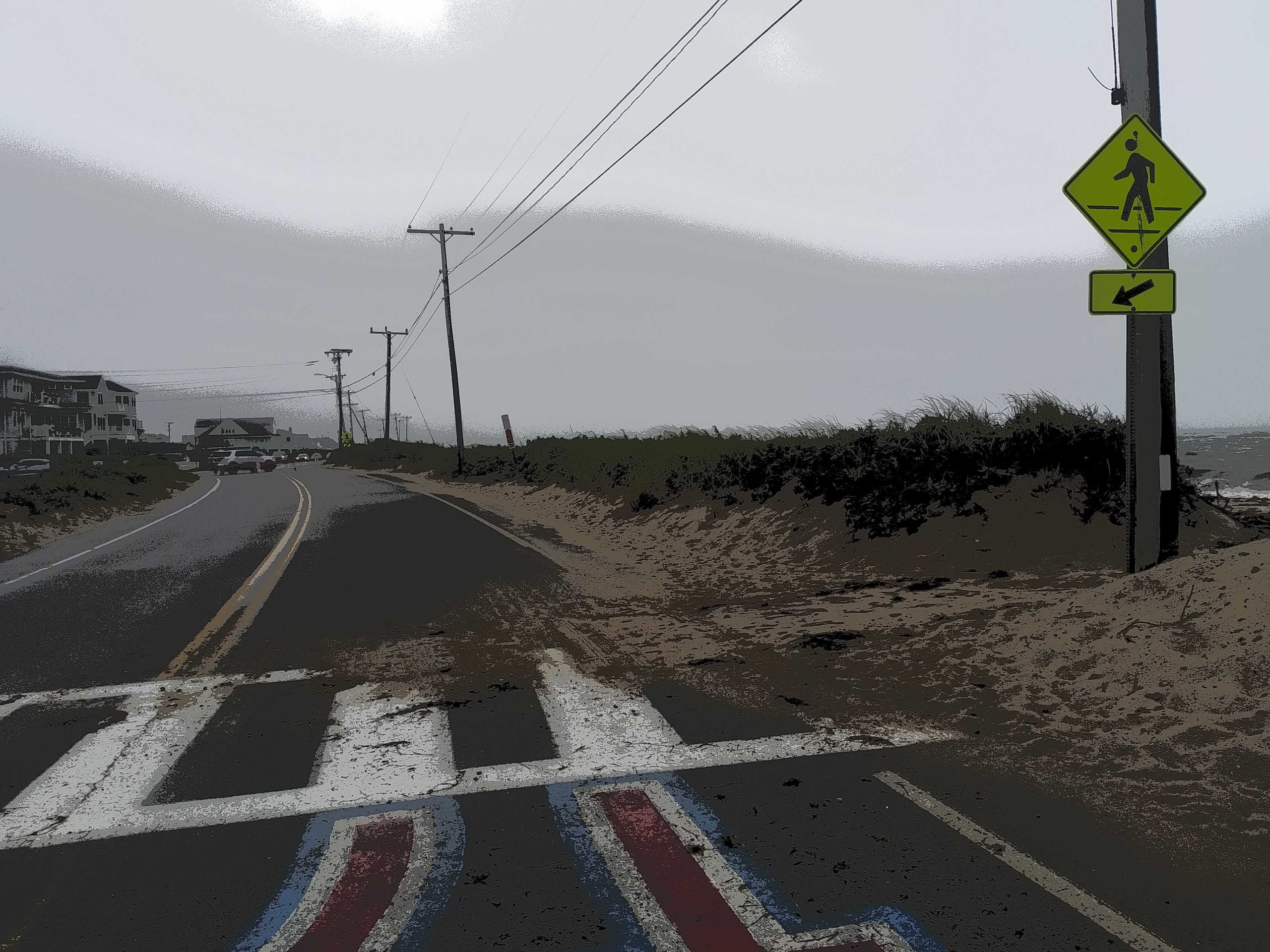
Specific road: All of Surf Drive closed by Falmouth Police because of two areas flooded earlier in the morning, and three wash over areas. In addition, the culvert and channel to Salt Pond was filled and obstructed by sand and algae. This is a recurring problem at this site.
Comments: Sand and algae filled culvert to Salt Pond on Surf Drive. All of Surf Drive closed by Falmouth Police because of two areas flooded earlier in the morning.
Marinas and Harbors
Buildings
Hazardous Materials
Beach
Coastal Structures
Foot/Cycling Paths
Natural Resources
Comments: Sand and algae filled culvert to Salt Pond.
Current Response
Response:
- None
Tidal Overview
 5 hours 58 minutes after high tide
Data from OCEANOGRAPHIC INSTITUTION (2.8 miles away)
Water Level (at time of report): 2:52 pm, 1.4' MLLW
High Tide (Predicted): 8:59 pm, 2.7' MLLW
High Tide (Observed): 8:54 am, 3.6' MLLW
Loading NOAA Tide Data…
Weather Overview
Wind Speed: 17 MPH
Wind Direction: SSE (157°)
Temperature: 73℉
Rainfall (Calendar Day): 0.003"
Rainfall (Past 24 Hours): 0.15"
Sand and algae filled culvert to Salt Pond on Surf Drive. All of Surf Drive closed by Falmouth Police because of two areas flooded earlier in the morning.