Barnstable County
Brewster, MA
Coastal Resilience Report
User Submitted Data
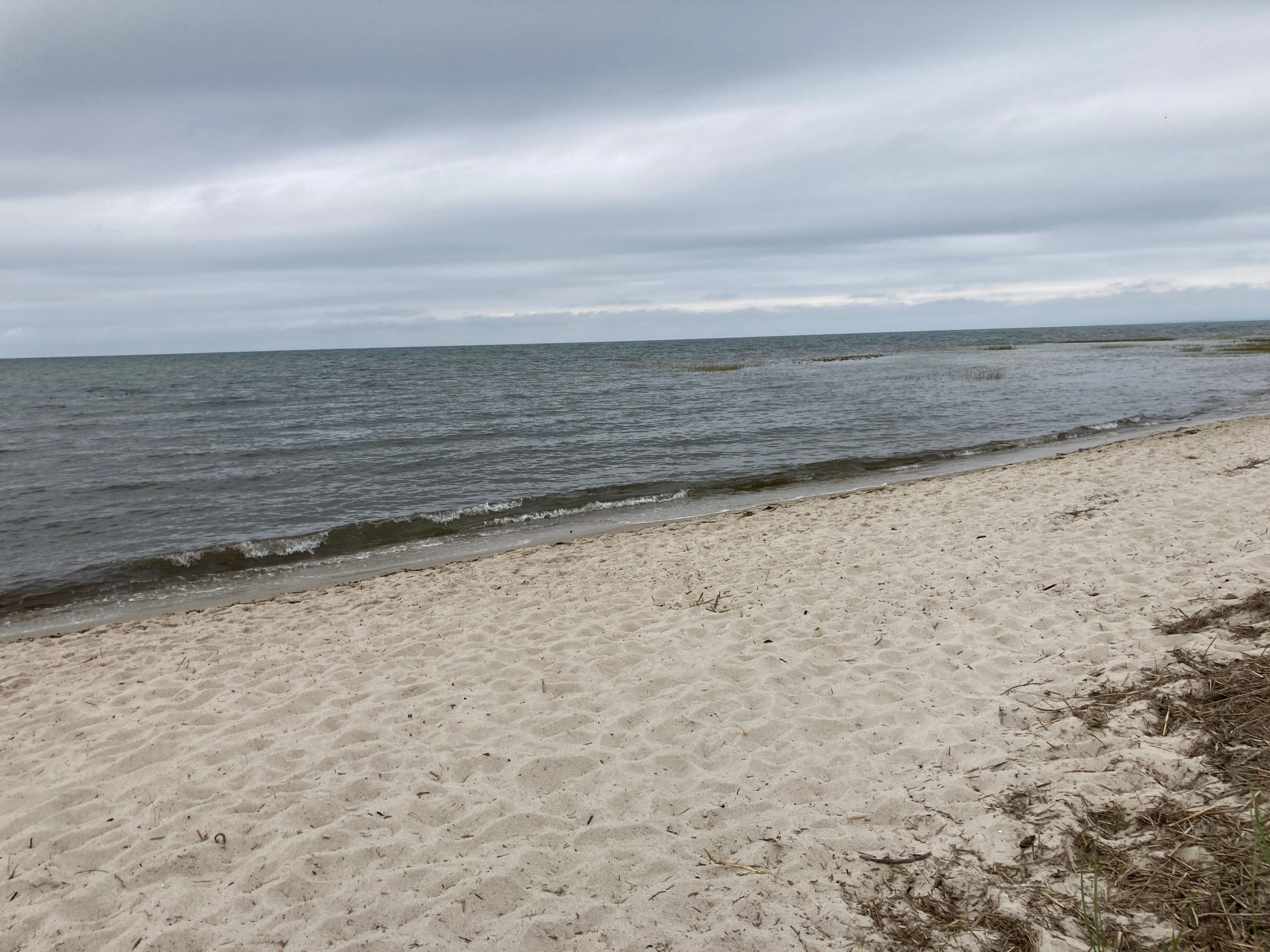
Photo description: #CCMNH-WEST-4
Coastal resources in/directly adjacent to project footprint:
- beach (sandy)
- salt marsh (fronting beach)
Project elevation:
- above mean high water (MHW)
Coastal infrastructure present at site:
- none
Site stability:
- unknown
Vegetative cover of project area:
- moderate
Dominant vegetative type within project area: other
Displaced/unanchored and degraded project materials:
- none
Tidal Overview
![]() 0 hours 4 minutes after high tide
0 hours 4 minutes after high tide
Data from Chatham Harbor, Aunt Lydias Cove (10.4 miles away)
Water Level (at time of report): 1:31 pm, 5' MLLW
High Tide (Predicted): 2:22 pm, 4.6' MLLW
High Tide (Observed): 2:12 pm, 5.1' MLLW
Loading NOAA Tide Data…
■ Observed
■ Predicted water level
⬤ Report time
Weather Overview
Wind Speed: 5.9 MPH
Wind Direction: N (355°)
Temperature: 74℉
Rainfall (Calendar Day): 0"
Rainfall (Past 24 Hours): 0.11"
You must be logged in to post a comment.