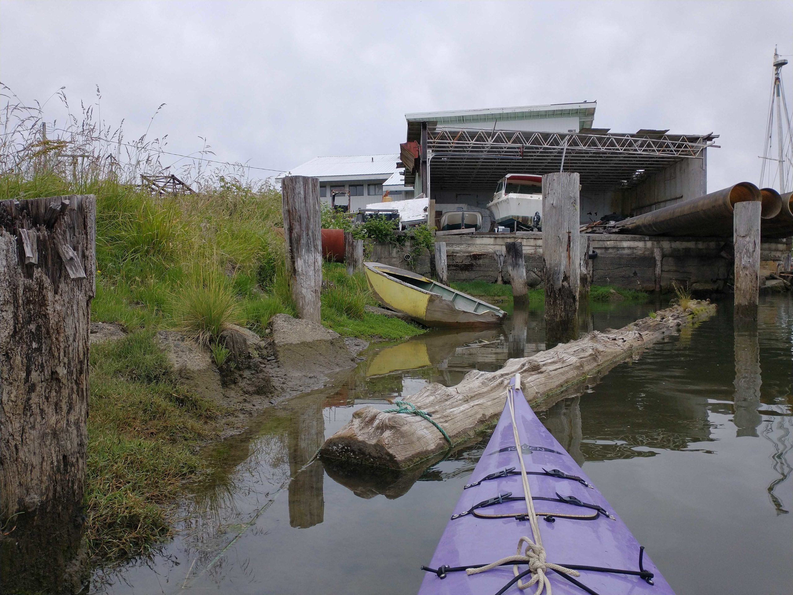
Grays Harbor County
Hoquiam, WA
Abandoned Boat Report
Tidal Overview
![]() 0 hours 57 minutes after high tide
0 hours 57 minutes after high tide
Data from Westport, Point Chehalis (12.2 miles away)
Water Level (at time of report): 5:10 pm, 7.1' MLLW
High Tide (Predicted): 3:43 pm, 7.3' MLLW
High Tide (Observed): 3:48 pm, 7.9' MLLW
Loading NOAA Tide Data…
■ Observed
■ Predicted water level
⬤ Report time
Weather Overview
Wind Speed: 5.8 MPH
Wind Direction: W (275°)
Temperature: 67℉
Rainfall (Calendar Day): 0"
Rainfall (Past 24 Hours): 0.01"
3 Comments. Leave new
Good morning Lee and thanks for the reports. We are very familiar with these vessels especially the ones located just up river from the 101 bridge.
Thanks, Jerry. Are these vessels in the City of Hoquiam’s jurisdiction, or DNRs?
Hi Lee. The vessels are located on private tidelands and the City of Hoquiam has jurisdiction. They are aware of these vessels.