Island County
Camano, WA
Storm Surge Report
User Submitted Data
Report type: Pre-storm
Observed weather: Overcast
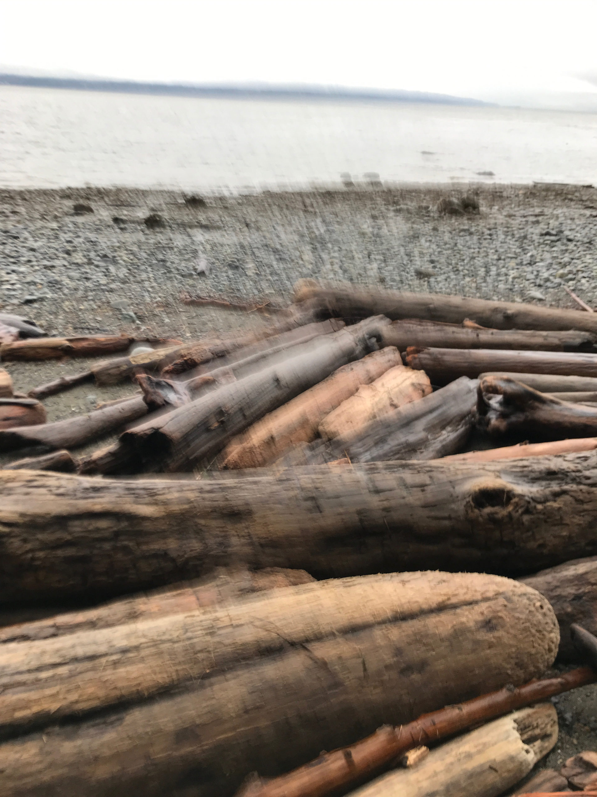
Panorama Photo
Latitude: 48.1699187262
Longitude: -122.475303216
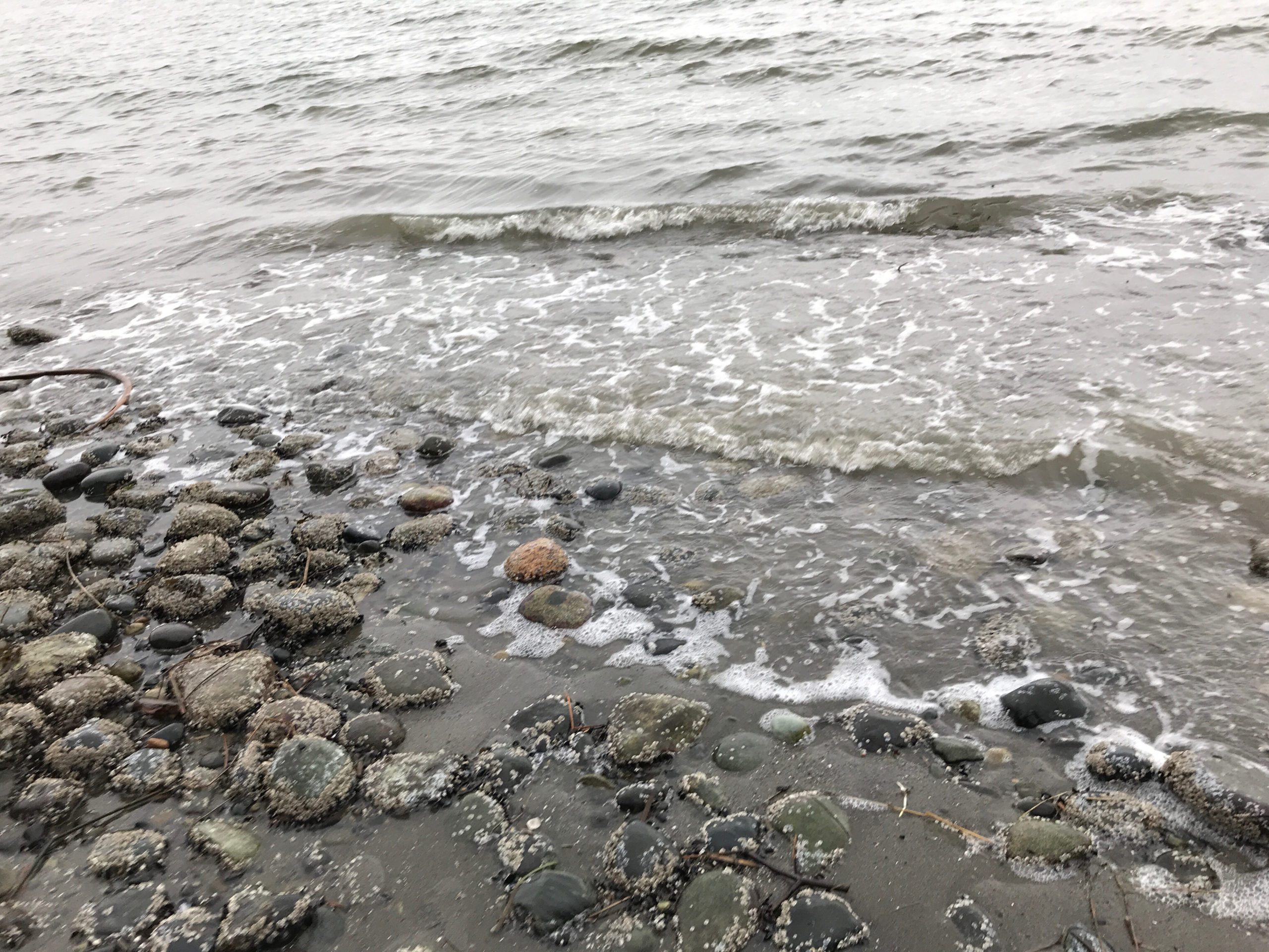
Waterline Photo
Latitude: 48.1698525092
Longitude: -122.474877499
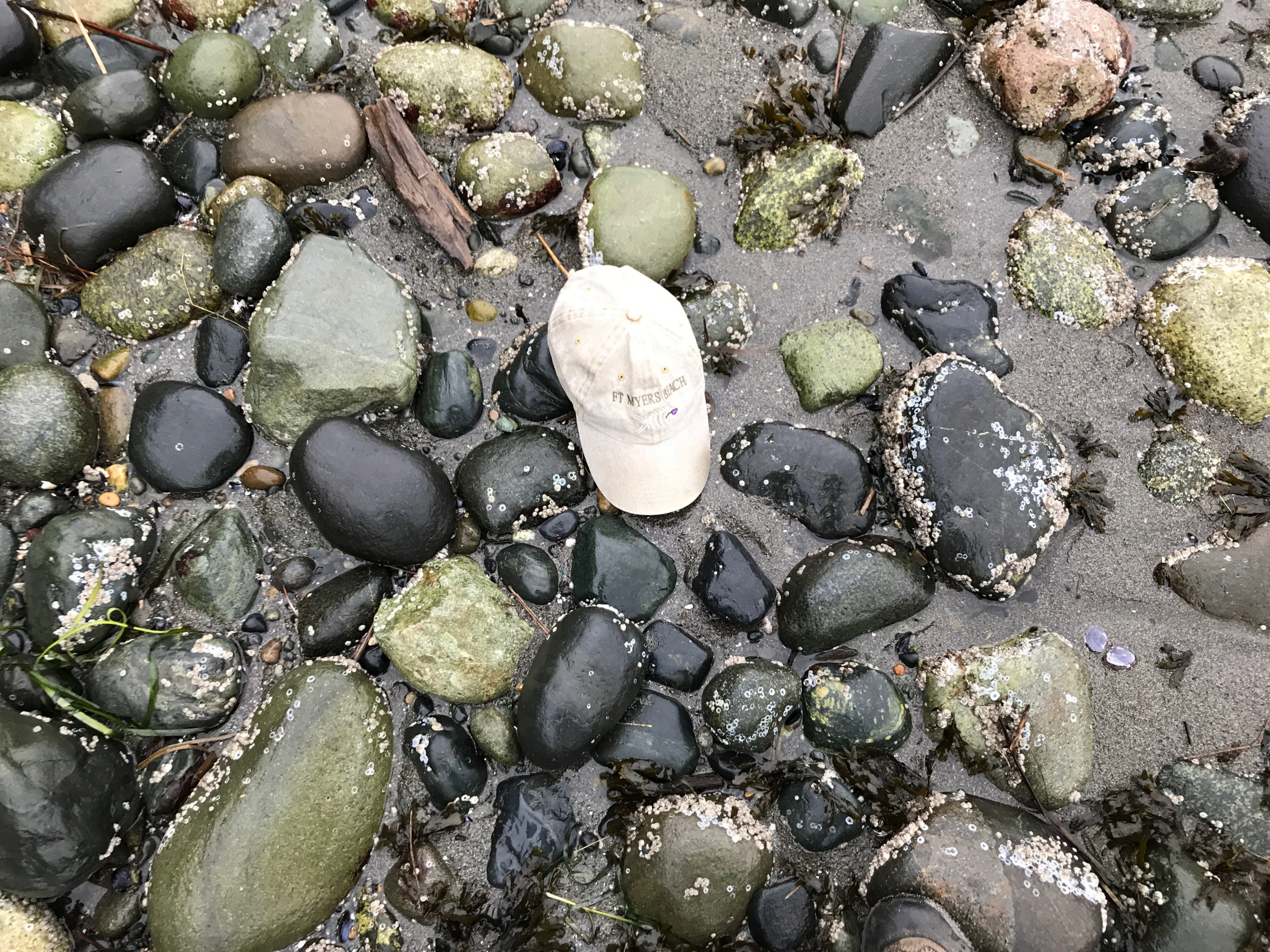
Wave Height Photo
Latitude: 48.1698525092
Longitude: -122.474877499
Taken from: North
Beach Profile Photo #2
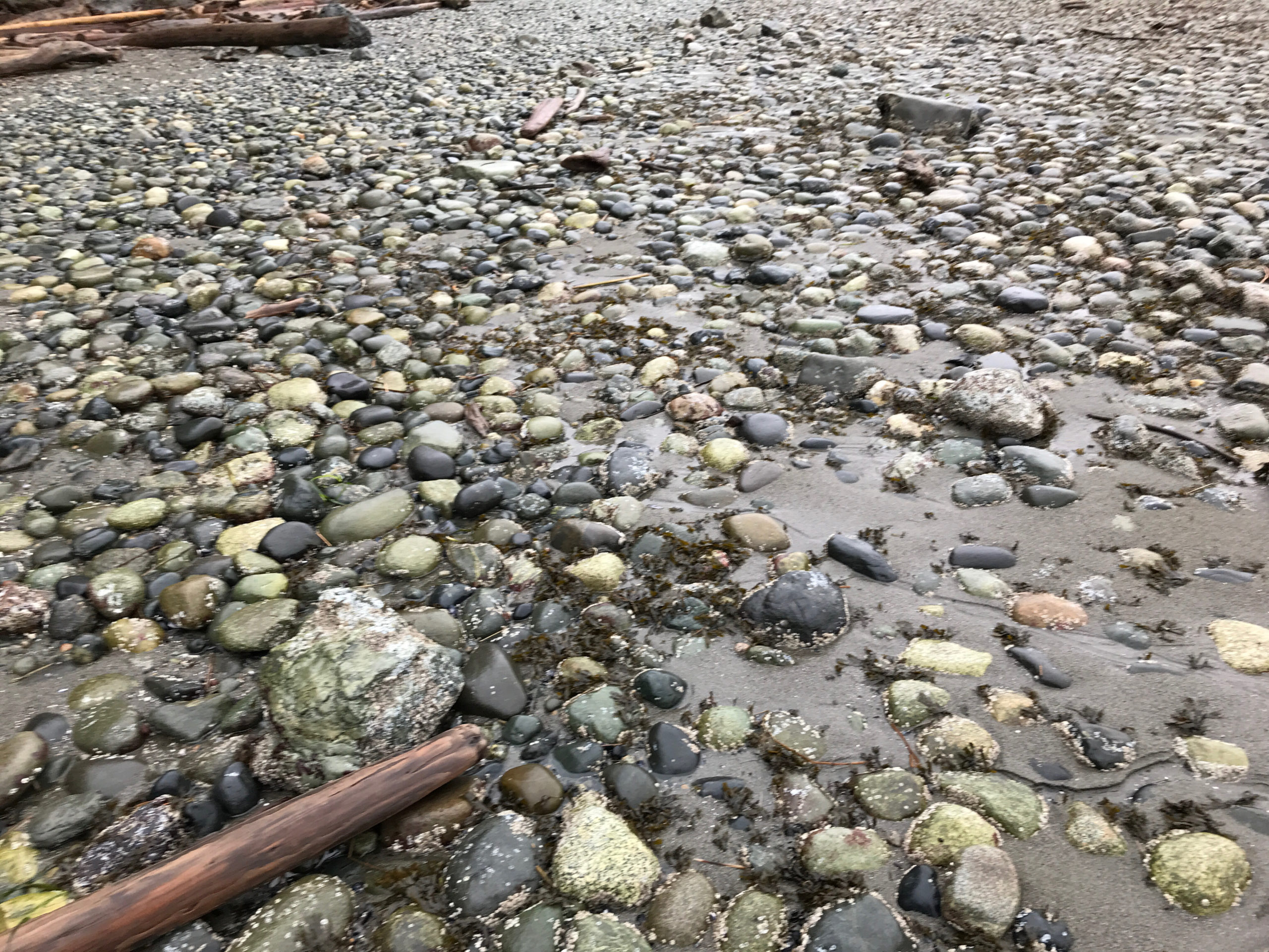
Latitude: 48.1698658364
Longitude: -122.474948745
Taken from: Unspecified
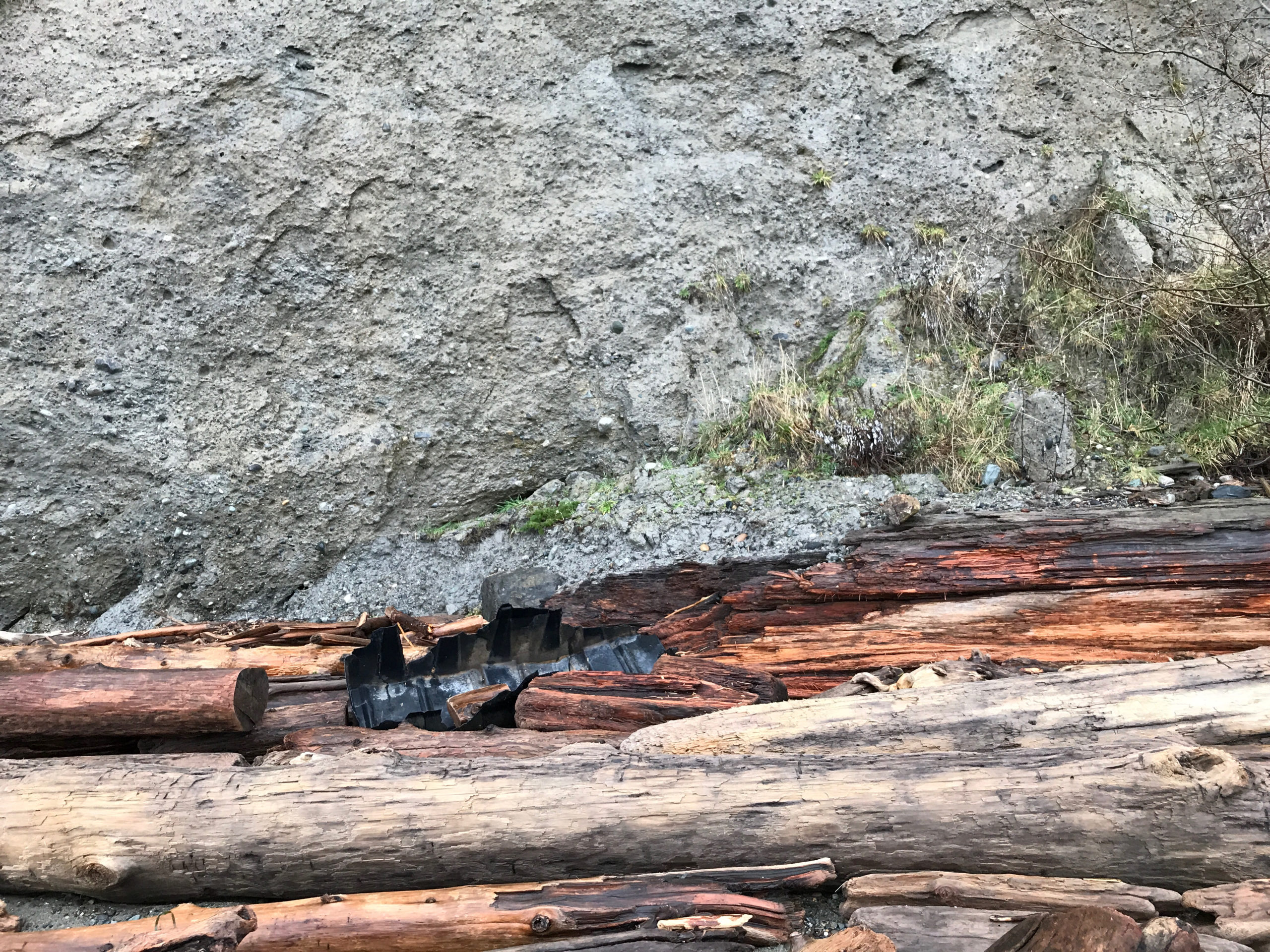
Reference Feature Photo
Latitude: 48.169864202
Longitude: -122.47503927
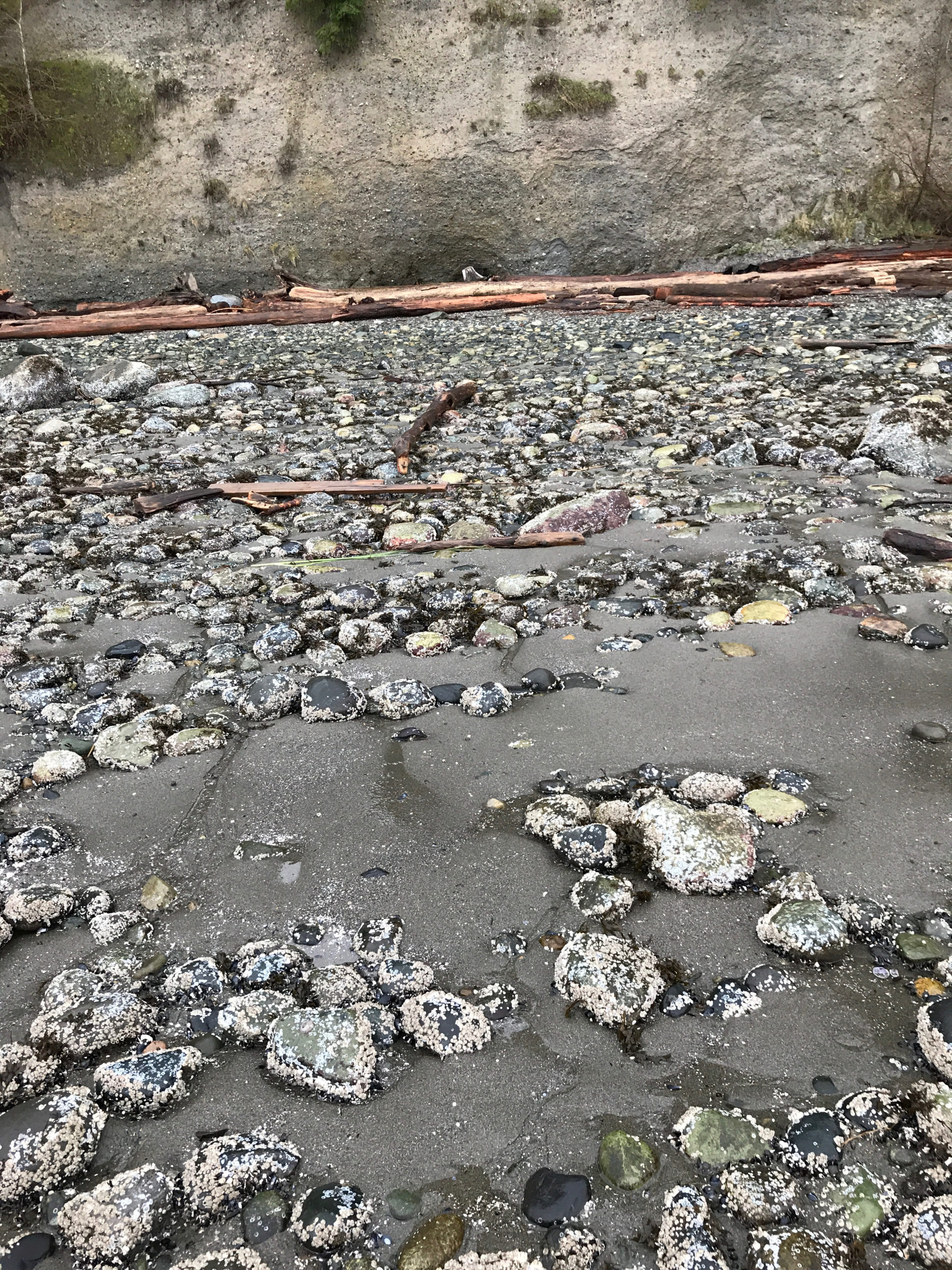
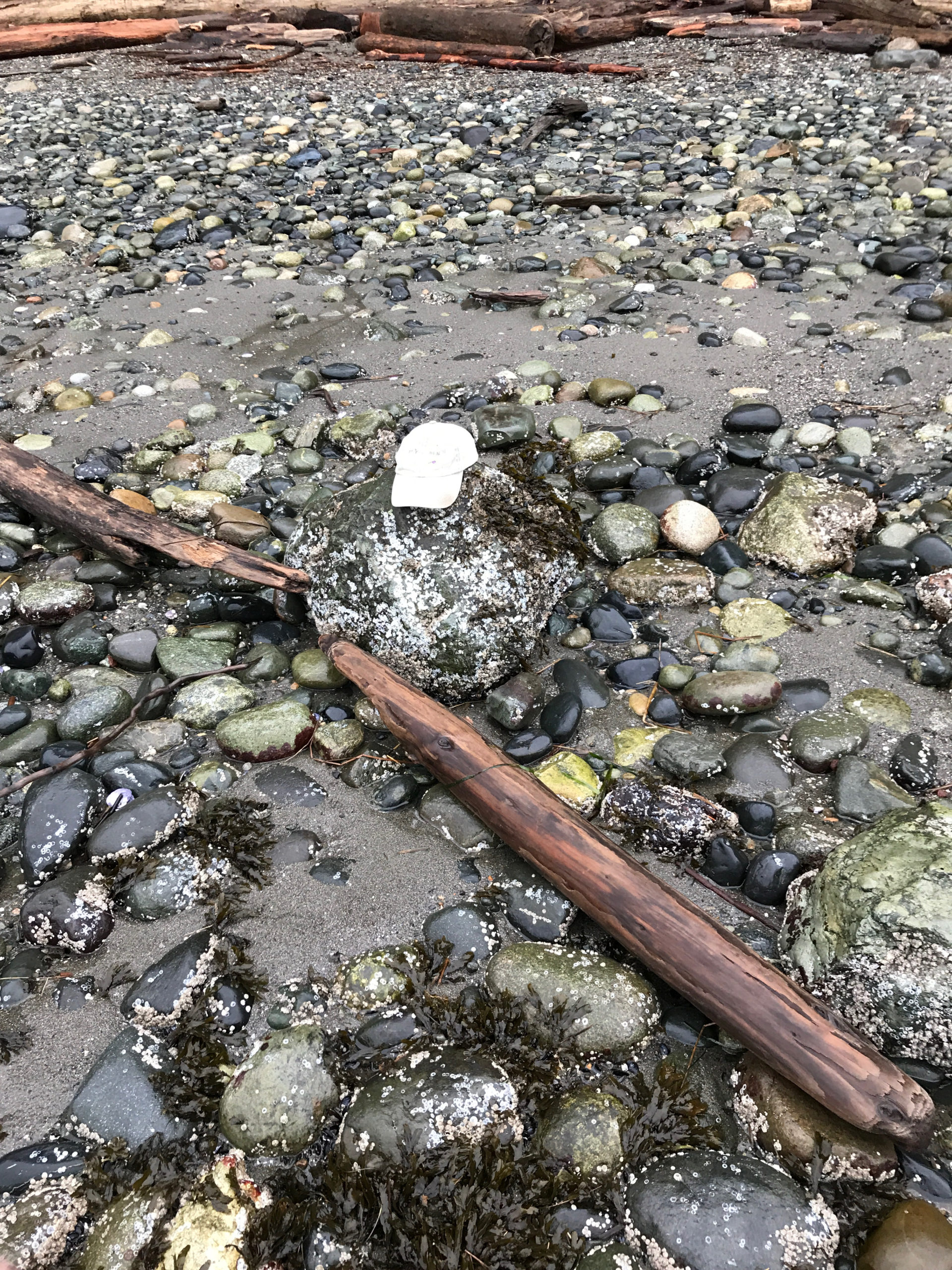
Substrate Photo
Latitude: 48.1699109311
Longitude: -122.475046981
Debris seen:
- Cobbles
- Fine sand
Back Beach Photo
Latitude: 48.1699254318
Longitude: -122.475252422
Signs of a recent slide?: No
Tidal Overview
![]() 6 hours 3 minutes after high tide
6 hours 3 minutes after high tide
Data from Kayak Point (5.7 miles away)
High Tide (Predicted): 9:34 am, 12.1' MLLW
Loading NOAA Tide Data…
■ Observed
■ Predicted water level
⬤ Report time
Weather Overview
Wind Speed: 10.5 MPH
Wind Direction: SE (132°)
Temperature: 44℉
Rainfall (Calendar Day): 0.007"
Rainfall (Past 24 Hours): 0.17"
User-observed Weather:
- Overcast
You must be logged in to post a comment.