Island County
Camano, WA
Storm Surge Report
User Submitted Data
Report type: Pre-storm
Observed weather: Overcast
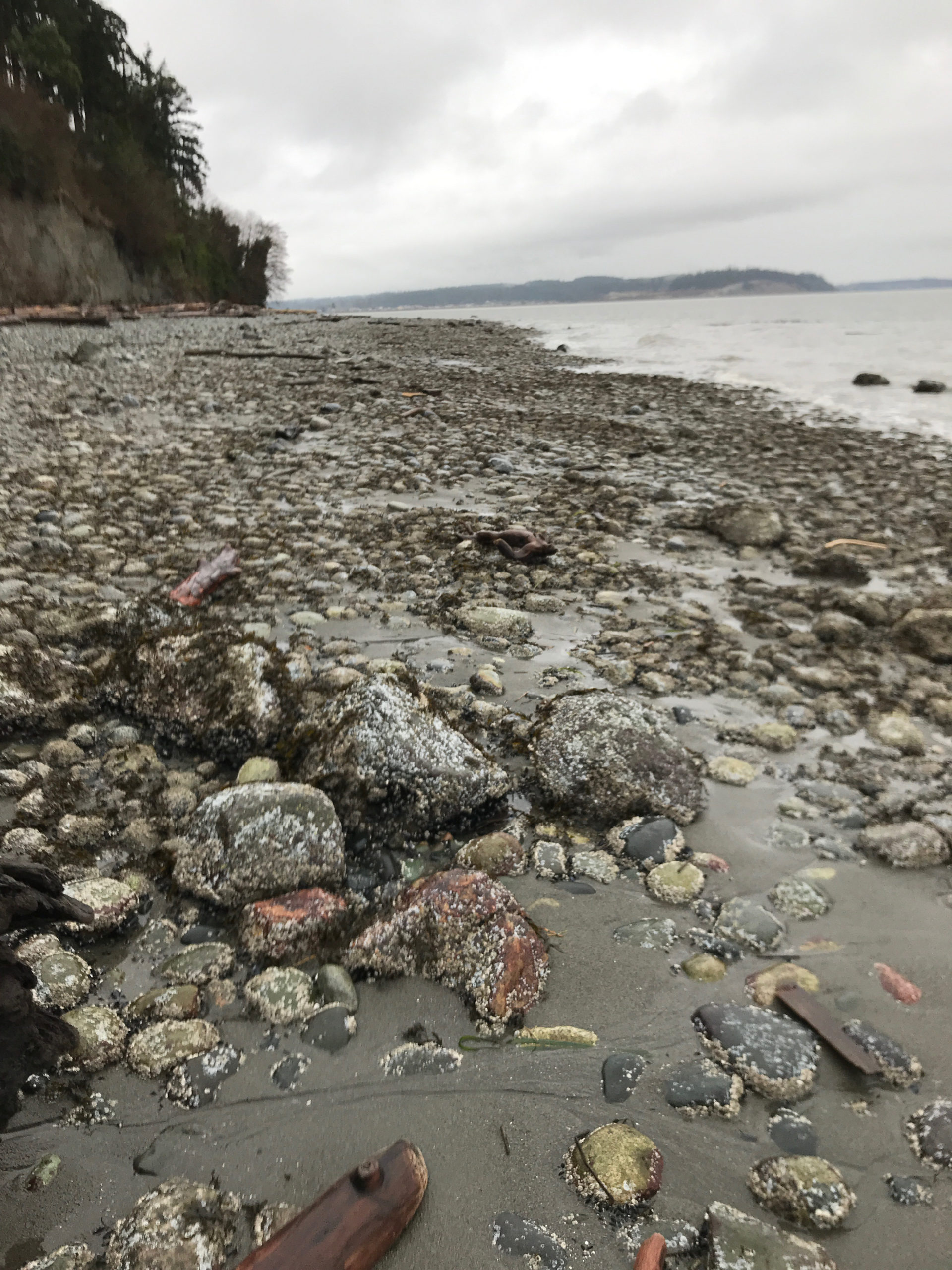
Panorama Photo
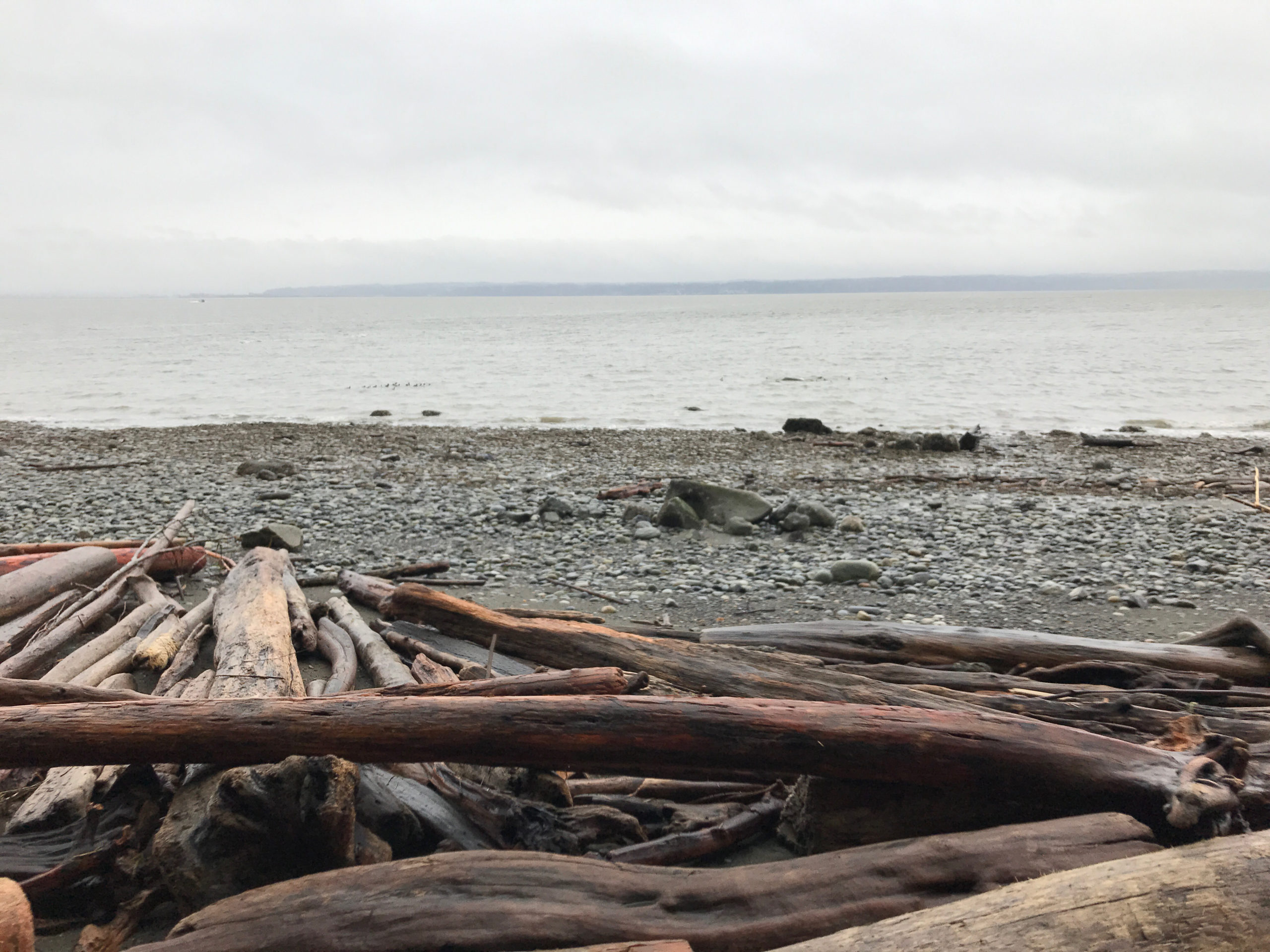
Latitude: 48.1696417463
Longitude: -122.475357112
Waterline Photo
Latitude: 48.1695303089
Longitude: -122.474959977
Wave Height Photo
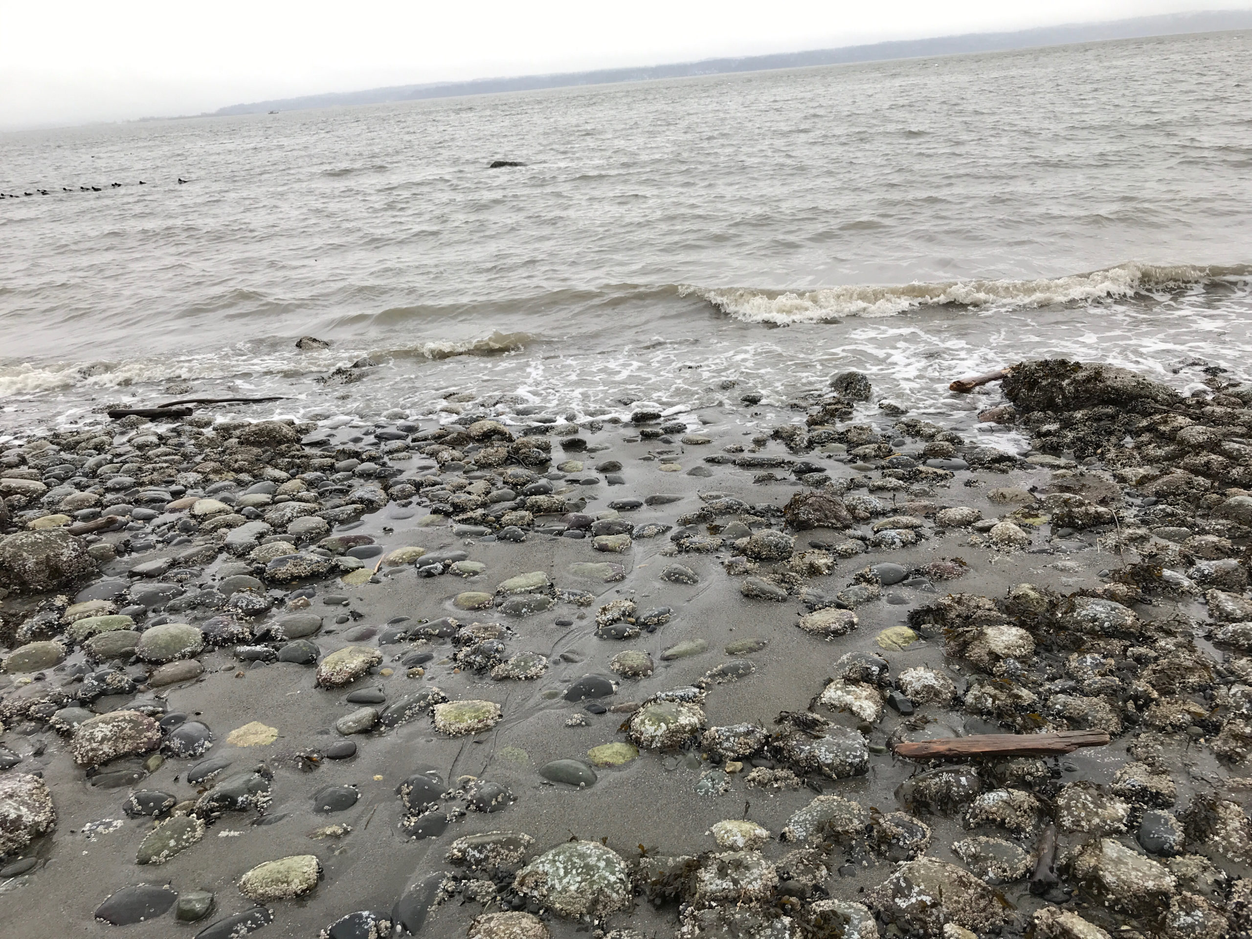
Latitude: 48.1695303089
Longitude: -122.474959977
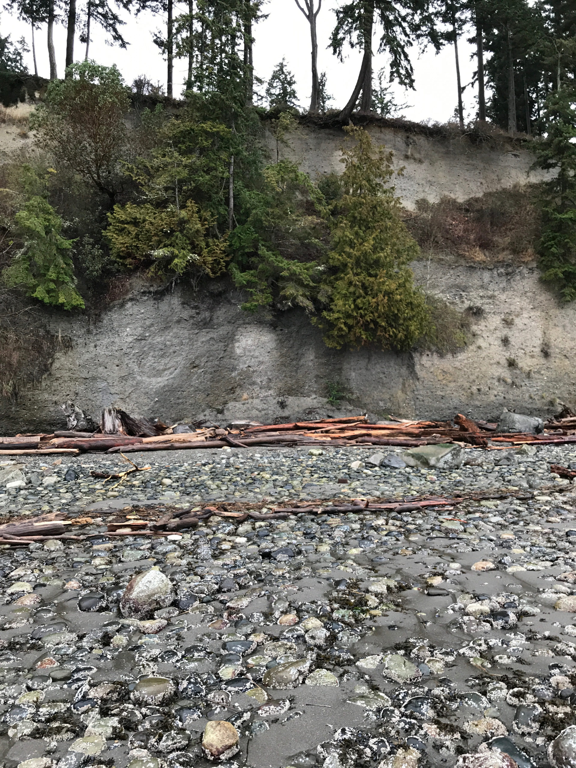
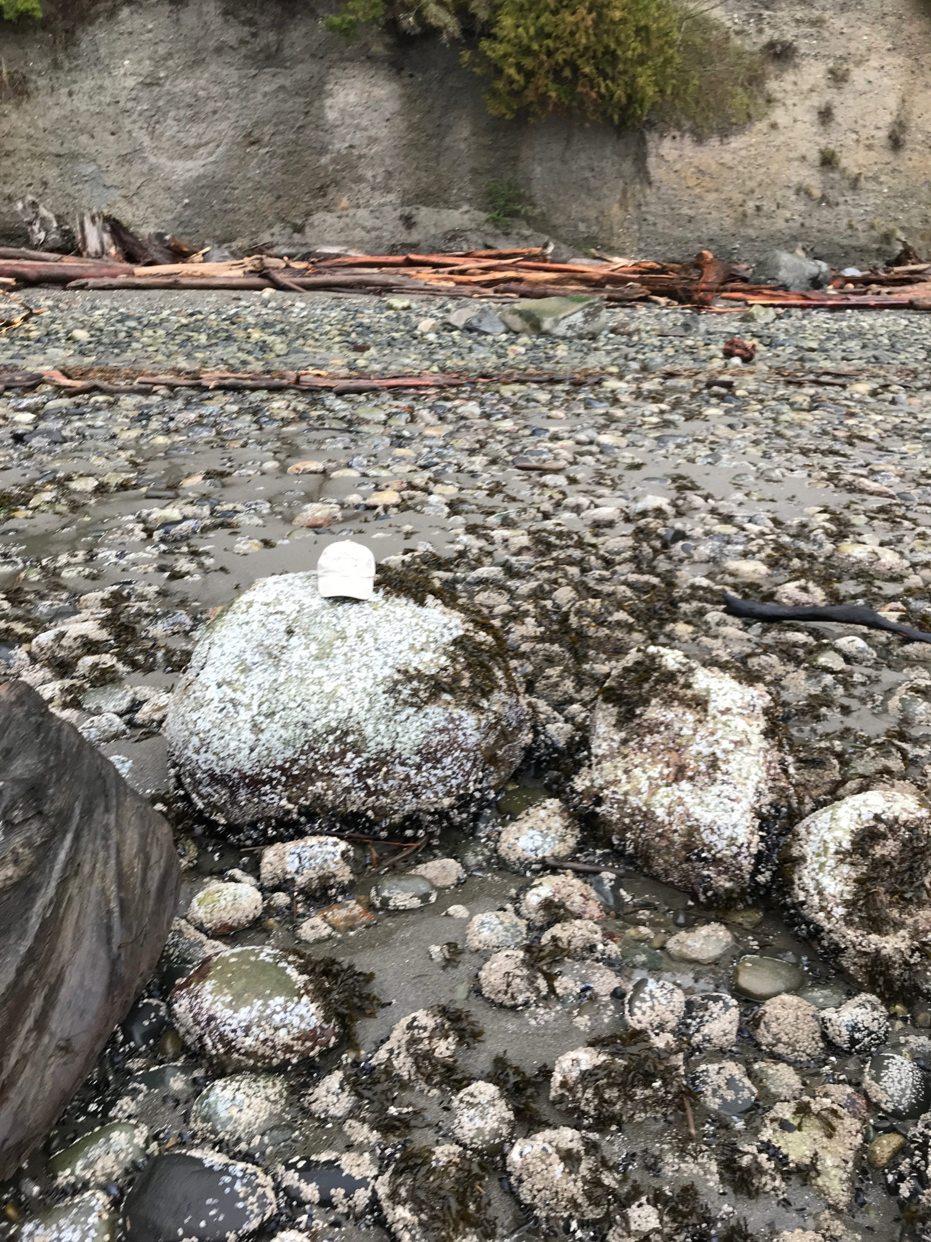
Beach Profile Photo #1
Latitude: 48.1695303089
Longitude: -122.474959977
Taken from: North
Beach Profile Photo #2
Latitude: 48.1695303089
Longitude: -122.474959977
Taken from: North
Reference Feature Photo
Latitude: 48.1695520599
Longitude: -122.474943884
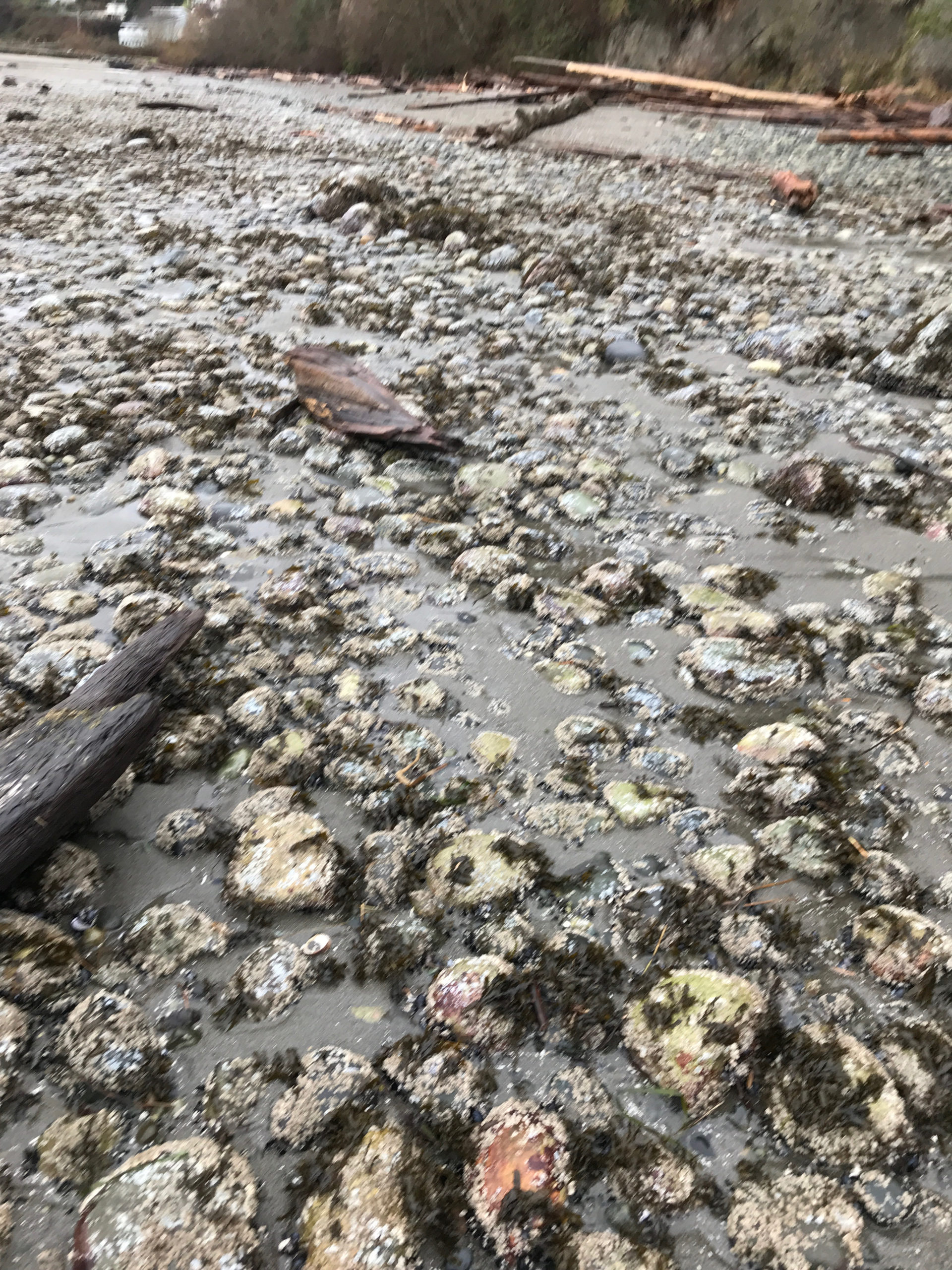
Substrate Photo
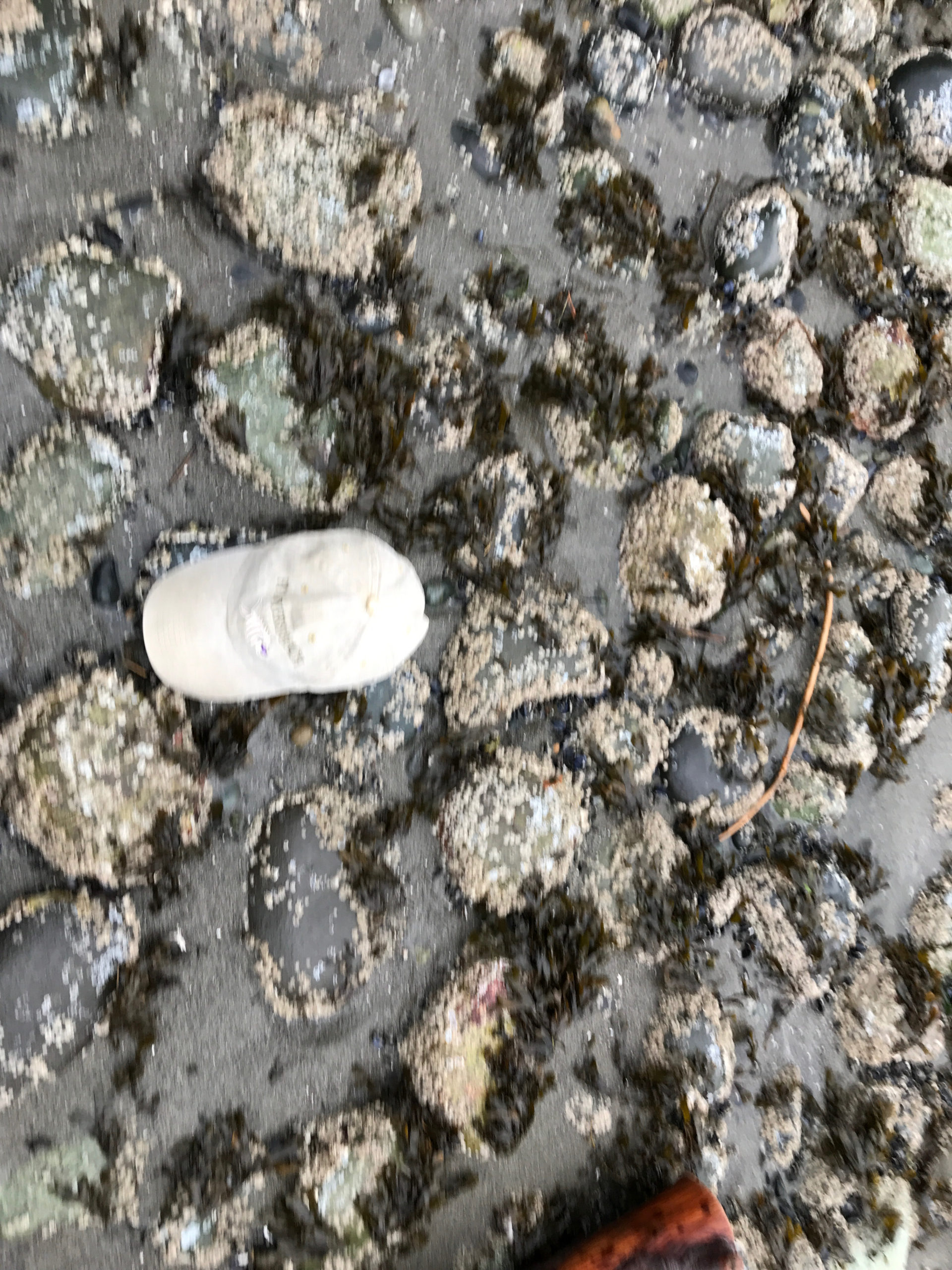
Latitude: 48.1695520599
Longitude: -122.474943884
Debris seen:
- Cobbles
- Coarse sand
Back Beach Photo
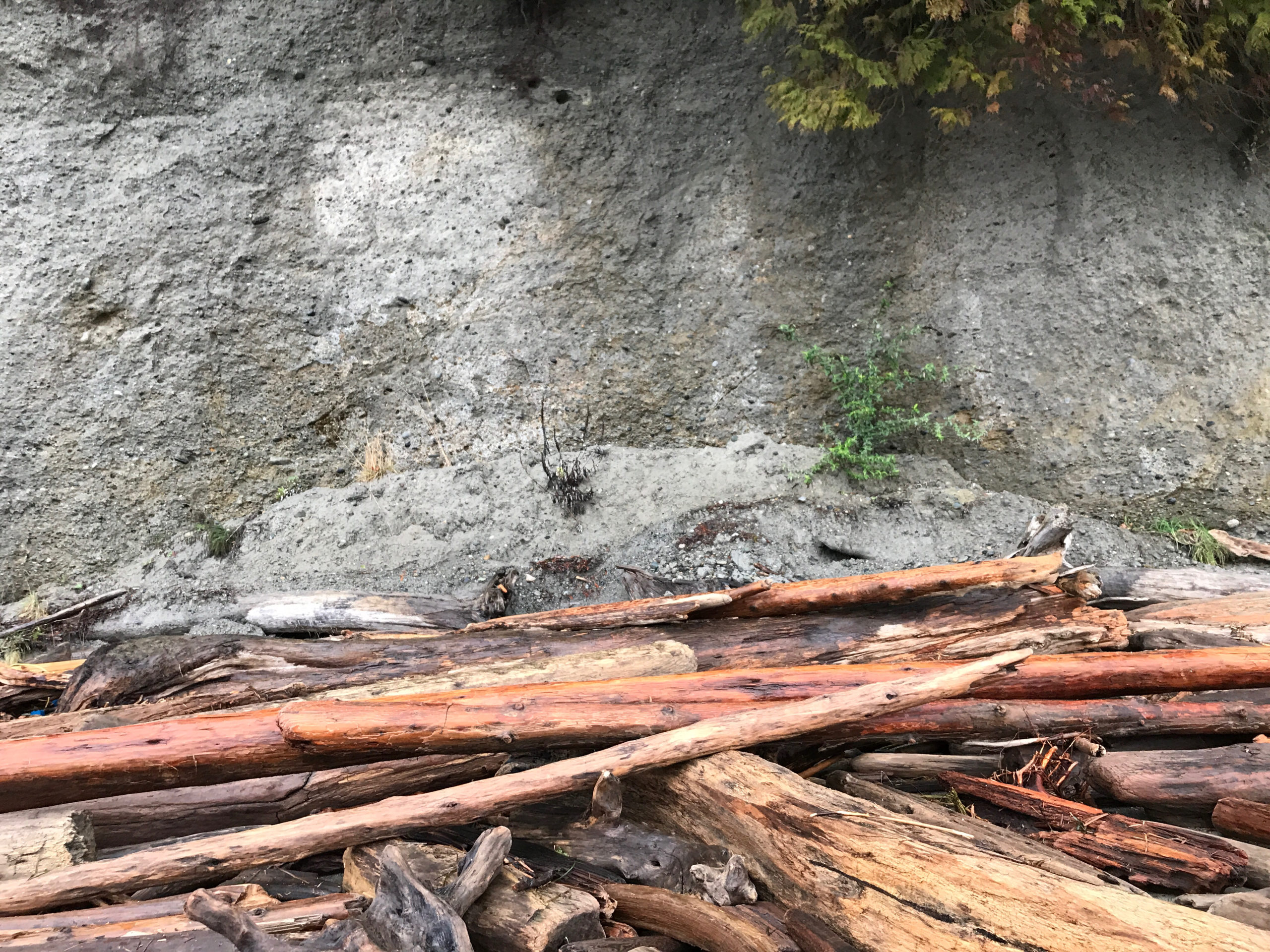
Latitude: 48.1696096017
Longitude: -122.475210009
Signs of a recent slide?: No
Tidal Overview
![]() 5 hours 51 minutes after high tide
5 hours 51 minutes after high tide
Data from Kayak Point (5.7 miles away)
High Tide (Predicted): 9:34 am, 12.1' MLLW
Loading NOAA Tide Data…
Weather Overview
Wind Speed: 11.2 MPH
Wind Direction: SE (141°)
Temperature: 44℉
Rainfall (Calendar Day): 0.024"
Rainfall (Past 24 Hours): 0.15"
User-observed Weather:
- Overcast