
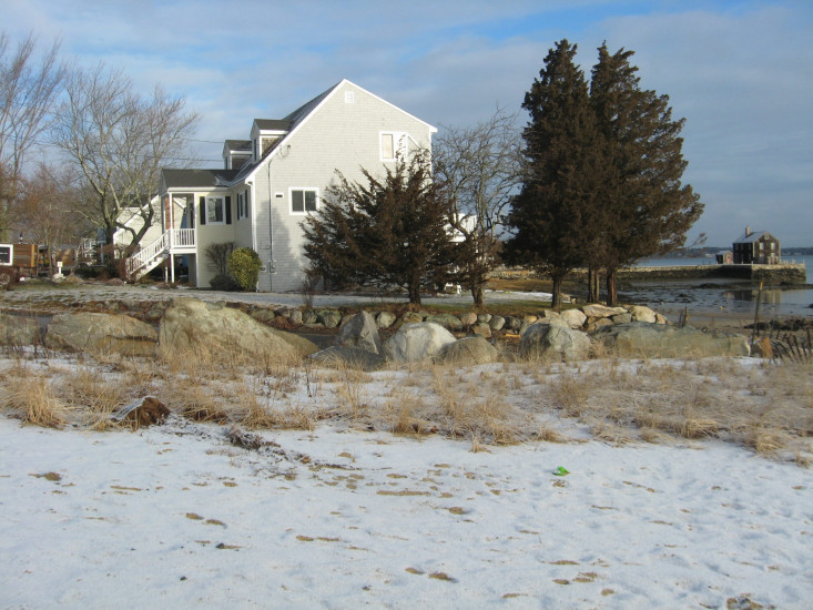
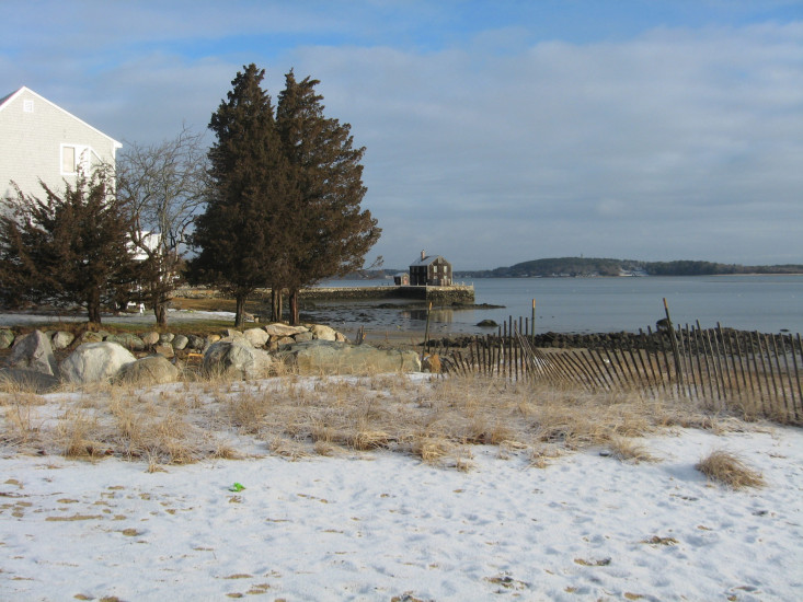
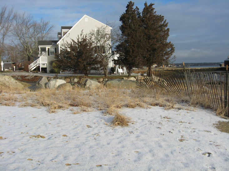
Photo description: GB-NLS-4: Gray's Beach Northern Living Shoreline after February 1-2, 2021 storm event
Coastal resources in/directly adjacent to project footprint:
- dune
- coastal bank
- salt marsh (fronting beach)
Project elevation:
- above mean high water (MHW)
Coastal infrastructure present at site:
- other
Type of other obstruction: Boat ramp and boulders
Site stability:
- stable
Vegetative cover of project area:
- sparse
Dominant vegetative type within project area: grasses
Displaced/unanchored and degraded project materials:
- none
You must be logged in to post a comment.
"GB-NLS-4: Gray's Beach Northern Living Shoreline after February 1-2, 2021 storm event"