
Plymouth County
Kingston, MA

Coastal Resilience Report
User Submitted Data
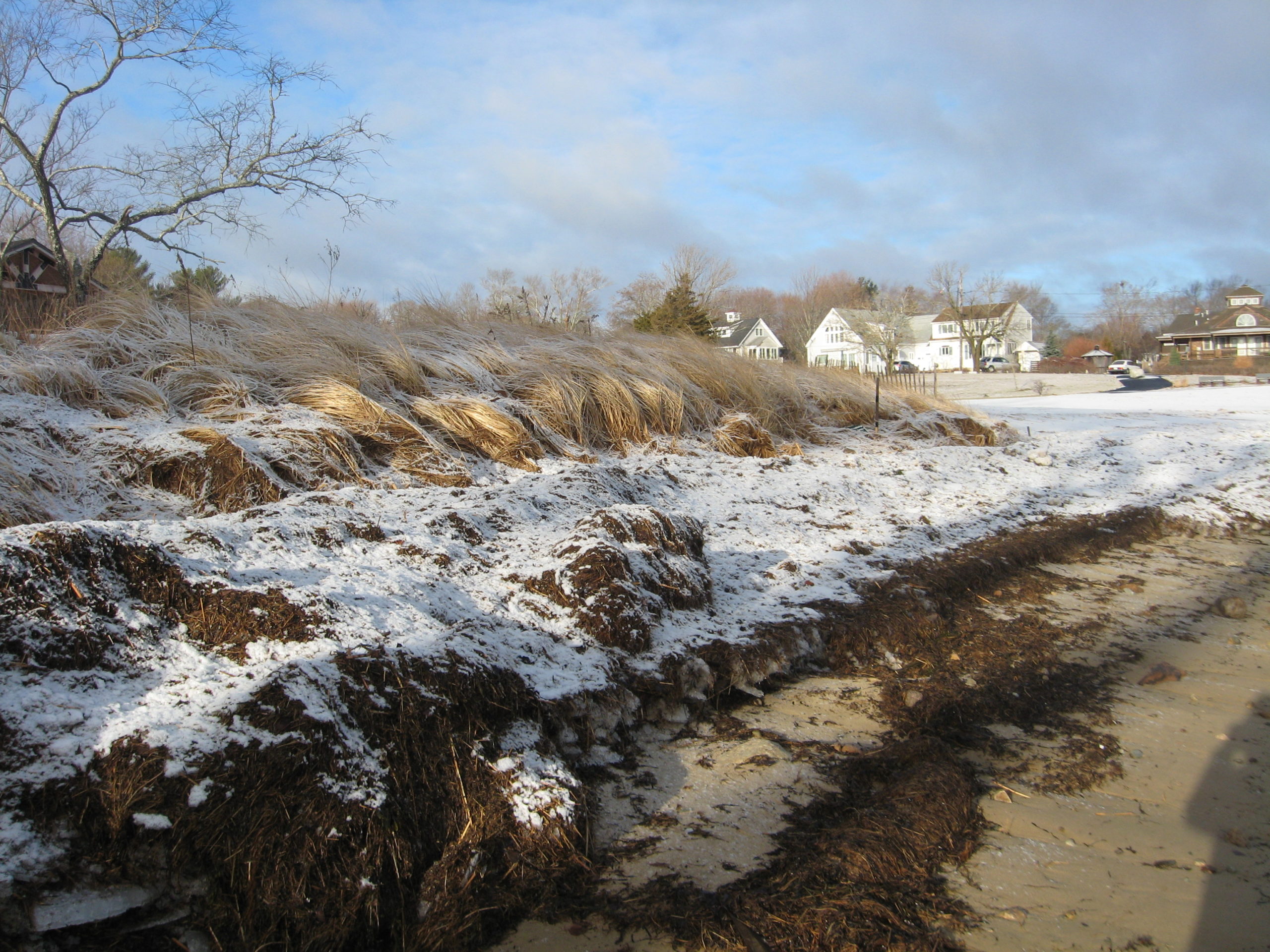
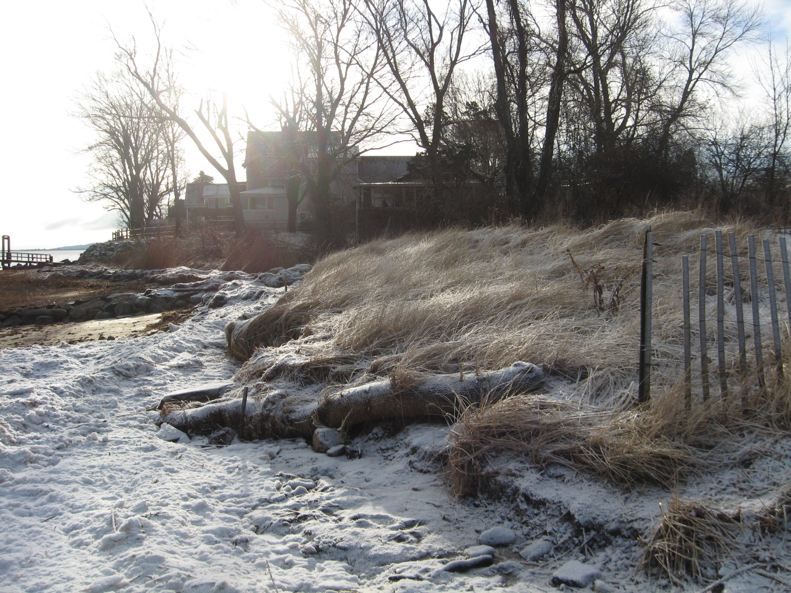
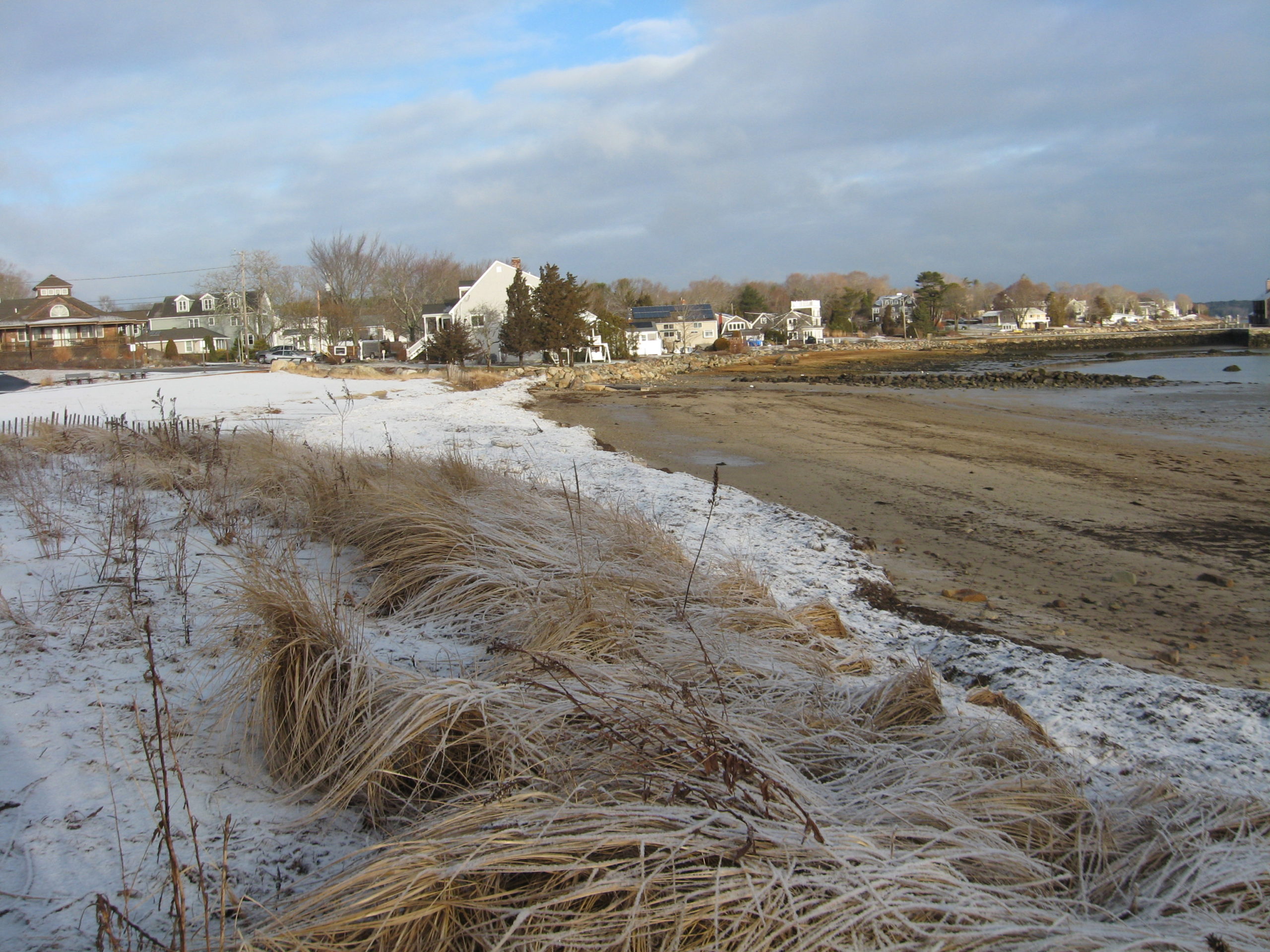
Photo description: GB-SLS-2 Grays Beach Southern Living Shoreline after storm event on February 1-2, 2021
Coastal resources in/directly adjacent to project footprint:
- beach (sandy)
- beach (mixed sediment)
- beach (cobble)
- dune
- salt marsh (fronting beach)
Project elevation:
- between MHW and mean low water (MLW)
Coastal infrastructure present at site:
- other
Type of other obstruction: Stream and boulders along southerly border
Site stability:
- eroding
Vegetative cover of project area:
- sparse
Dominant vegetative type within project area: grasses
Human impacts at project site:
- runoff
Marine-related impacts:
- wrack
- storm damage
Tidal Overview
 4 hours 59 minutes after high tide
Data from Plymouth (2.8 miles away)
High Tide (Predicted): 3:16 am, 10.7' MLLW
Loading NOAA Tide Data…
■ Observed
■ Predicted water level
⬤ Report time
Weather Overview
Wind Speed: 7.4 MPH
Wind Direction: WNW (300°)
Temperature: 30℉
Rainfall (Calendar Day): 0"
Rainfall (Past 24 Hours): 0.21"
You must be logged in to post a comment.
GB-SLS-2 Grays Beach Southern Living Shoreline after storm event on February 1-2, 2021