Nantucket County
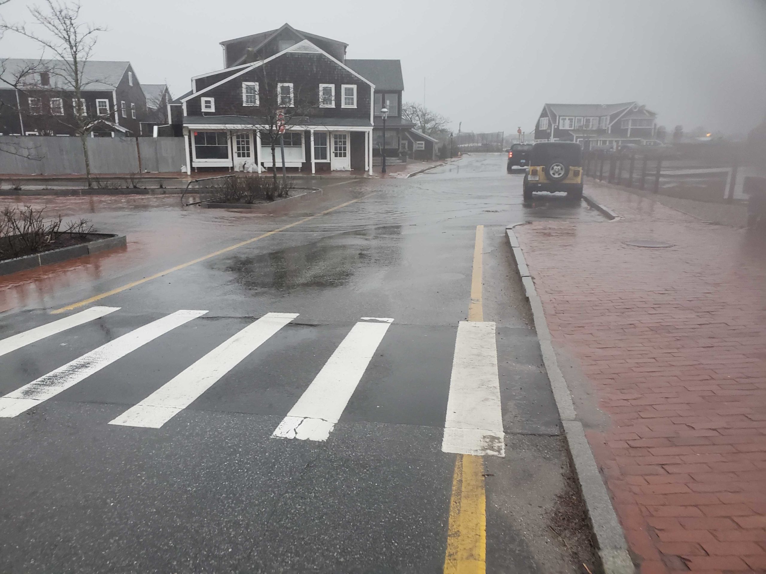
Nantucket, MA
(Easy Street.)
Storm Report
Impacts Reported
User Submitted Data
Roads
Street/Road: Unspecified
Specific Impacts:
- Impacted, but passable
Comments: Almost 2 hours after high tide. Tide remain high, trapped by wind. Flood water on the street has increased, but passable. 5-6 inches
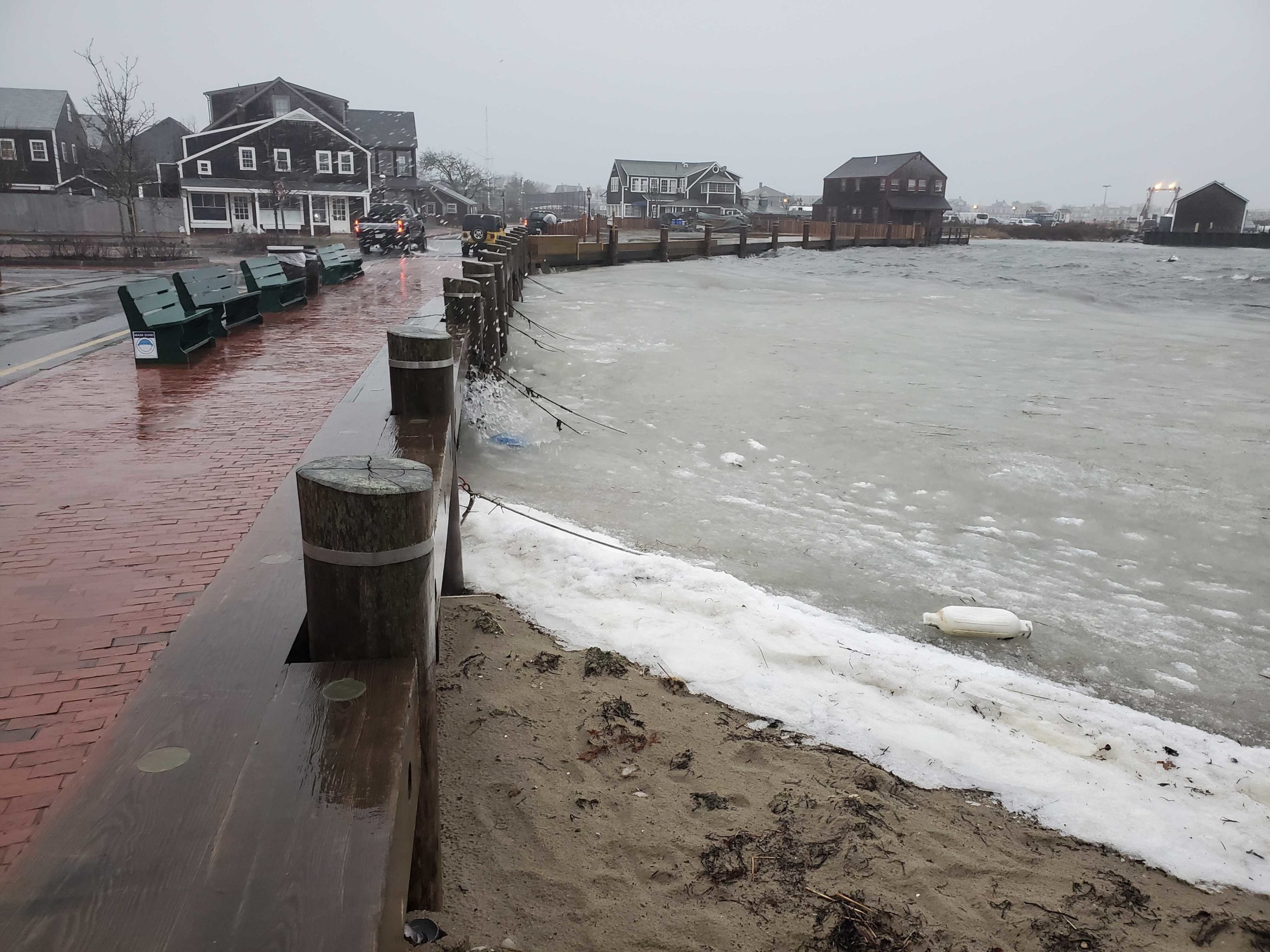
Marinas and Harbors
Buildings
Hazardous Materials
Beach
Coastal Structures
Foot/Cycling Paths
Natural Resources
Current Response
Tidal Overview
![]() 2 hours 18 minutes after high tide
2 hours 18 minutes after high tide
Data from NANTUCKET (0.1 miles away)
Water Level (at time of report): 4:18 pm, 4.7' MLLW
High Tide (Predicted): 2:49 pm, 3.5' MLLW
High Tide (Observed): 2:00 pm, 4.2' MLLW
Loading NOAA Tide Data…
■ Observed
■ Predicted water level
⬤ Report time
Weather Overview
Wind Speed: 27.6 MPH
Wind Direction: ENE (60°)
Temperature: 39℉
Rainfall (Calendar Day): 0.08"
Rainfall (Past 24 Hours): 0.41"
You must be logged in to post a comment.