
Suffolk County
Winthrop, MA

Coastal Resilience Report
User Submitted Data
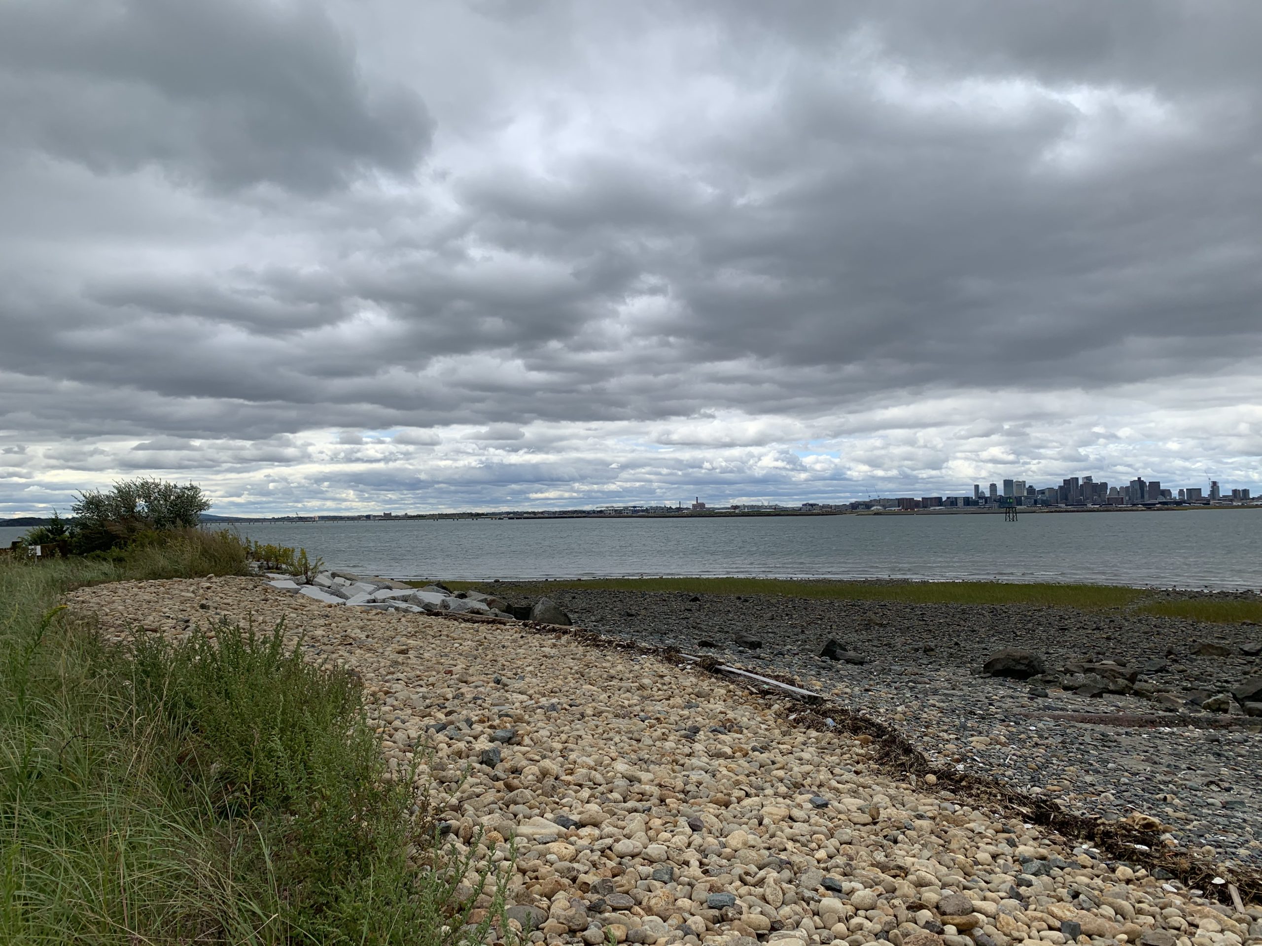
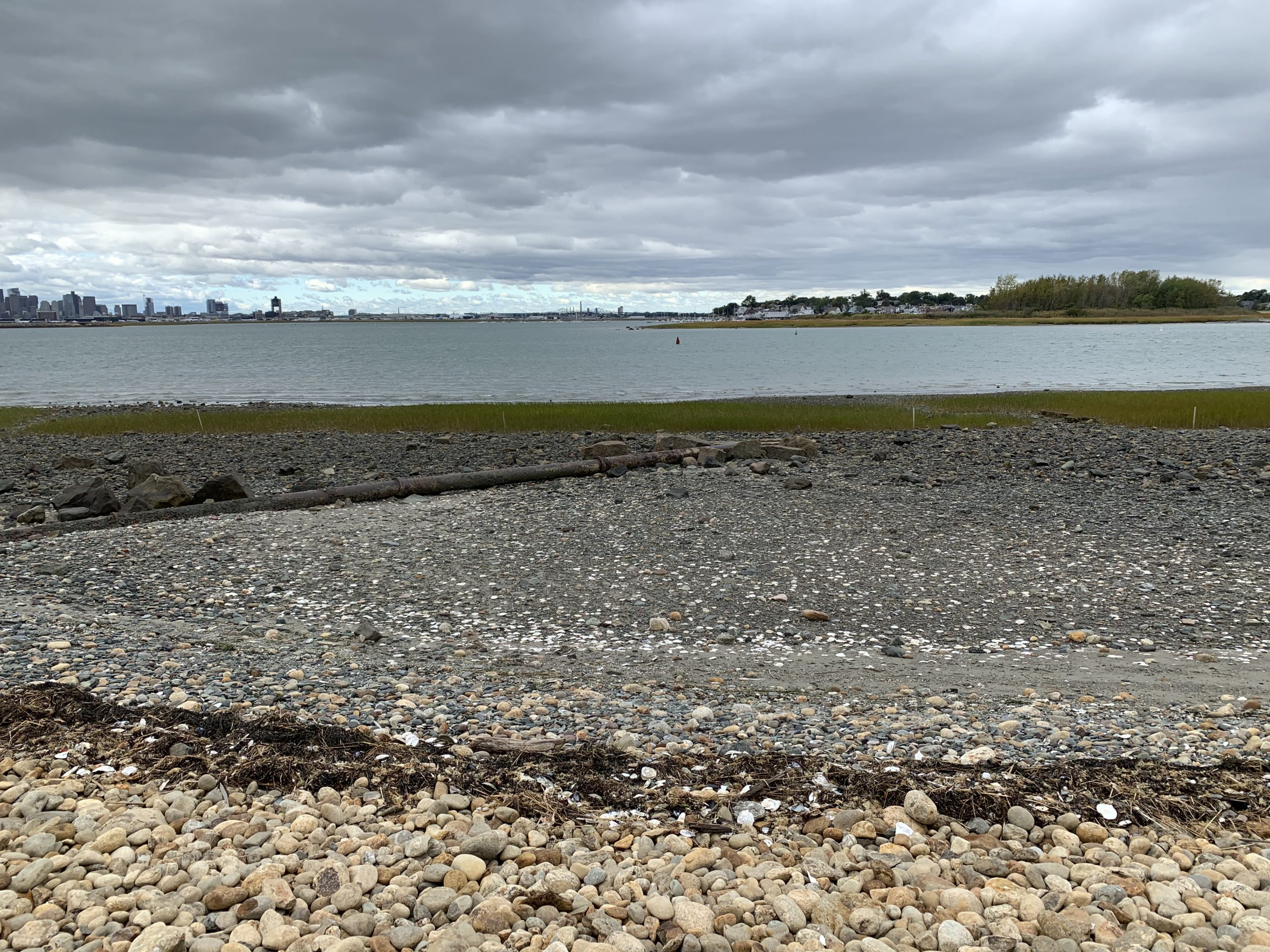
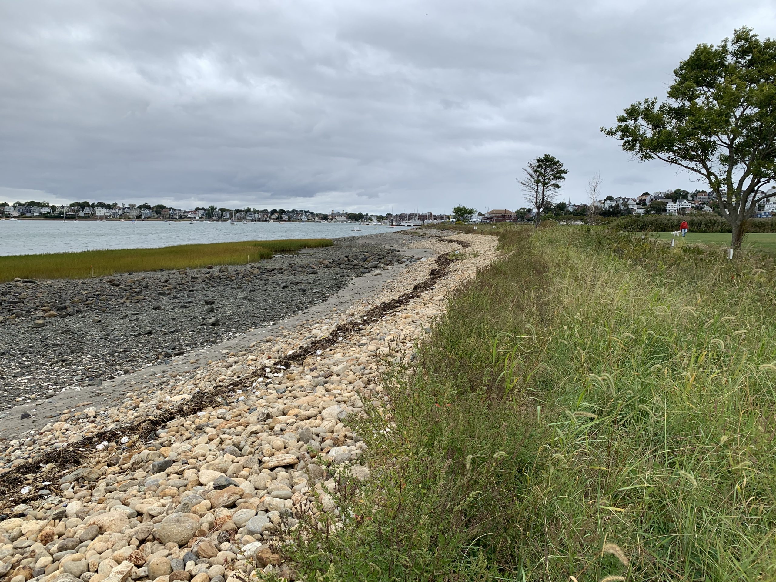
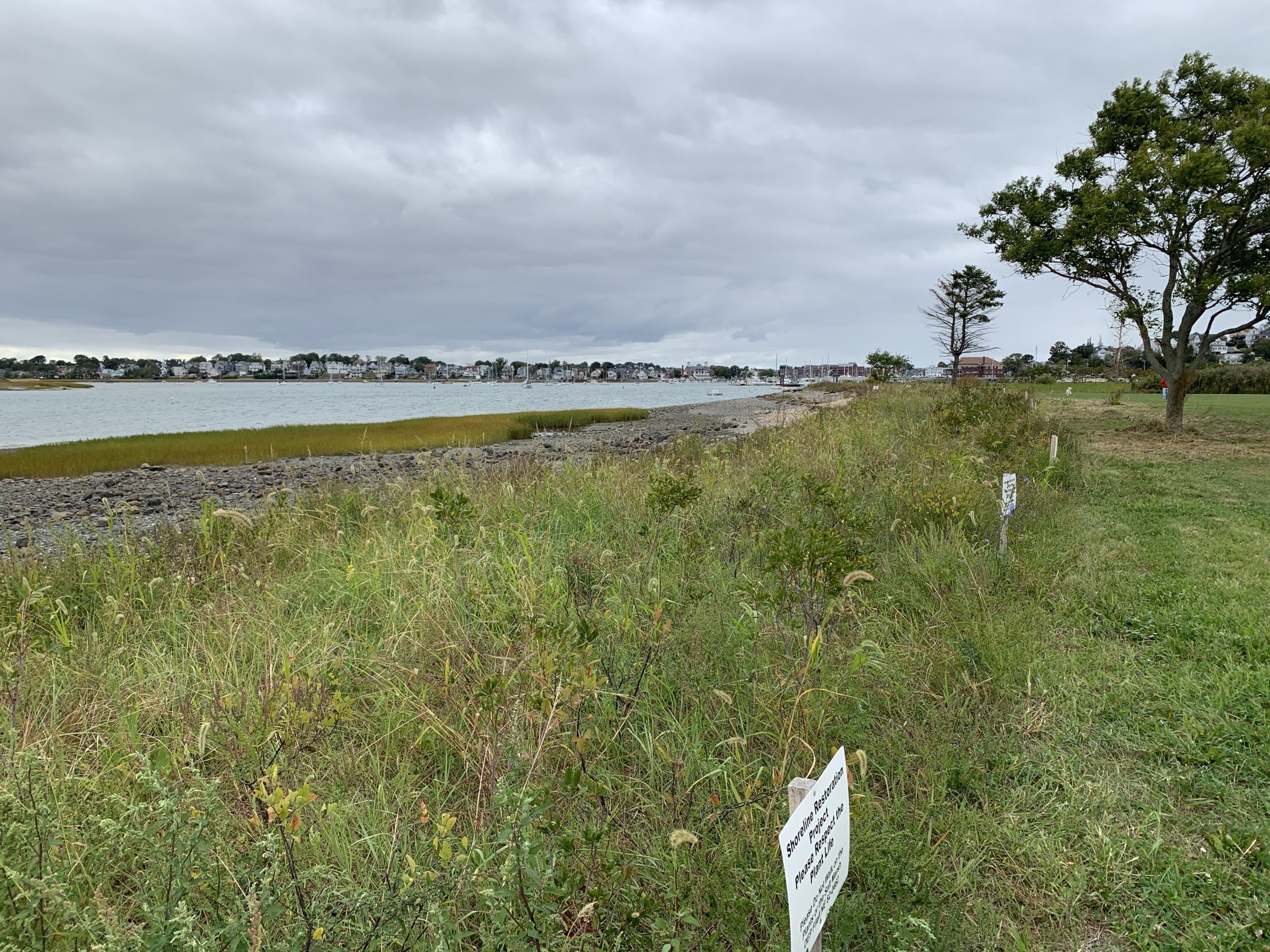
Photo description: Coughlin Park, Winthrop living shoreline
Coastal resources in/directly adjacent to project footprint:
- beach (mixed sediment)
- beach (cobble)
- coastal bank
- salt marsh (fronting beach)
Project elevation:
- above mean high water (MHW)
Coastal infrastructure present at site:
- revetment
Site stability:
- stable
Vegetative cover of project area:
- dense (>75%)
Dominant vegetative type within project area: shrubs
Displaced/unanchored and degraded project materials:
- none
Marine-related impacts:
- wrack
- marine debris
You must be logged in to post a comment.
Coughlin Park, Winthrop living shoreline