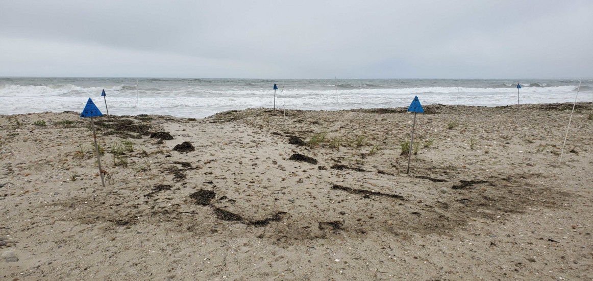
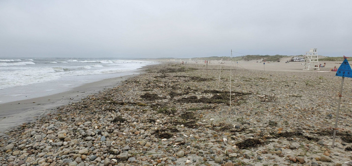
Westport, MA (Horseneck State Beach)

Bristol County

Impacts Reported


Roads

Street/Road: Unspecified

Marinas and Harbors
Buildings
Hazardous Materials
Beach

State: Accessible

Coastal Structures
Natural Resources

Specific Impacts:

  • Eroded beach
  • Overwashed beach/dune

Current Response

08/05/2020 | 10:15 am

Tidal Overview

0 hours 24 minutes after high tide

Data from Round Hill Point (7.1 miles away)

High Tide (Predicted): 9:51 am, 3.8'

Observed Predicted water level Report time

Weather Overview

Wind Speed: 7.5 MPH

Wind Direction: S (189°)

Temperature: 80℉

Rainfall (Calendar Day): 0"

Rainfall (Past 24 Hours): 0.07"

(Click here for full weather details)


You must be logged in to post a comment.