
Roads
Street/Road: Unspecified
Marinas and Harbors
Buildings
Hazardous Materials
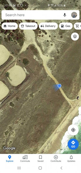
Beach
State: Y
Comments: Eroded about 30-40 feet in this event. Eroded about 40 pr more feet last September approx.
Coastal Structures
Natural Resources
Specific Impacts:
- Eroded beach
- Eroded dune
- Eroded bank/bluff
Current Response
You must be logged in to post a comment.