Essex County
Salem, MA
Coastal Resilience Report
User Submitted Data
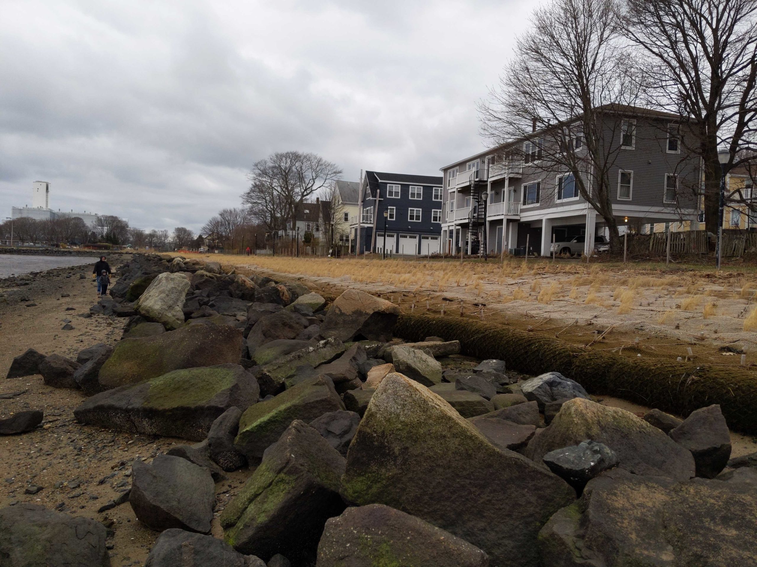
Coastal resources in/directly adjacent to project footprint:
- beach (sandy)
- coastal bank
- salt marsh (estuarine/protected)
- intertidal (mud)
Project elevation:
- above mean high water (MHW)
- between MHW and mean low water (MLW)
Coastal infrastructure present at site:
- other
Type of other obstruction: rock sill
Site stability:
- stable
Vegetative cover of project area:
- sparse
Dominant vegetative type within project area: grasses
Displaced/unanchored and degraded project materials:
- none
Tidal Overview
![]() 4 hours 38 minutes after high tide
4 hours 38 minutes after high tide
Data from Salem, Salem Harbor (0.6 miles away)
High Tide (Predicted): 12:59 pm, 8.9' MLLW
Loading NOAA Tide Data…
■ Observed
■ Predicted water level
⬤ Report time
Weather Overview
Wind Speed: 9.8 MPH
Wind Direction: ENE (69°)
Temperature: 41℉
Rainfall (Calendar Day): 0"
Rainfall (Past 24 Hours): 0"
You must be logged in to post a comment.