Plymouth County
Plymouth, MA
Coastal Resilience Report
User Submitted Data
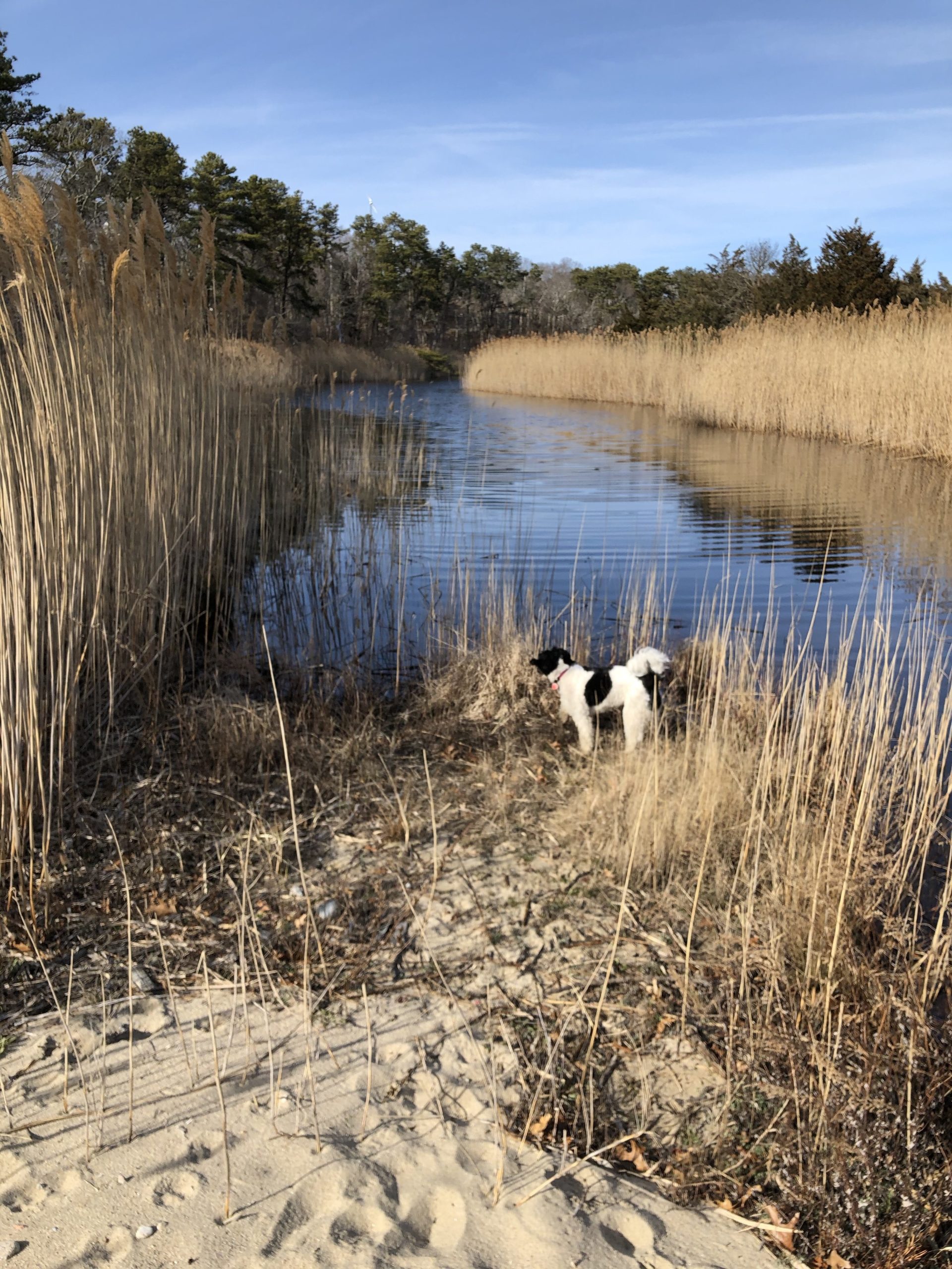
Photo description: Formerly freshwater pond now broken into two by accretion of storm-deposited sand and likely infiltrated by saltwater: looking north toward Boston, from location off Center Hill Beach, Plymouth MA.
Coastal resources in/directly adjacent to project footprint:
- salt marsh (estuarine/protected)
Project elevation:
- above mean high water (MHW)
Coastal infrastructure present at site:
- multi-use path or road
- parking lot
Site stability:
- stable
Vegetative cover of project area:
- dense (>75%)
Dominant vegetative type within project area: grasses
Displaced/unanchored and degraded project materials:
- none
Human impacts at project site:
- runoff
- foot traffic
Tidal Overview
![]() 2 hours 5 minutes before high tide
2 hours 5 minutes before high tide
Data from Cape Cod Canal, Sagamore (5.7 miles away)
High Tide (Predicted): 5:54 pm, 7.6' MLLW
Loading NOAA Tide Data…
Weather Overview
Wind Speed: 8.5 MPH
Wind Direction: NNE (33°)
Temperature: 35℉
Rainfall (Calendar Day): 0"
Rainfall (Past 24 Hours): 0"