
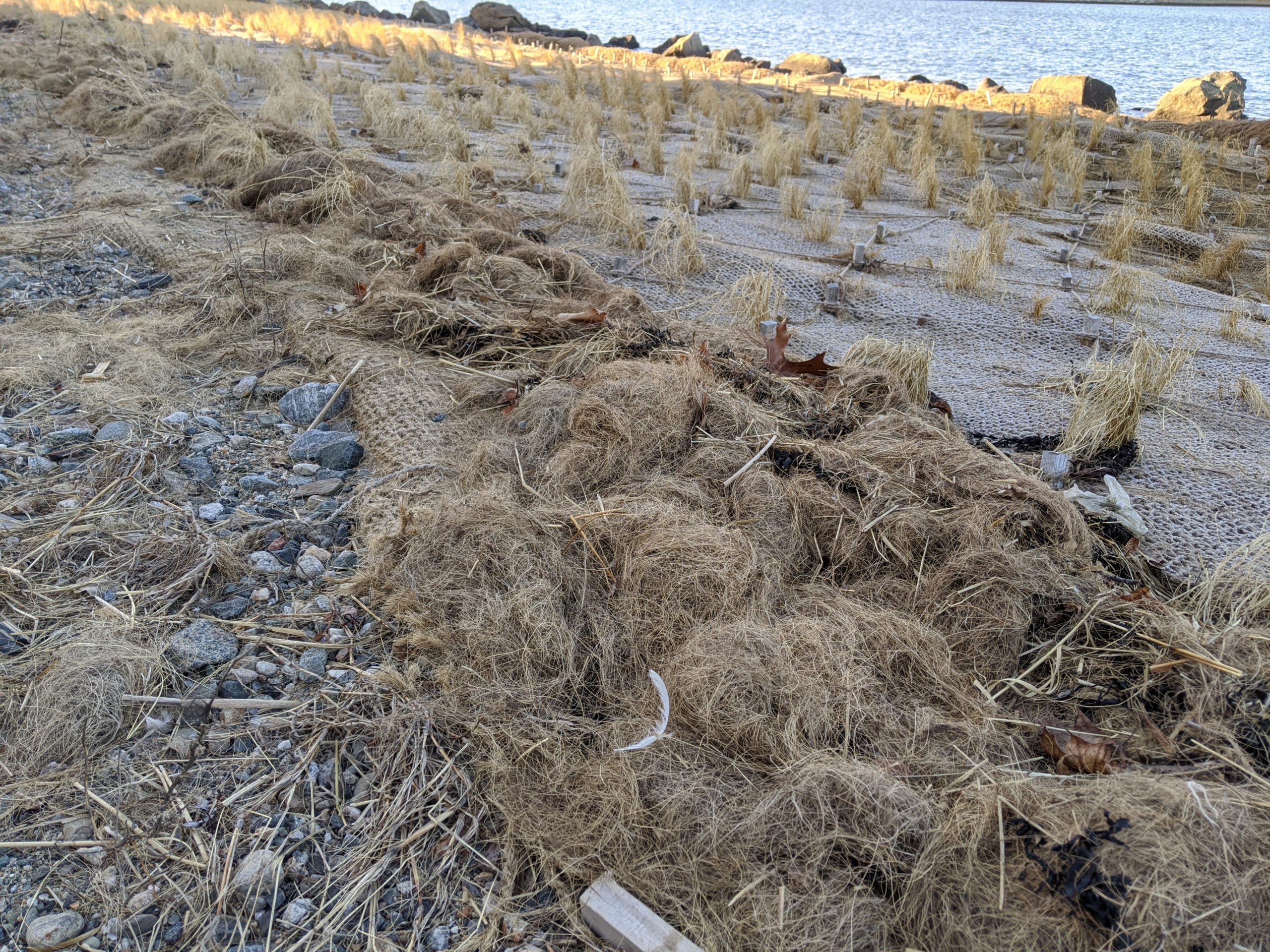


Photo description: loose cables and coir material along upper edge of project
Coastal resources in/directly adjacent to project footprint:
- beach (sandy)
- coastal bank
- salt marsh (estuarine/protected)
- intertidal (mud)
Project elevation:
- above mean high water (MHW)
- between MHW and mean low water (MLW)
Coastal infrastructure present at site:
- multi-use path or road
- other
Type of other obstruction: rock sill
Site stability:
- stable
Vegetative cover of project area:
- sparse
Dominant vegetative type within project area: grasses
Displaced/unanchored and degraded project materials:
- coir rolls
- other
Other displaced/unanchored materials: 4+ loose cables
Marine-related impacts:
- wrack
You must be logged in to post a comment.