dfb30e3291fc0d225ad4c20c41895a4d0635d62c
80c5762ddf81e42f677ce71dabfa8fdc7cd76e88
"Anything else you'd like to add to this report?"
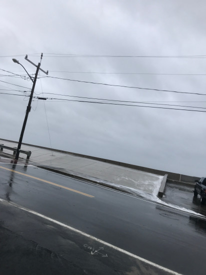
Street/Road: Unspecified
1 hours 49 minutes before high tide
Data from Brant Rock, Green Harbor River (0.7 miles away)
High Tide (Predicted): 10:45 am, 8.8' MLLW
(Click here for full tide details from NOAA Tides & Currents)
Wind Speed: 12 MPH
Wind Direction: NNE (30°)
Temperature: 57℉
Rainfall (Calendar Day): 0.005"
Rainfall (Past 24 Hours): 0.12"
(Click here for full weather details)
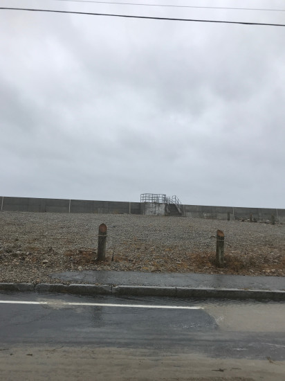
"Anything else you'd like to add to this report?"