Island County
Oak Harbor, WA
Storm Surge Report
User Submitted Data
Report type: Post-storm
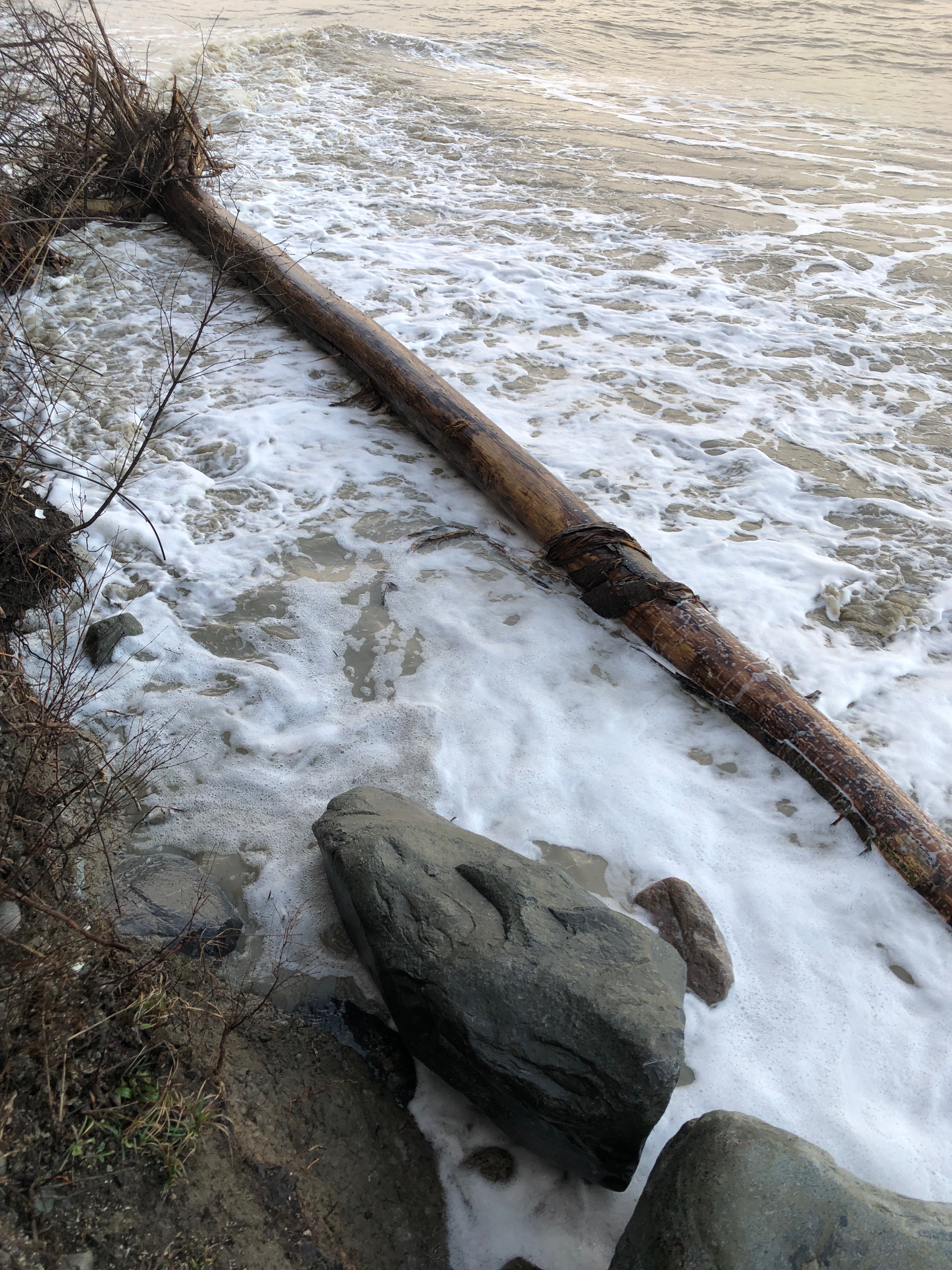
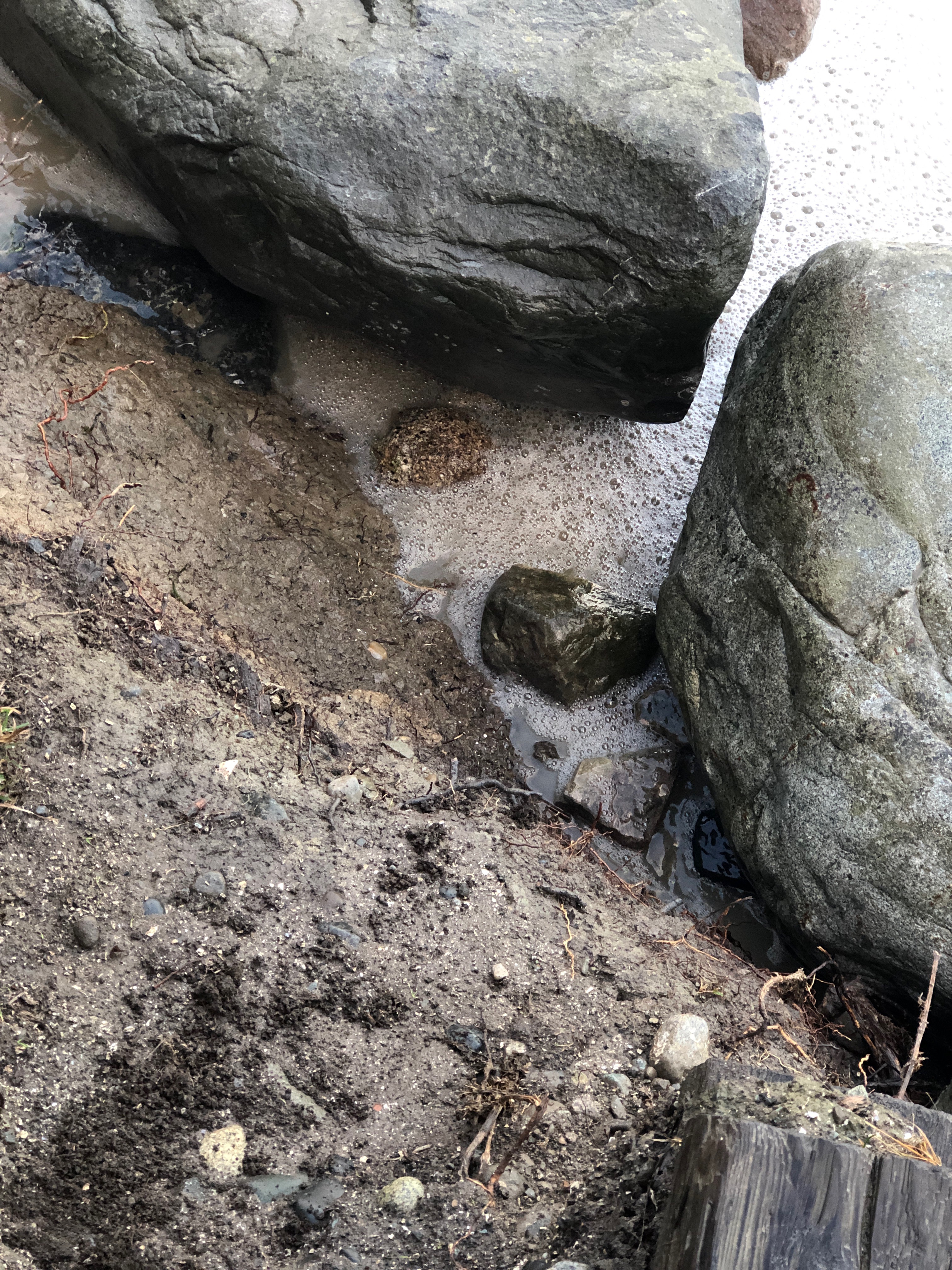
Debris seen:
- Boulders
- Cobbles
- Silt
- Clay
Measurement represents:
- inundation
- debris line
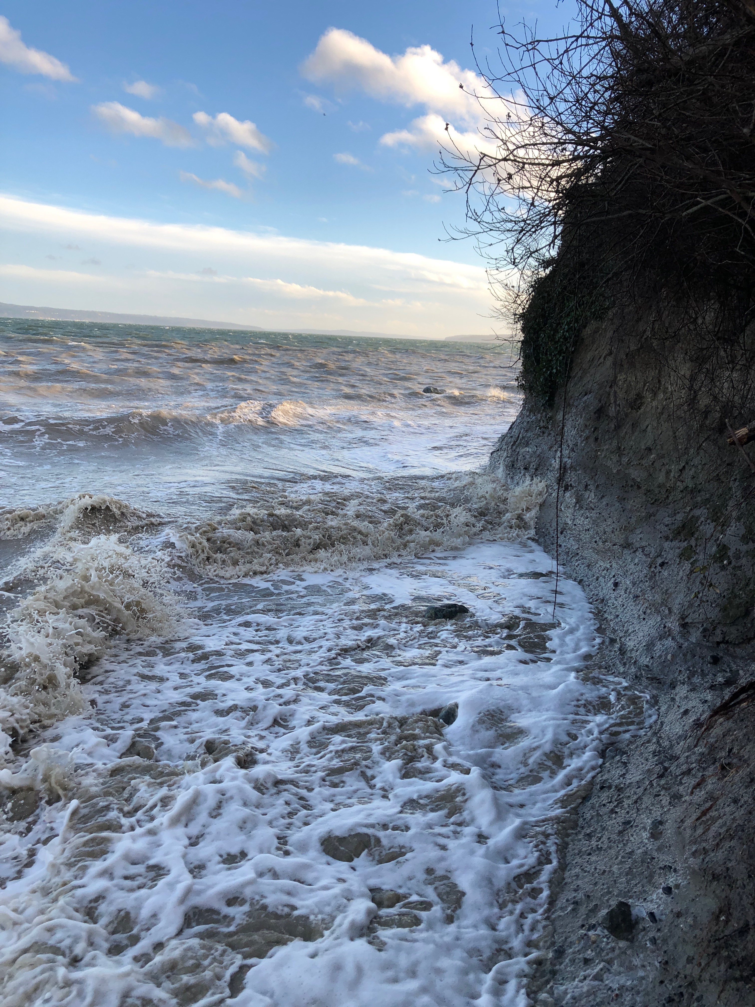
Wave height: 2.5ft
Stake number: 1
Stake Photo
Latitude: 48.2699001137
Longitude: -122.624326723
From Vantage Point
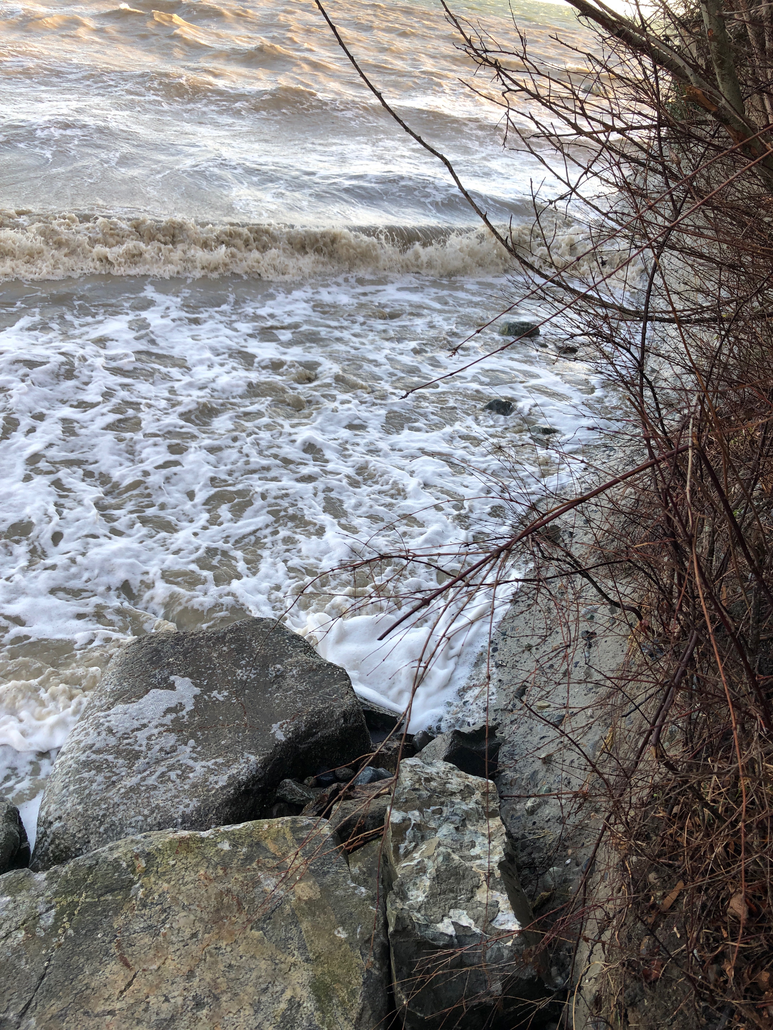
Latitude: 48.2699001137
Longitude: -122.624326723
Beach Profile #1
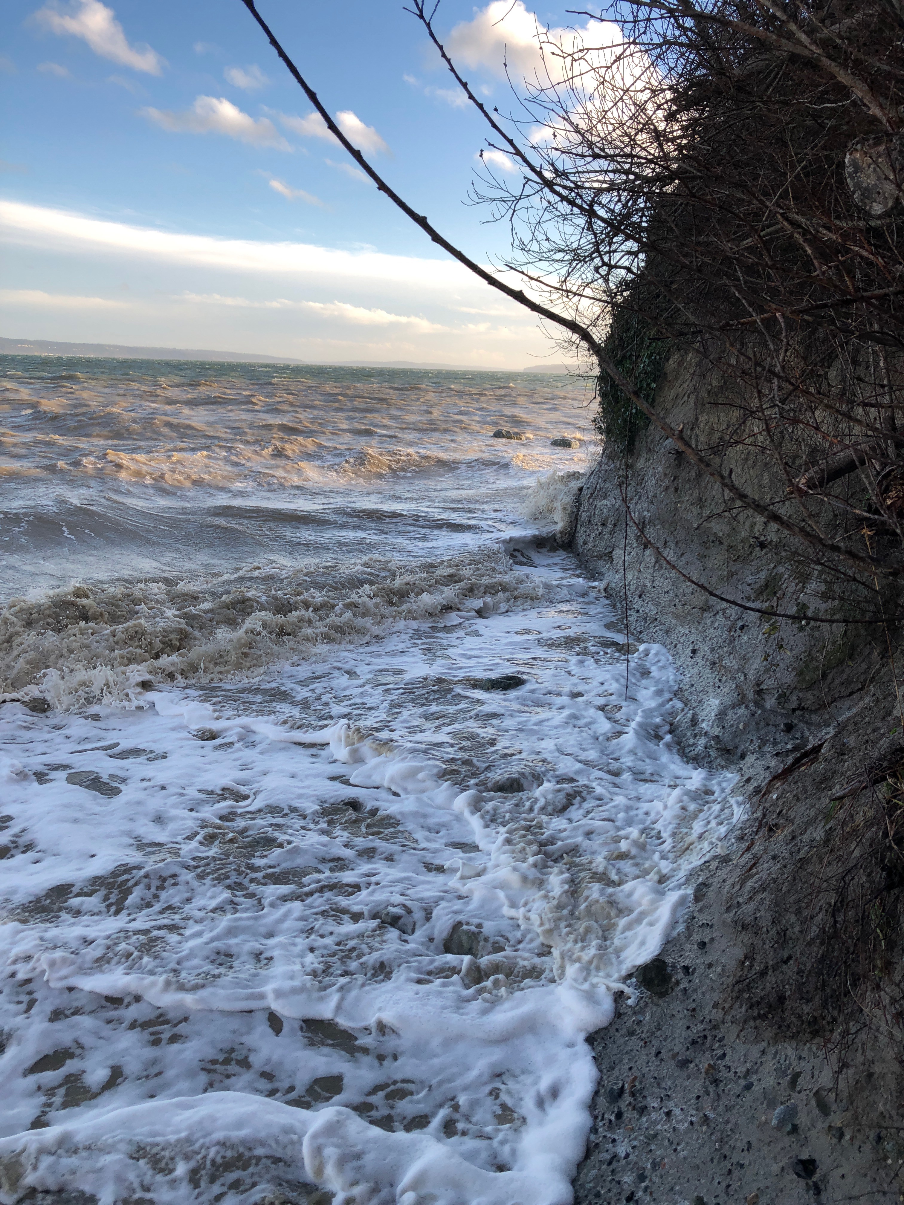
Latitude: 48.2699305266
Longitude: -122.624273927
Taken from: South
Beach Profile #2
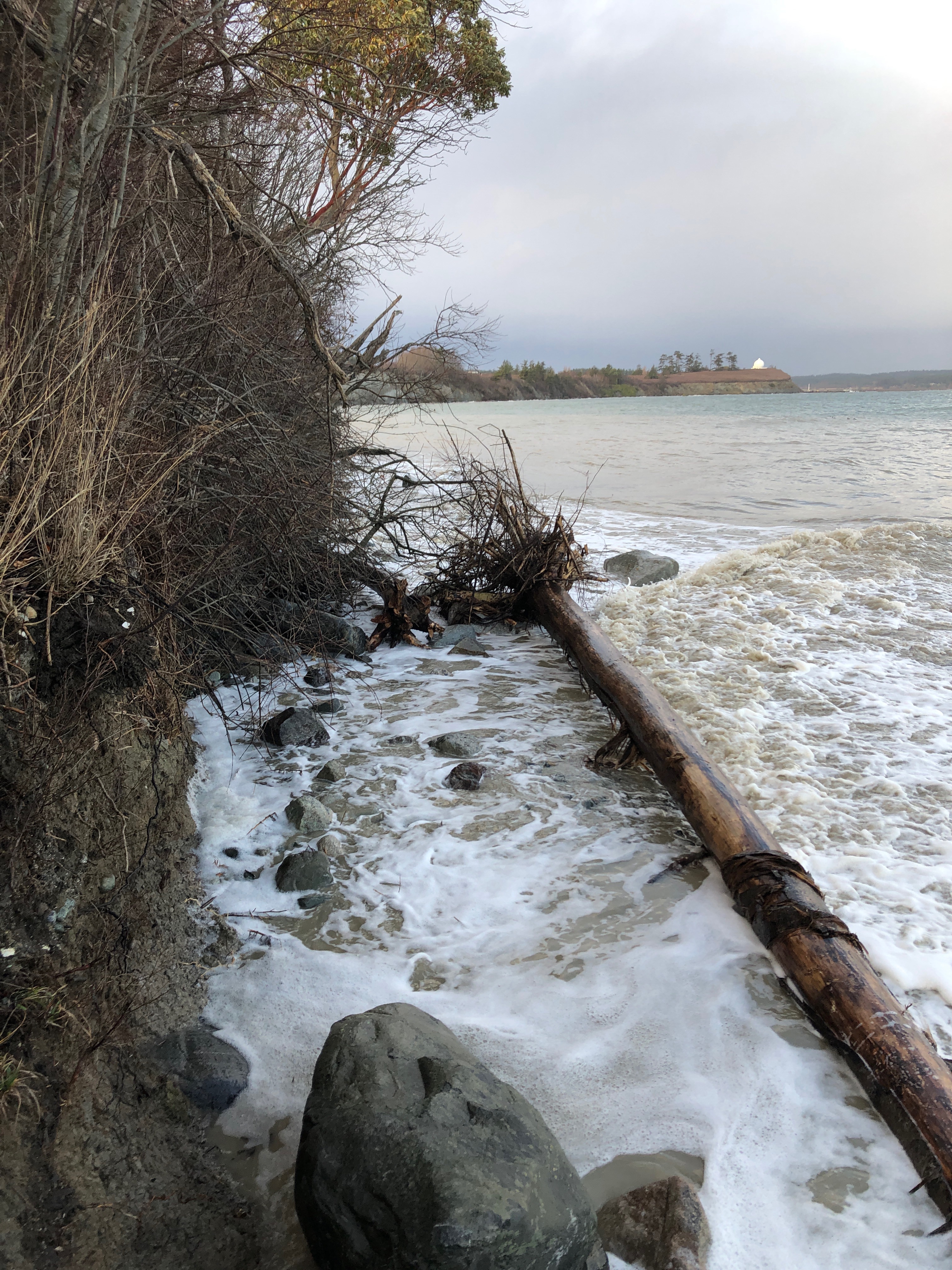
Latitude: 48.2699632249
Longitude: -122.62422722
Taken from: North
Reference Feature
Latitude: 48.2699855845
Longitude: -122.624278965
Substrate
Latitude: 48.2700249376
Longitude: -122.624232216
Tidal Overview
![]() 1 hours 10 minutes after high tide
1 hours 10 minutes after high tide
Data from Crescent Harbor, N. Whidbey Island (1.2 miles away)
High Tide (Predicted): 2:10 pm, 12.1' MLLW
Loading NOAA Tide Data…
■ Observed
■ Predicted water level
⬤ Report time
Weather Overview
Wind Speed: 23.2 MPH
Wind Direction: S (180°)
Temperature: 52℉
Rainfall (Calendar Day): 0"
Rainfall (Past 24 Hours): 0.06"
User-observed Weather:
- Partly cloudy
You must be logged in to post a comment.
Erosion at stairs.