Roads
Street/Road: Unspecified
Marinas and Harbors
Buildings
Hazardous Materials
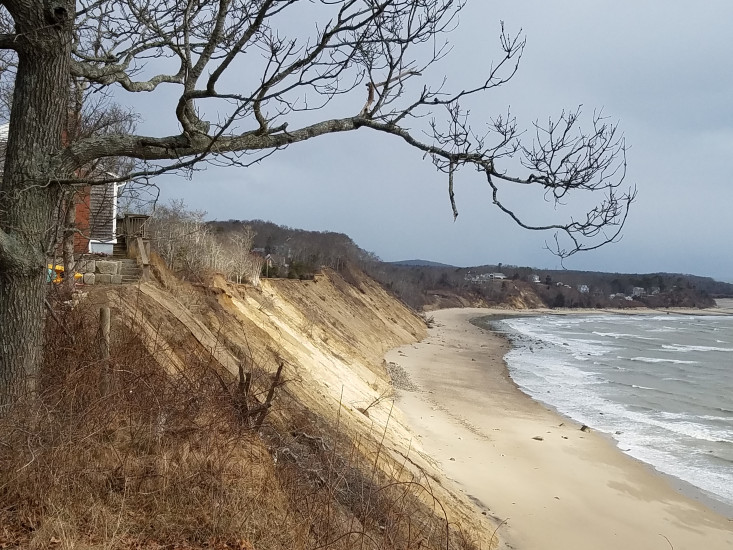
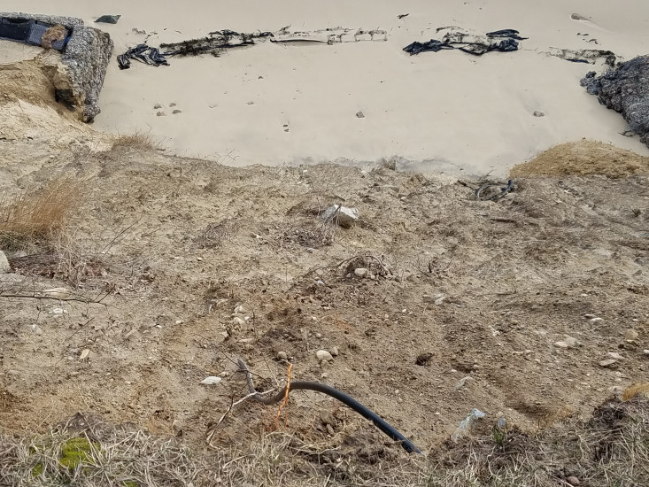
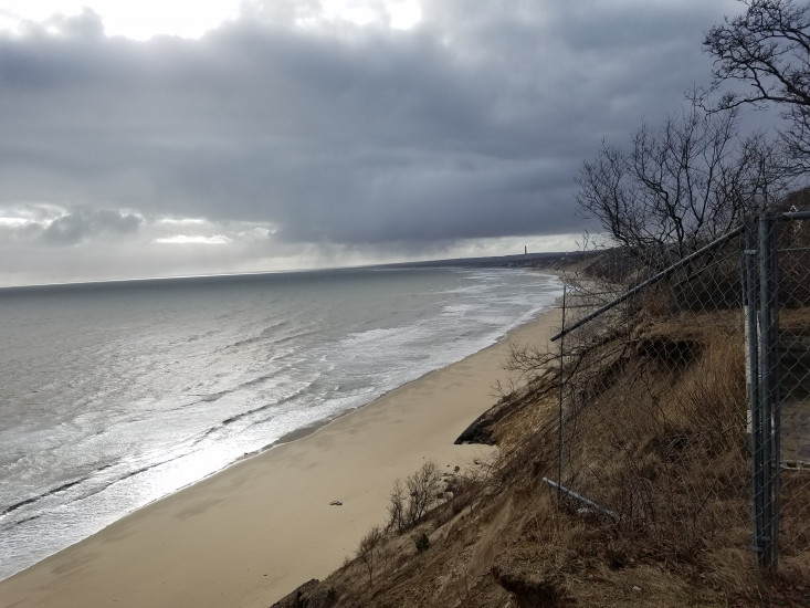
Beach
State: Inaccessible
Coastal Structures
Natural Resources
Specific Impacts:
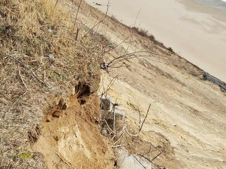
- Eroded bank/bluff
Comments: Neighbor thinks that bluff hasn't eroded much more with this storm
Current Response
Response:
- None
You must be logged in to post a comment.