Sandwich, MA (Sandwich White Cap Path)
Barnstable County
Storm Report
03/22/2018 | 8:00 am
Impacts Reported
Roads
Street/Road: Unspecified
Marinas and Harbors
Buildings
Hazardous Materials
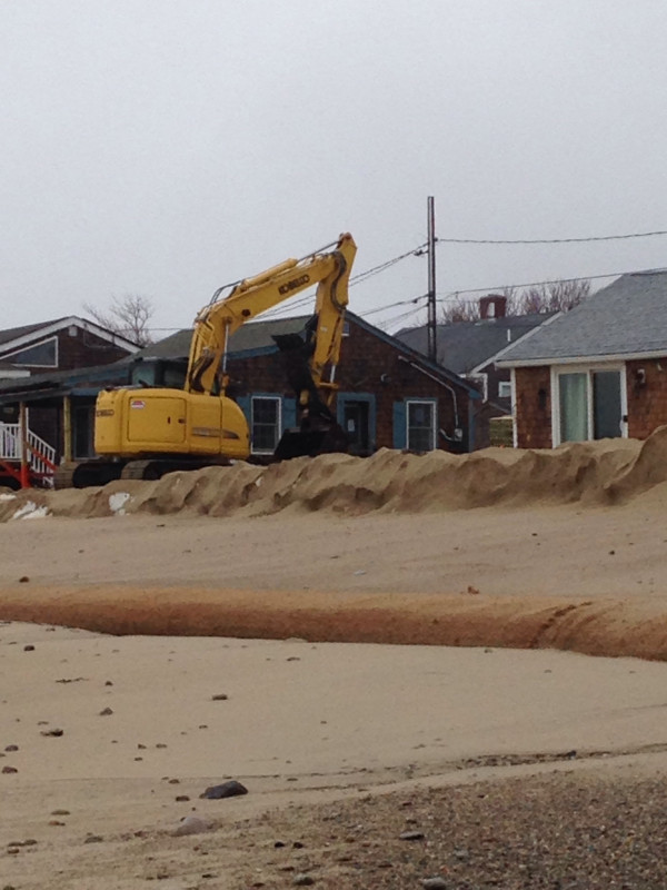
Beach
State: Accessible
Coastal Structures
Natural Resources
Specific Impacts:
- Eroded beach
- Eroded bank/bluff
Comments: Hard to distiguish previous impacts with new damage.
Current Response
Response:
- Dune building
- Other
Specific response: Fortifying bank with fiber material.
You must be logged in to post a comment.