
Barnstable County
Sandwich, MA
(Spring Hill Beach/ Salt Marsh Road)

Storm Report
Impacts Reported

User Submitted Data
Roads
Street/Road: Unspecified
Marinas and Harbors
Buildings
Street: Salt Marsh Road
Specific Impacts:
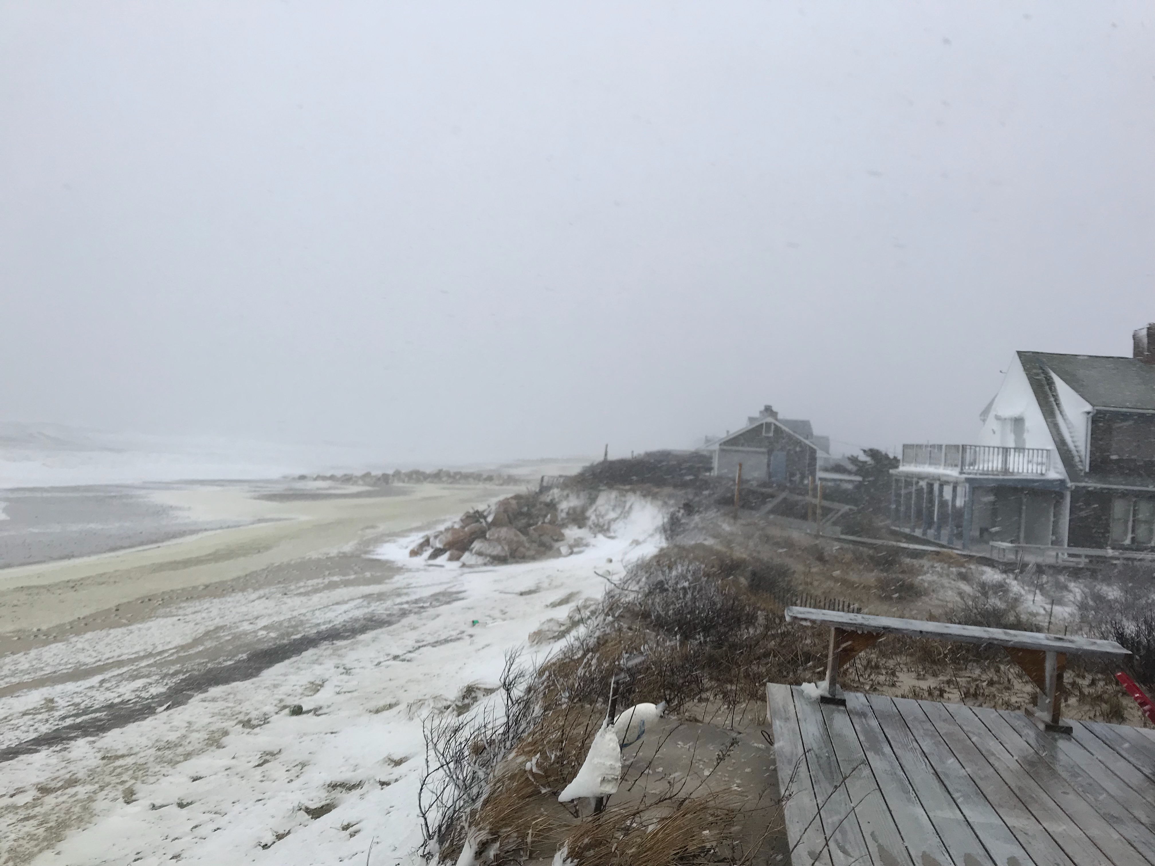
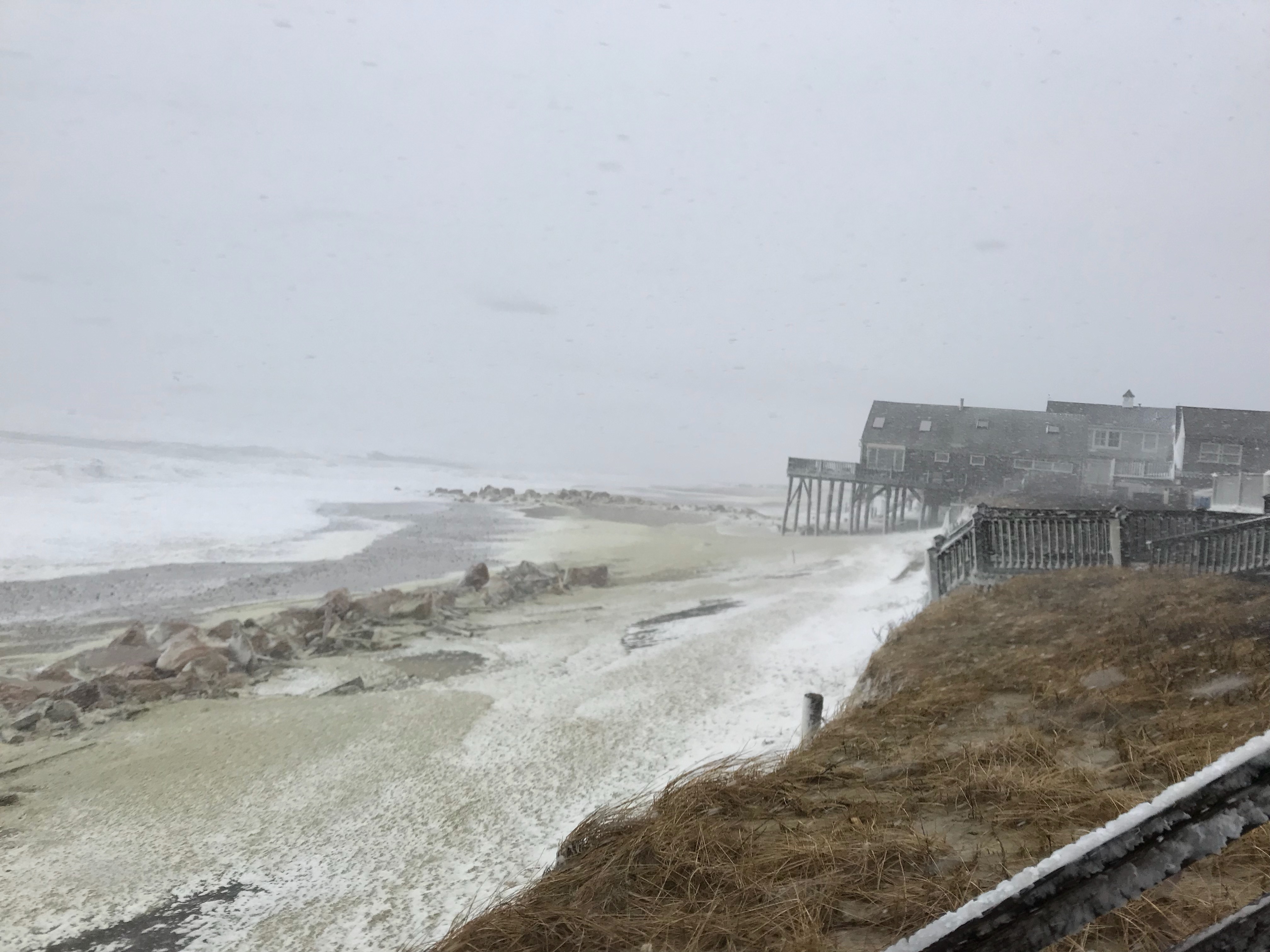
- Water flow around or under buildings
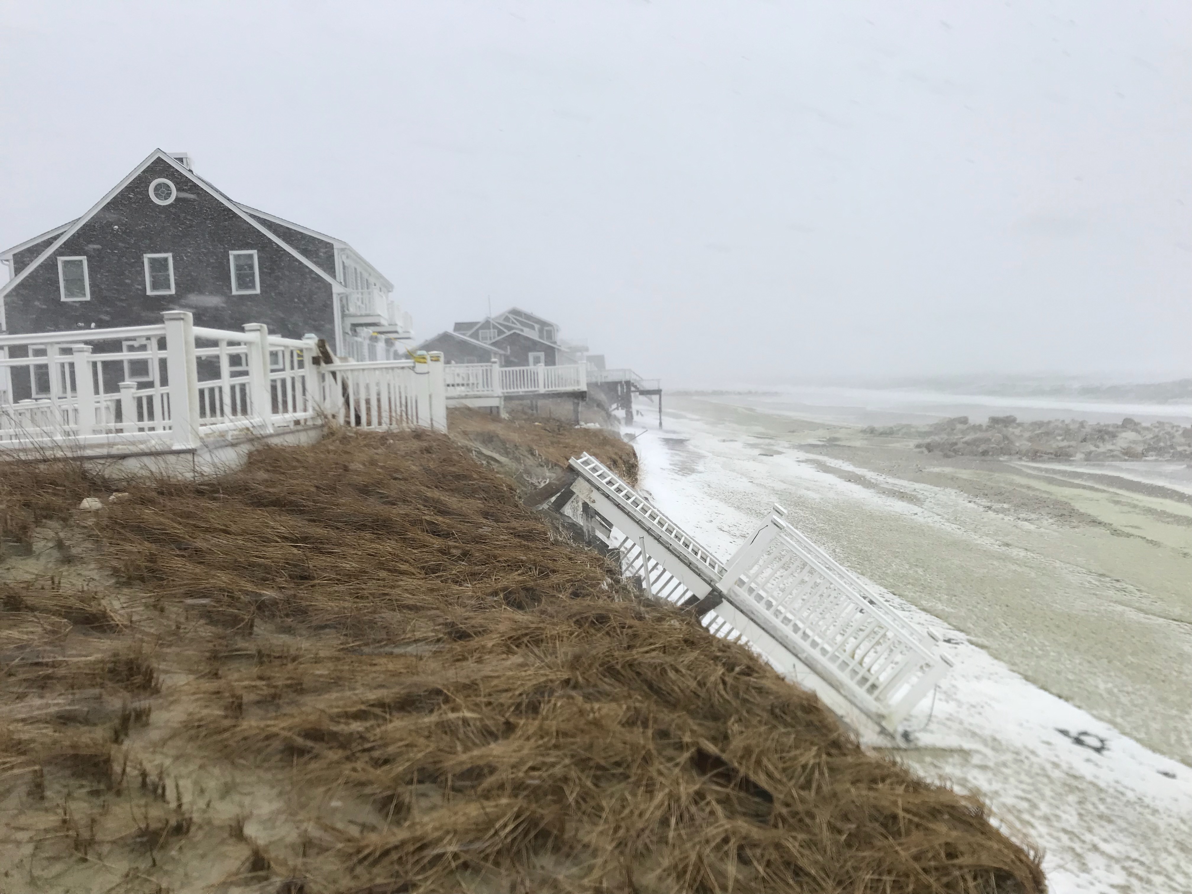
- Damaged stairs/decks
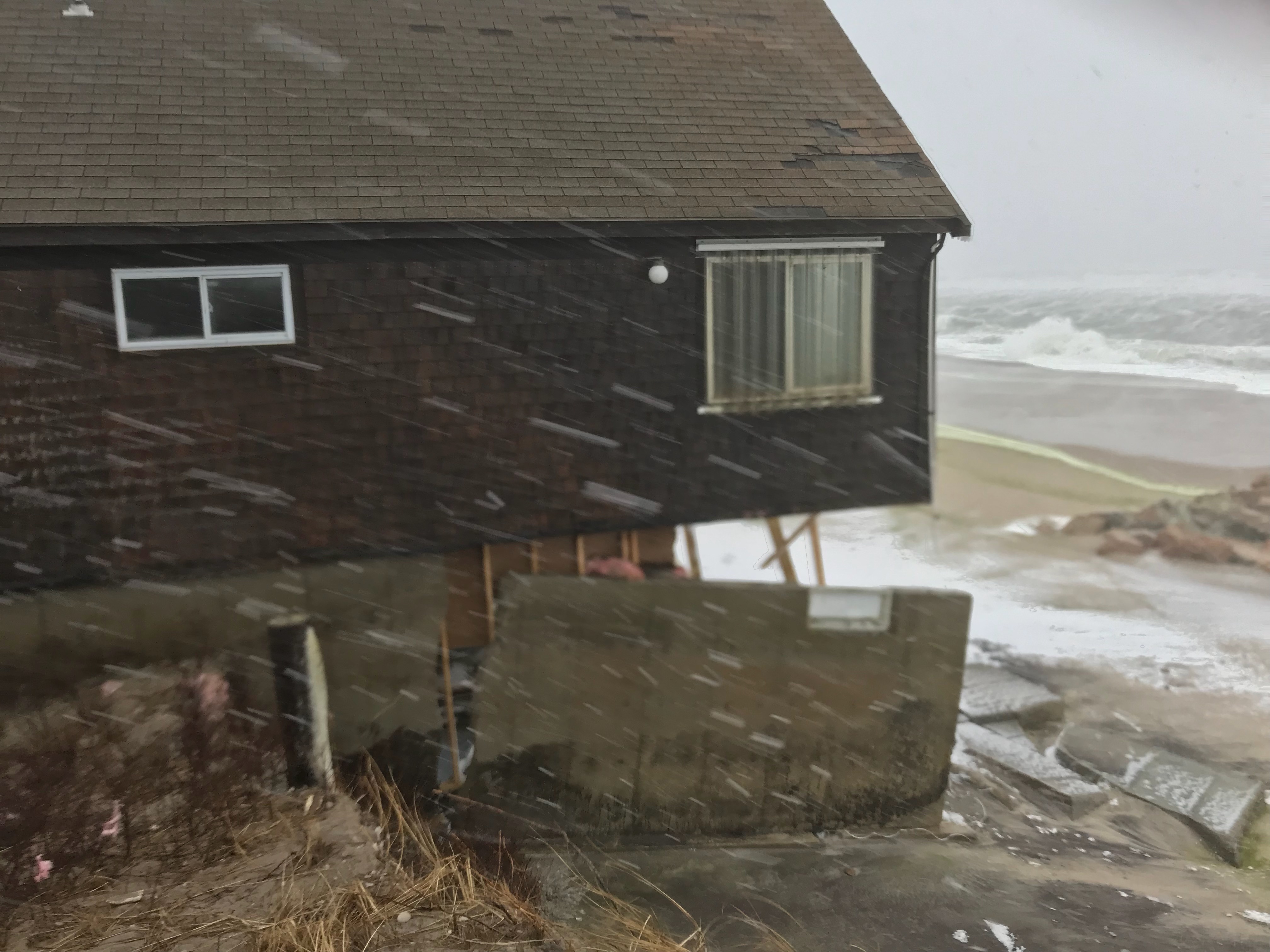
- Damaged windows/sidings
- Damaged walls/roofs
- Damaged foundations/pilings
Comments: Very hard to determine additional damage.... these buildings were already damaged and may be a bit worse after this storm. Road was not flooded at time of visit
Hazardous Materials
Beach
Coastal Structures
Specific Impacts:
- Splashover
Comments: Rocks on beach may have been revetments that had sand behind it erode
Foot/Cycling Paths
Natural Resources
Specific Impacts:
- Eroded beach
- Eroded dune
- Overwashed beach/dune
Comments: Overwash appears to have been under, around houses
Current Response
Response:
- None
You must be logged in to post a comment.