Roads
Street/Road: Unspecified
Marinas and Harbors
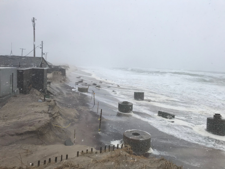
Buildings
Specific Impacts:
- Water flow around or under buildings
- Damaged stairs/decks
- Damaged windows/sidings
- Damaged walls/roofs
- Displaced/destroyed
Comments: Liam’s taking more damage, but almost all damage from previous storms
Hazardous Materials
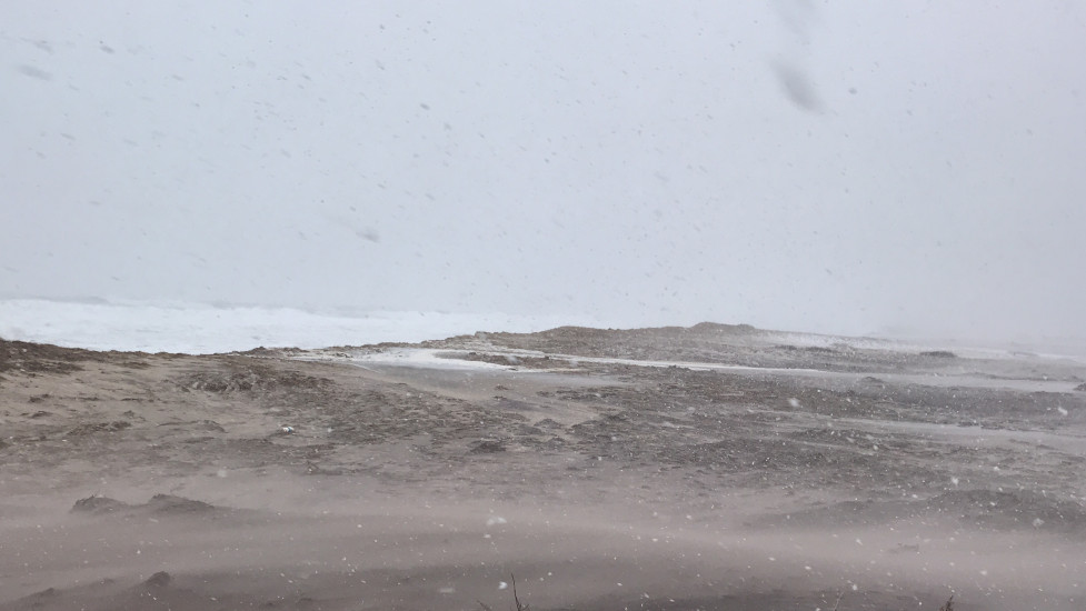
Beach
Natural Resources
Specific Impacts:
- Eroded beach
- Eroded dune
- Overwashed beach/dune
Current Response
Response:
- None
You must be logged in to post a comment.