Roads
Street/Road: Unspecified
Marinas and Harbors
Buildings
Hazardous Materials
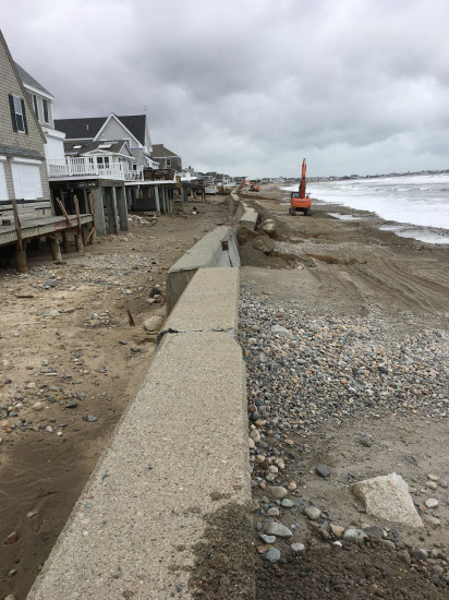
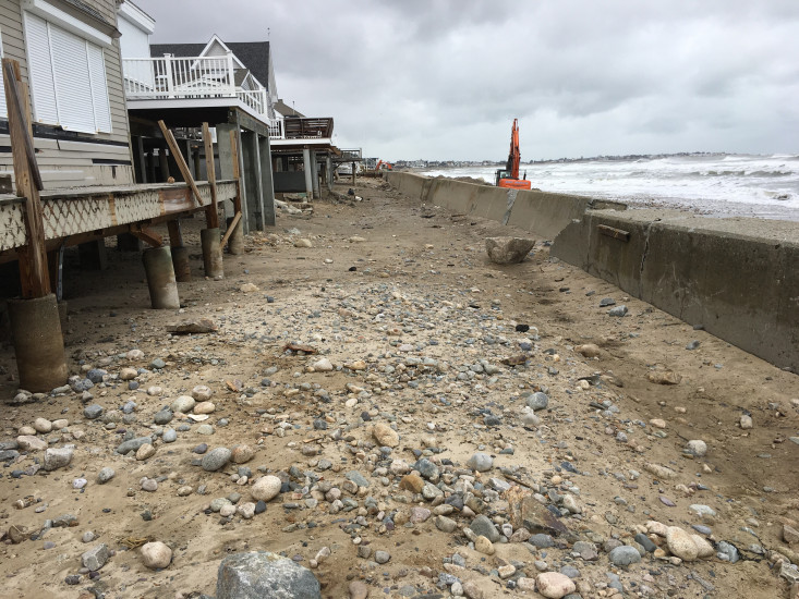
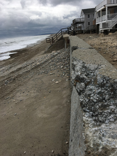
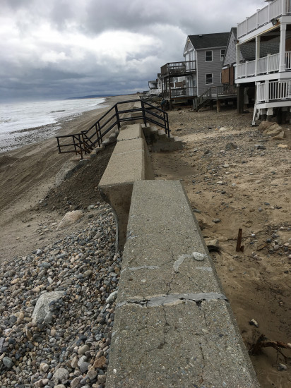
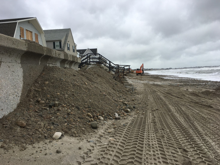
Beach
Natural Resources
Current Response
Response:
- Other
Specific response: Continued response to shore up sea wall
You must be logged in to post a comment.
Street/Road: Unspecified
Response:
Specific response: Continued response to shore up sea wall