Plymouth County
Duxbury, MA
(Sea Wall at Cable Hill Duxbury)
Storm Report
Impacts Reported
User Submitted Data
Roads
Street/Road: Unspecified
Marinas and Harbors
Buildings
Hazardous Materials
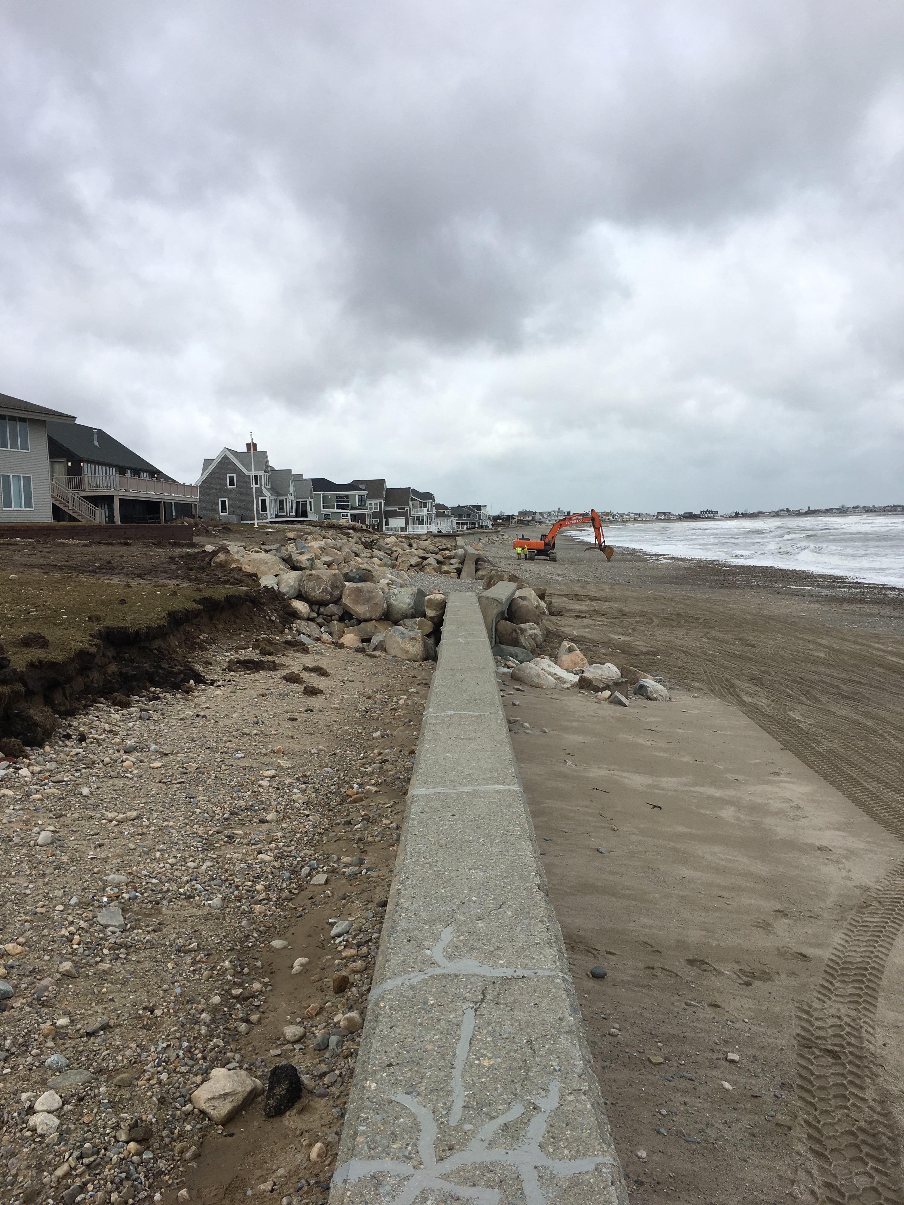
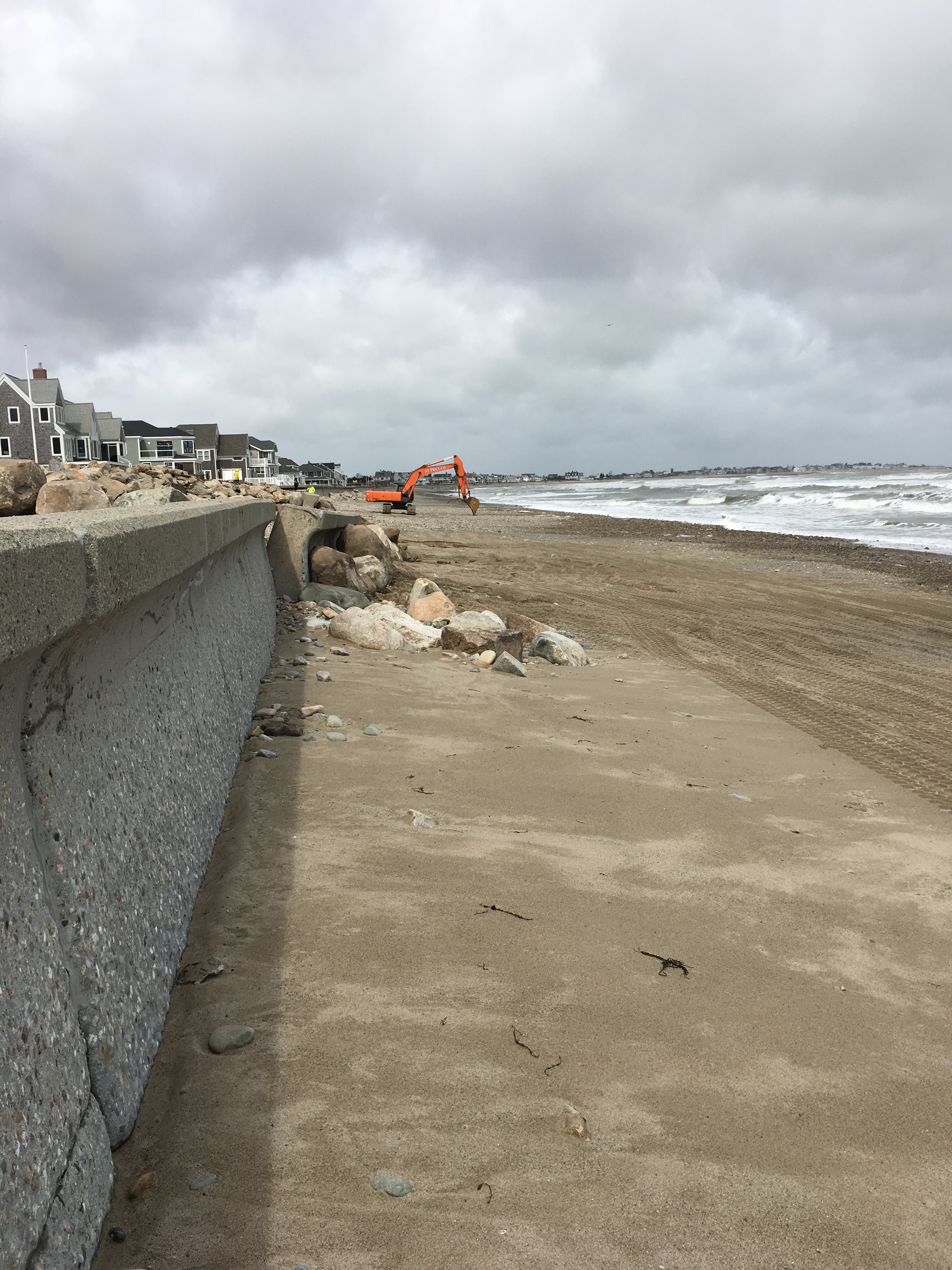
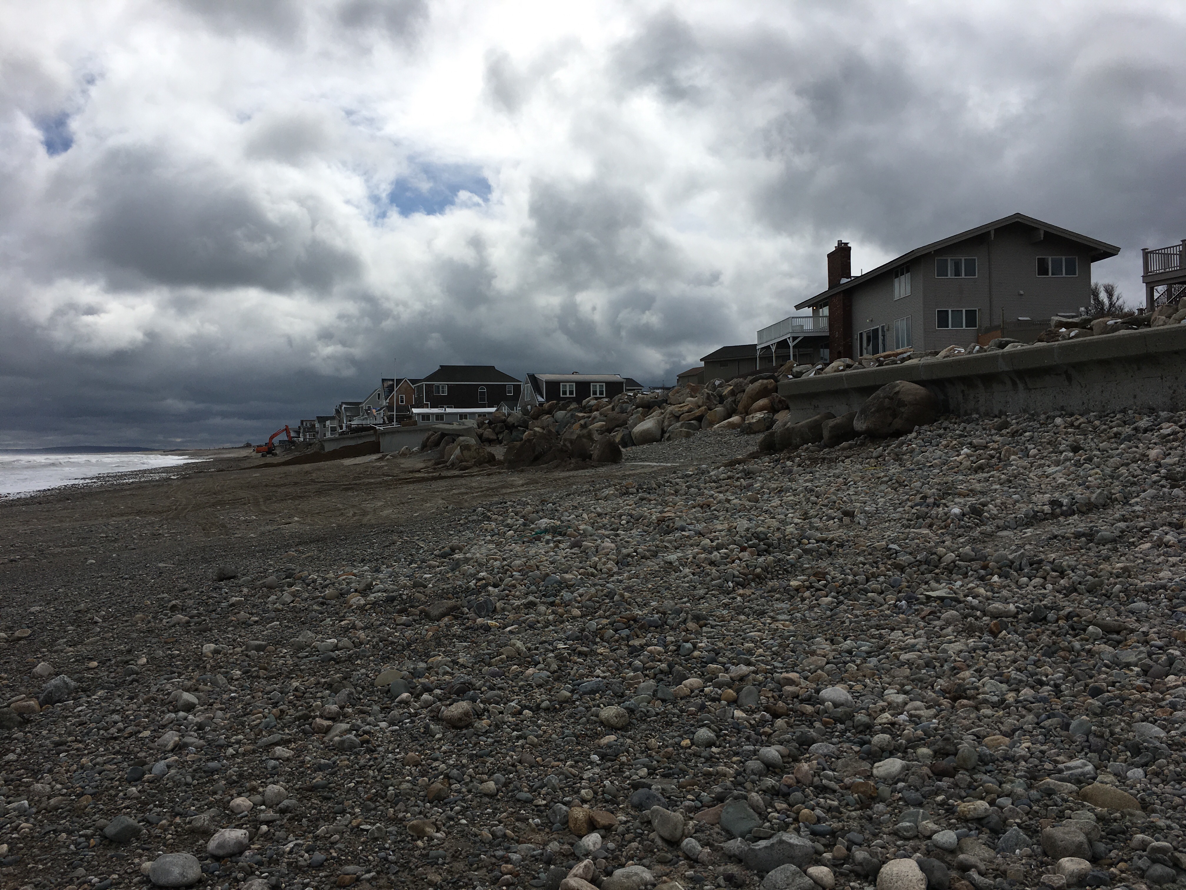
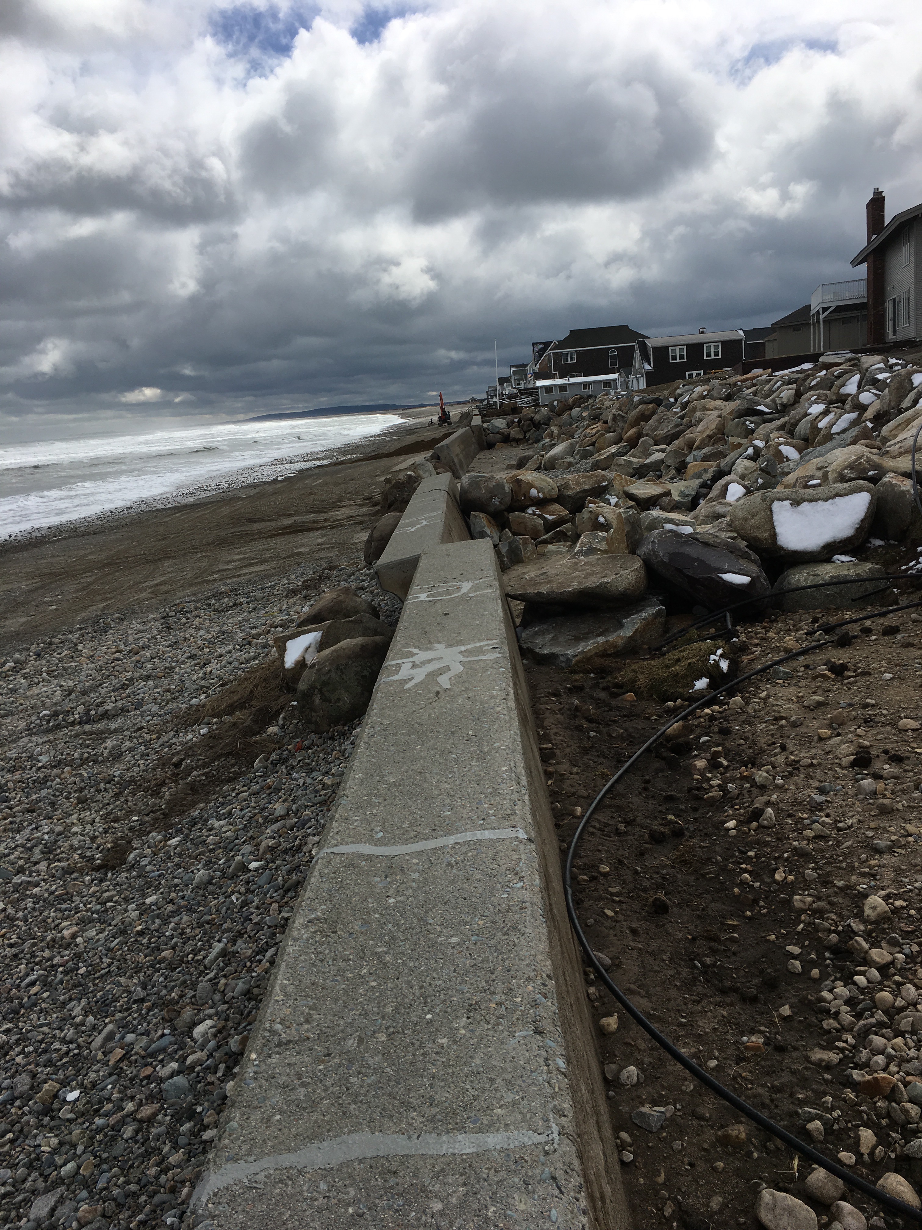
Beach
Coastal Structures
Specific Impacts:
- Leaning bulkheads/seawalls
- Collapsed bulkheads/seawalls
Foot/Cycling Paths
Natural Resources
Specific Impacts:
- Eroded beach
Current Response
Response:
- Other
Specific response: Continued response Town/private to shore up walls
Tidal Overview
![]() 4 hours 20 minutes before high tide
4 hours 20 minutes before high tide
Data from Brant Rock, Green Harbor River (1.4 miles away)
High Tide (Predicted): 4:21 pm, 8.4' MLLW
Loading NOAA Tide Data…
■ Observed
■ Predicted water level
⬤ Report time
Weather Overview
Wind Speed: 8.7 MPH
Wind Direction: NW (307°)
Temperature: 36℉
Rainfall (Calendar Day): 0"
Rainfall (Past 24 Hours): 1.17"
You must be logged in to post a comment.