Rockport, MA (Rockport: Penzance Road)
Essex County
Storm Report
03/08/2018 | 6:08 am
Impacts Reported
Roads
Street/Road: Unspecified
Specific Impacts:
- Impassable (washed out)
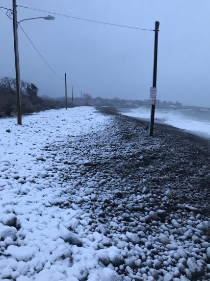
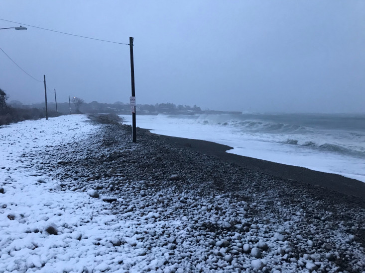
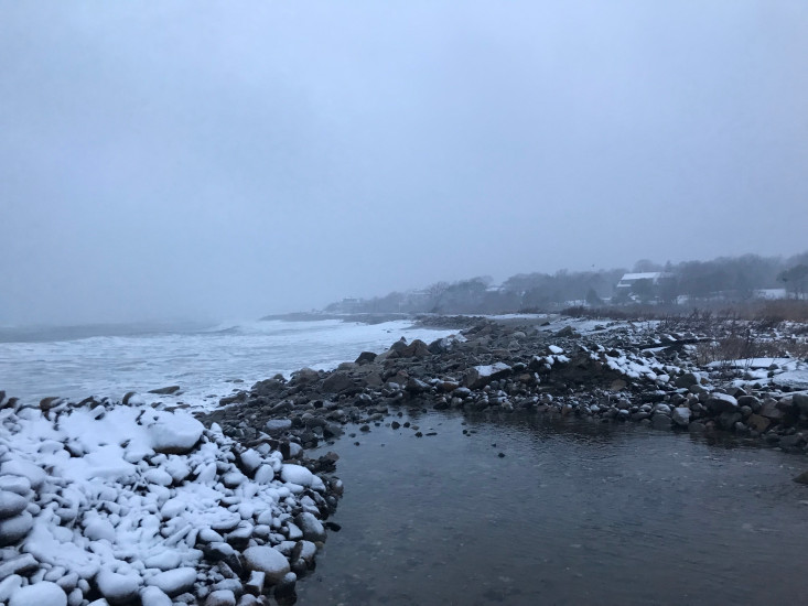
Comments: First picture shows where the high tide reached that night. Noted by the difference in snow accumulations.
Marinas and Harbors
Buildings
Hazardous Materials
Beach
State: Inaccessible
Coastal Structures
Natural Resources
Specific Impacts:
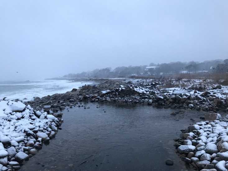
- Eroded dune
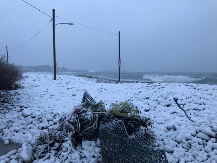
- Overwashed beach/dune
- Wrack on wetlands
Current Response
Response:
- None
You must be logged in to post a comment.