Roads
Street/Road: Unspecified
Marinas and Harbors
Buildings
Hazardous Materials
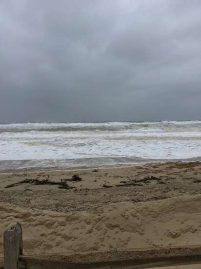
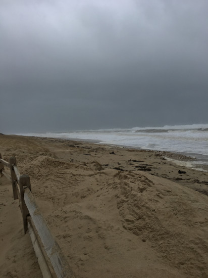
Beach
State: Y
Comments: Town beaches closed for storm.
Coastal Structures
Natural Resources
Specific Impacts:
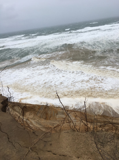
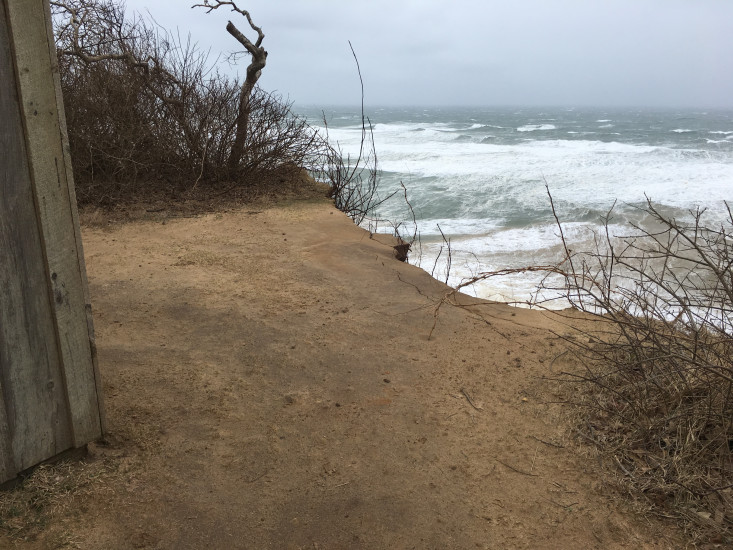
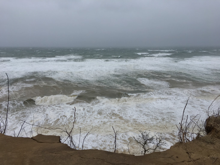
- Eroded beach
- Eroded dune
- Eroded bank/bluff
Comments: Very large waves breaking off the east coast of the north Truro shoreline. Waves breaking on offshore bar and onshore, brown with sand/sediment. The bluff at the Wave Observation Shack (at Highland Center, run by NPS/Center for Coastal Studies) appears to have eroded (unclear if overnight or earlier), but scarp looks relatively new. Cracks in surface at bluff edge. Looks like waves are cutting the base of the bluff.
Current Response
You must be logged in to post a comment.
"Photos of beach are located at Coast Guard Beach, at the end of Coast Guard Road, ~1 mile north of marked location. The bluff photos are located at the spot marked."