Snohomish County
Stanwood, WA
Storm Surge Report
User Submitted Data
Report type: Post-storm
Measurement represents:
- debris line
Wave height: 0ft
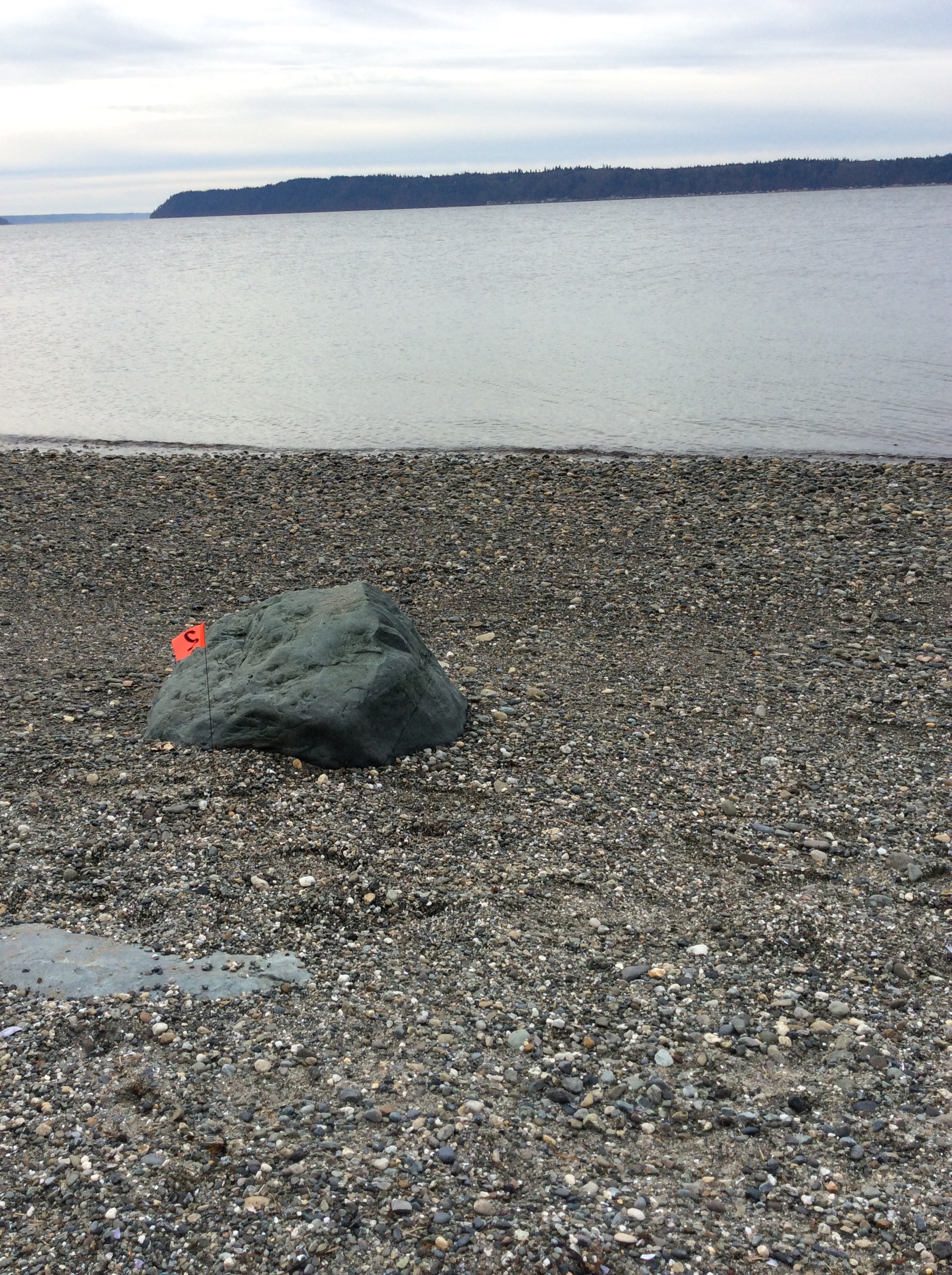
Stake number: 2
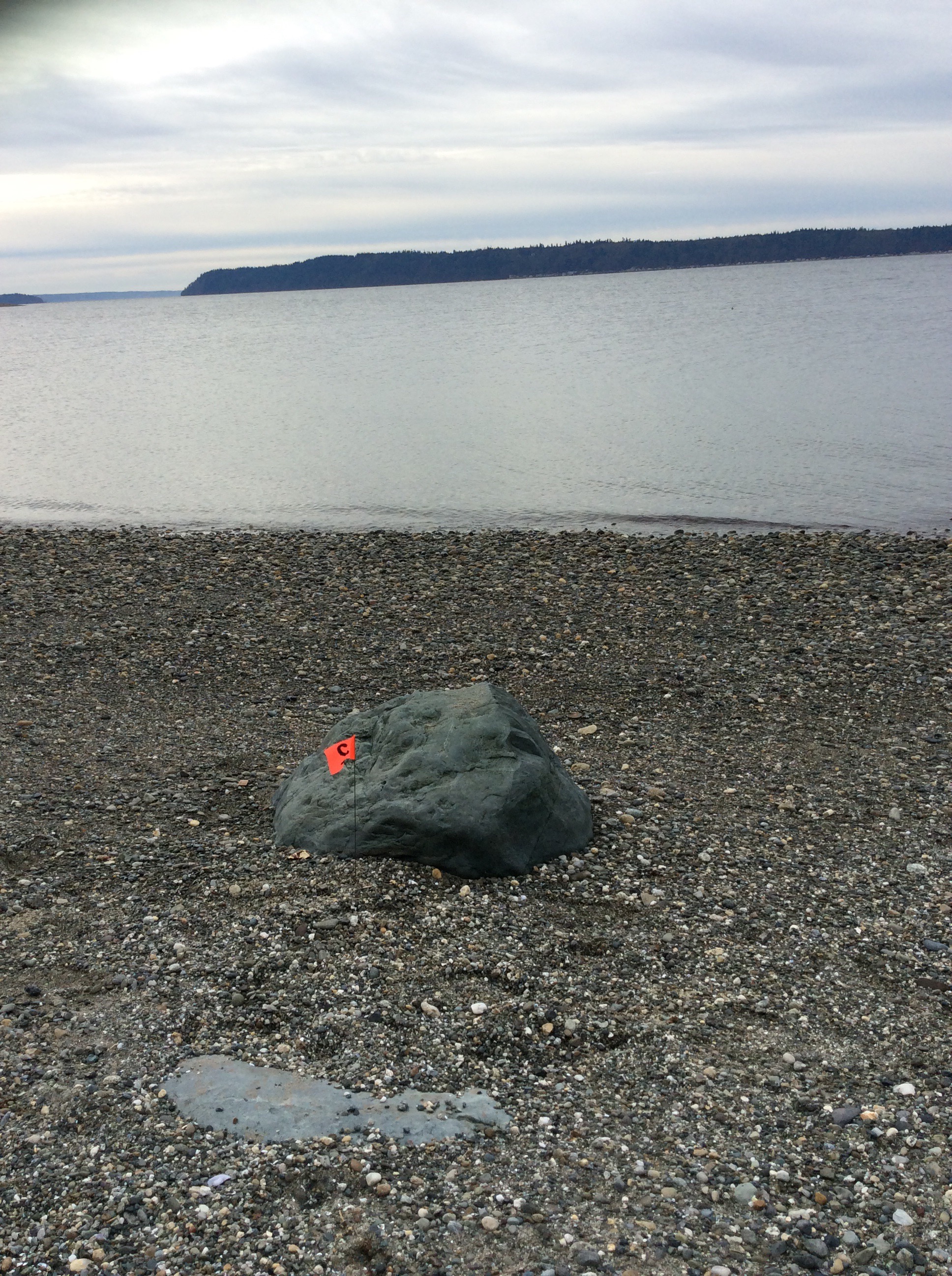
Stake Photo
Latitude: 48.1347493921
Longitude: -122.367854007
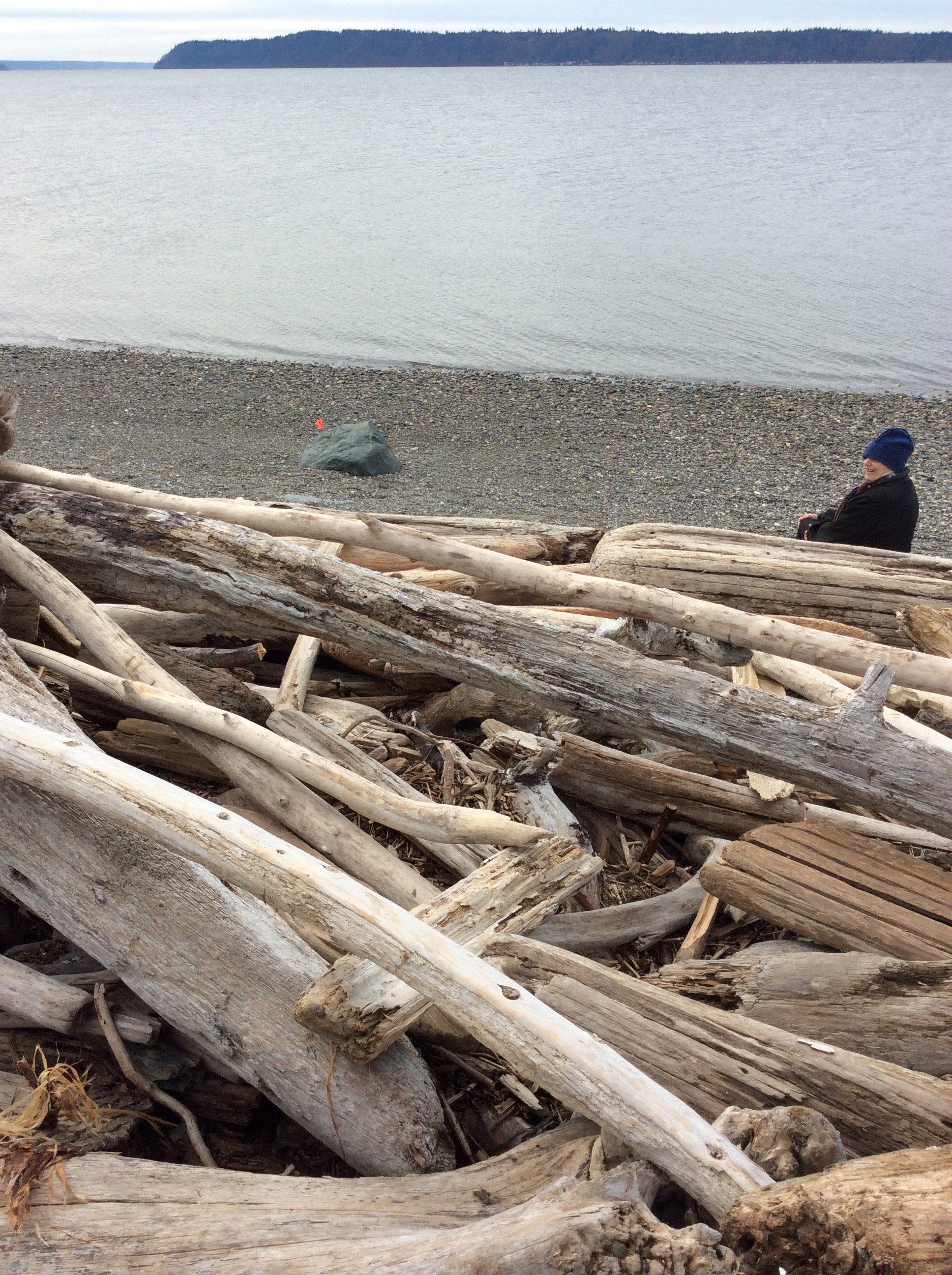
From Vantage Point
Latitude: 48.1347519486
Longitude: -122.367786113
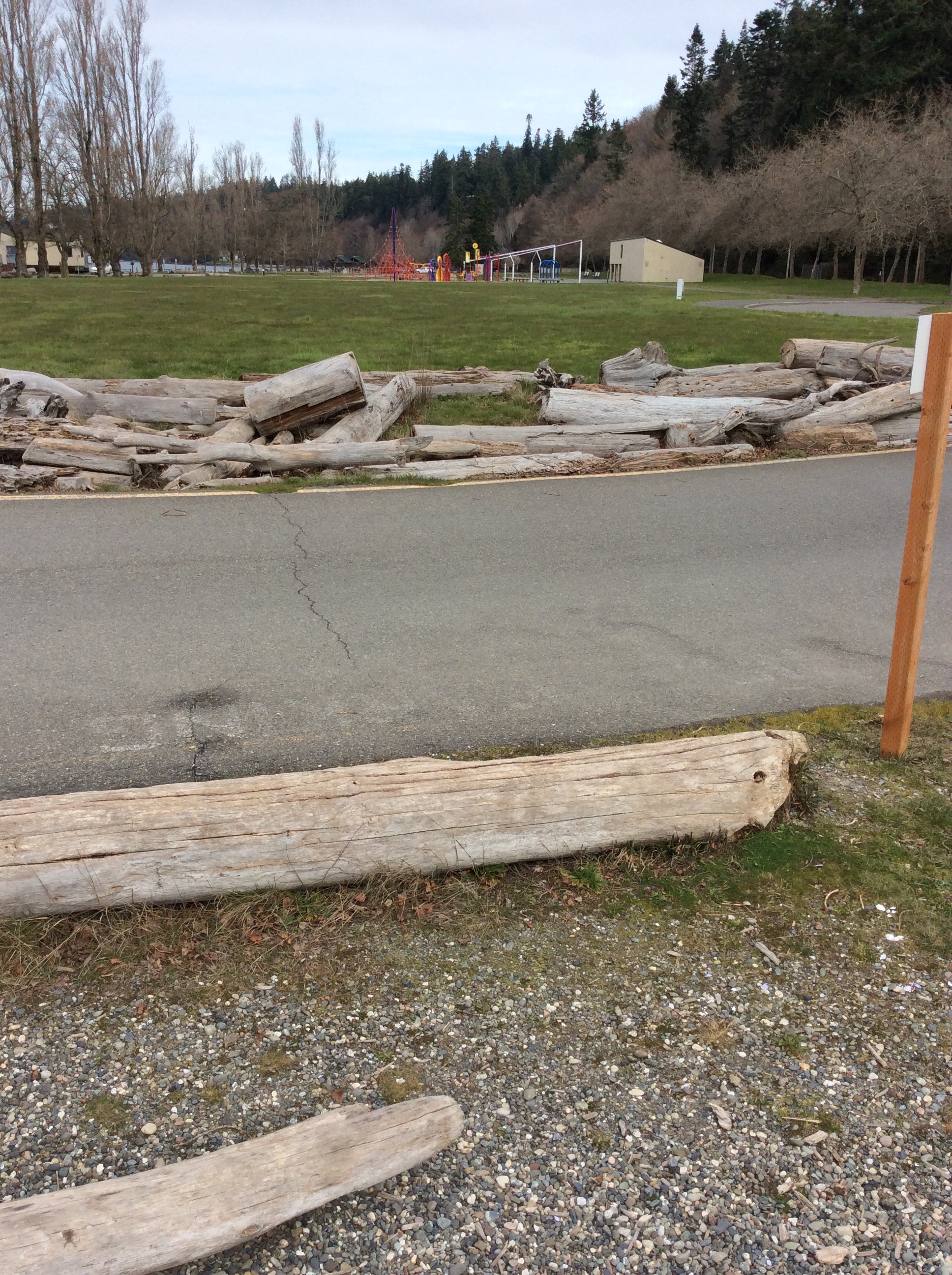
Beach Profile #1
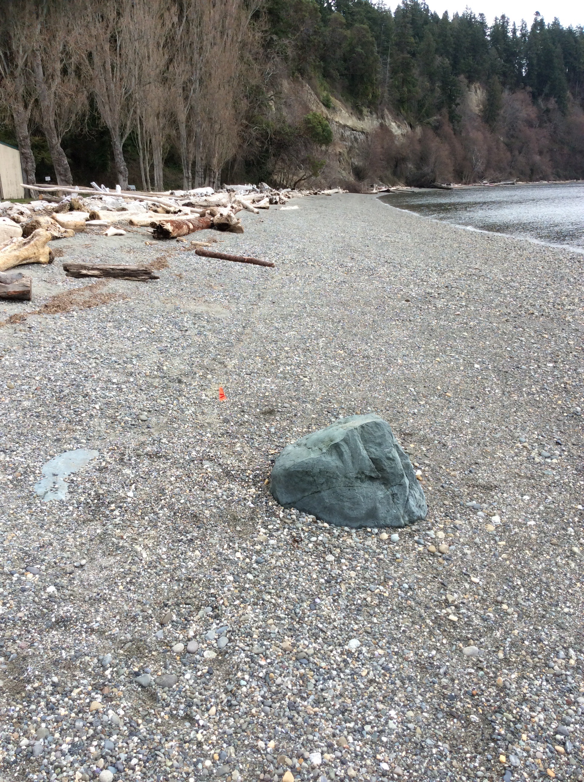
Latitude: 48.1347270962
Longitude: -122.367843026
Taken from: East
Beach Profile #2
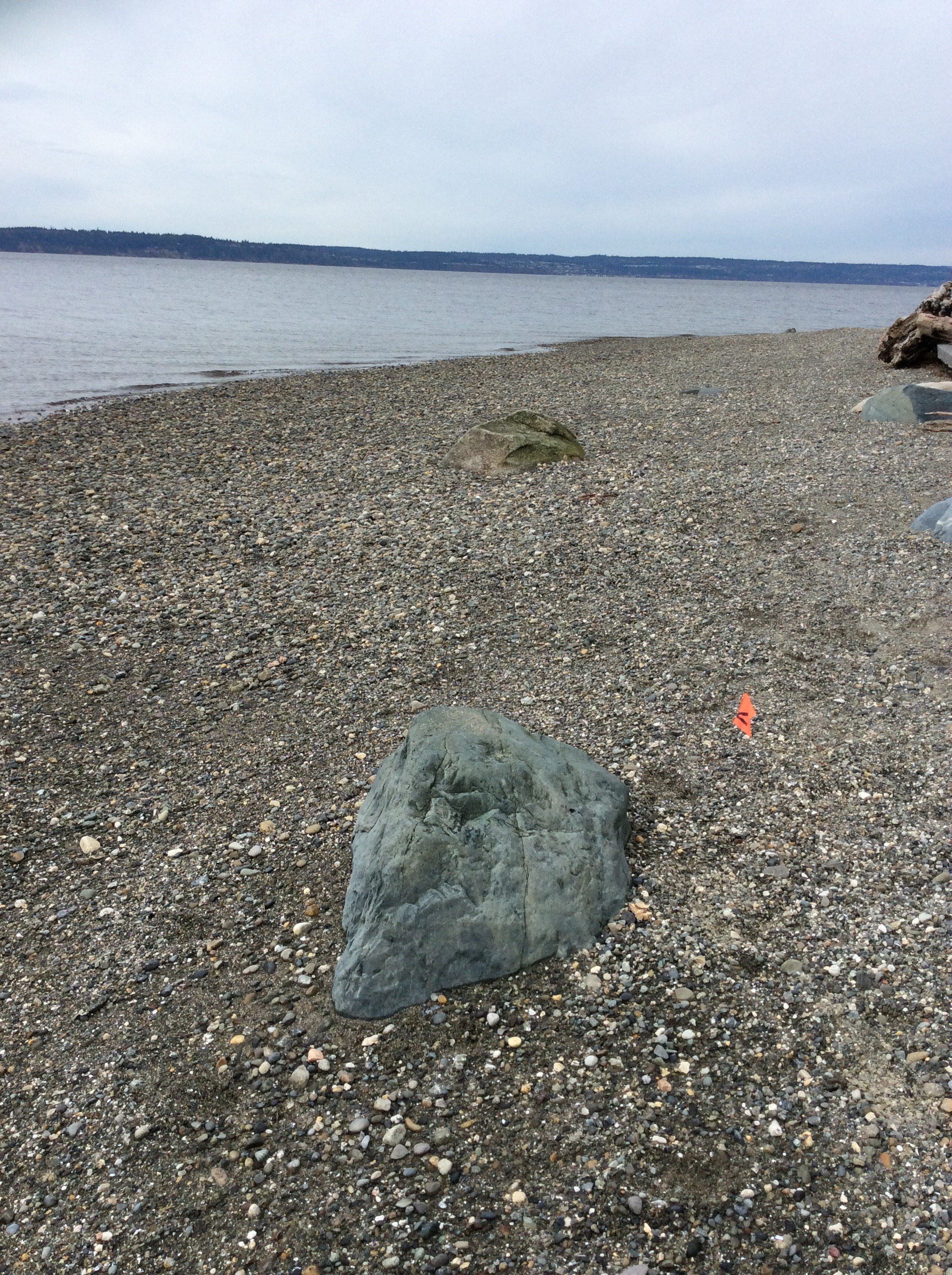
Latitude: 48.1347144815
Longitude: -122.367765745
Taken from: West
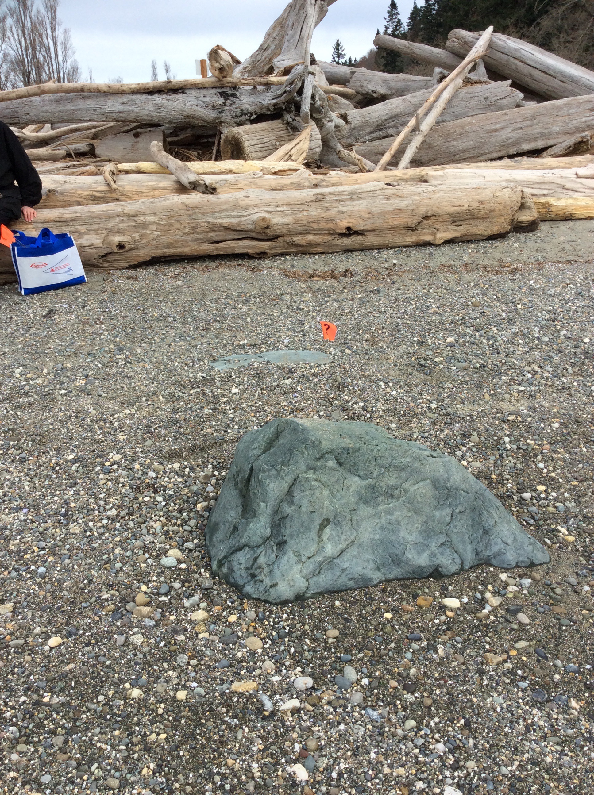
Reference Feature
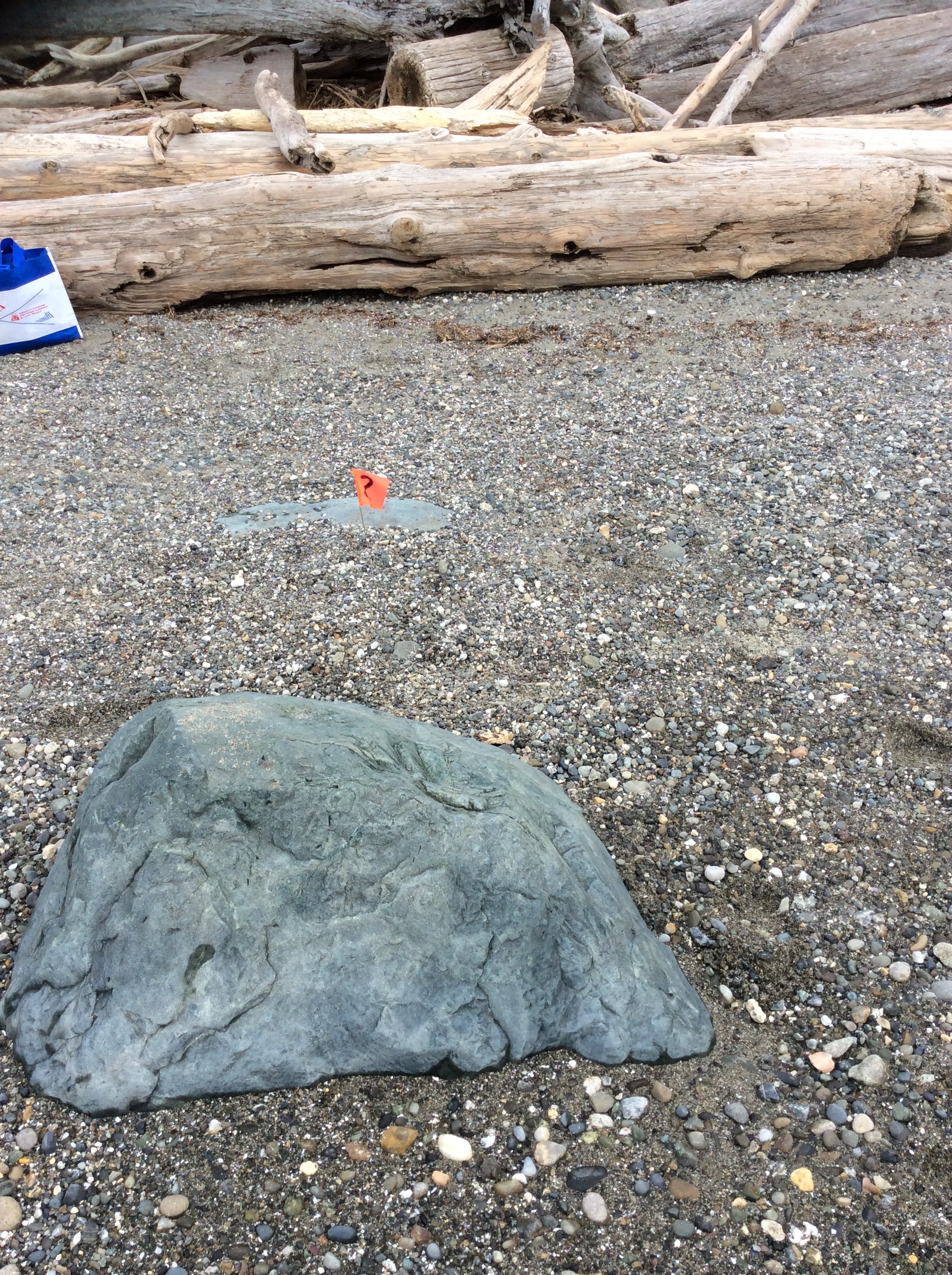
Latitude: 48.1347144815
Longitude: -122.367765745
Substrate

Latitude: 48.1347144815
Longitude: -122.367765745
Tidal Overview
![]() 3 hours 31 minutes after high tide
3 hours 31 minutes after high tide
Data from Port Townsend (18.8 miles away)
Water Level (at time of report): 11:07 am, 4.5' MLLW
High Tide (Predicted): 7:36 am, 8.3' MLLW
High Tide (Observed): 7:36 am, 8' MLLW
Loading NOAA Tide Data…
Weather Overview
Wind Speed: 5.7 MPH
Wind Direction: WNW (302°)
Temperature: 43℉
Rainfall (Calendar Day): 0"
Rainfall (Past 24 Hours): 0"
User-observed Weather:
- Overcast
Sorry, this is a little mixed up, I emailed the photos taken on the 4th. Took vantage point first here.