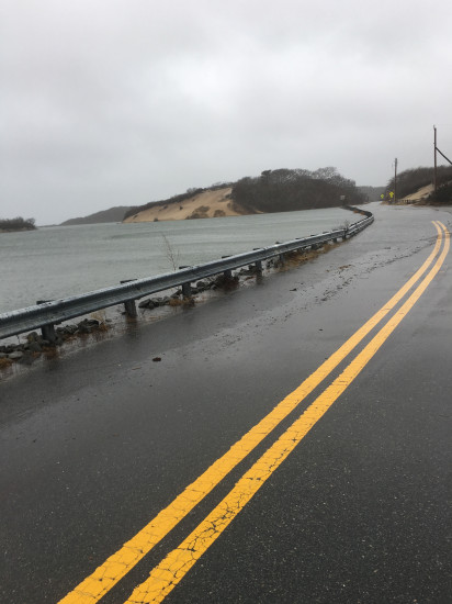
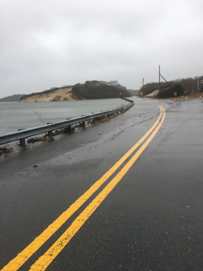
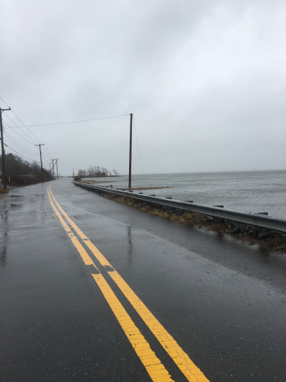
Provincetown, MA (Provincetown- Provincelands Road)
Barnstable County
Storm Report
03/02/2018 | 11:50 am
Impacts Reported
Roads
Street/Road: Unspecified
Specific Impacts:
- Impassable (flood water)
- Impassable (overwash)
Comments: Road closed from Herring Cove beach to rotary by breakwater. Impassable from high tide flooding.
Marinas and Harbors
Buildings
Hazardous Materials
Beach
State: Inaccessible
Coastal Structures
Specific Impacts:
- Splashover
Natural Resources
Comments: Hard to tell yet- underwater.
Current Response
Response:
- Other
Specific response: Road closure.
You must be logged in to post a comment.