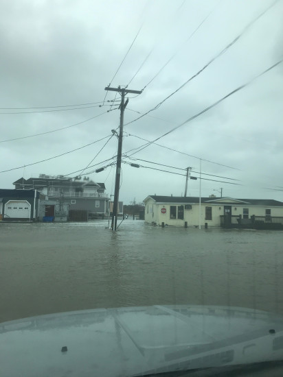
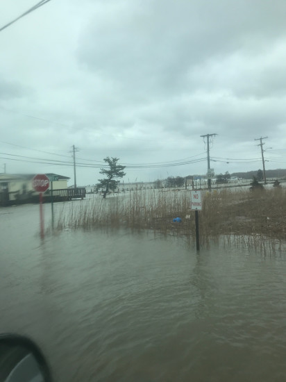
Roads
Street/Road: Unspecified
Specific Impacts:
- Splashover
- Impassable (flood water)
Marinas and Harbors
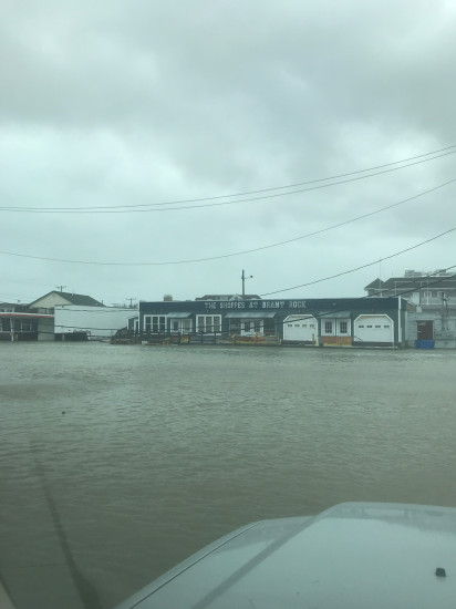
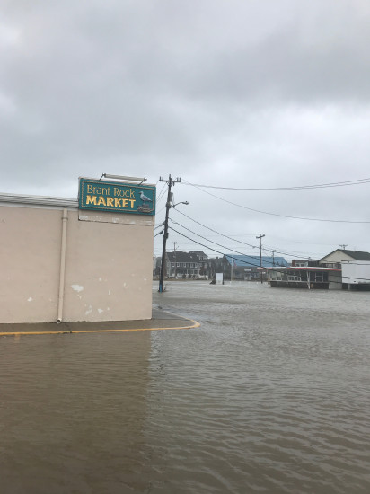
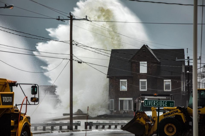
Buildings
Specific Impacts:
- Water flow around or under buildings
- Damaged stairs/decks
- Damaged windows/sidings
- Damaged walls/roofs
- Damaged foundations/pilings
Comments: Comments
Hazardous Materials
Beach
State: Accessible
Coastal Structures
Specific Impacts:
- Splashover
Natural Resources
Current Response
You must be logged in to post a comment.
".."