Roads
Street/Road: Unspecified
Marinas and Harbors
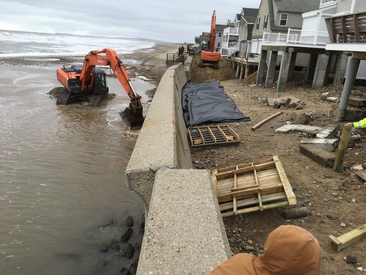
Buildings
Hazardous Materials
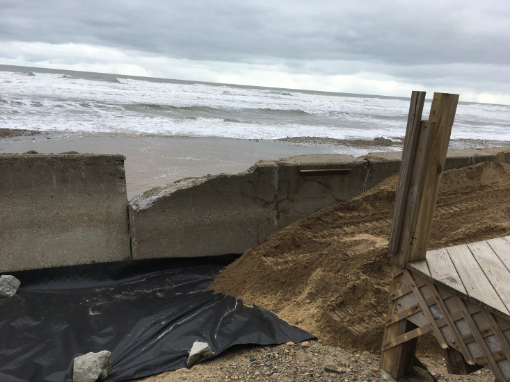
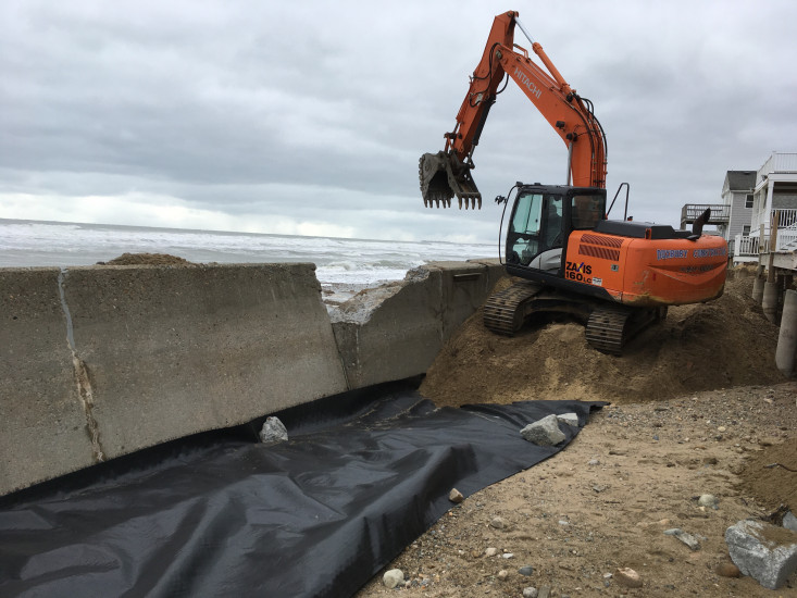
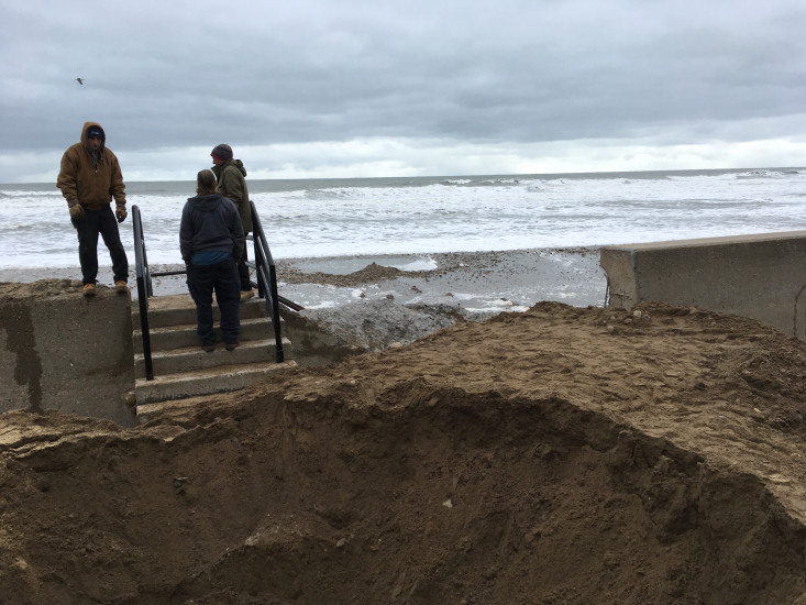
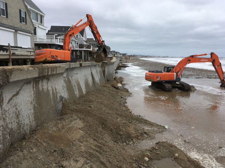
Beach
Foot/Cycling Paths
Natural Resources
Current Response
Response:
- Other
Specific response: Working to stabilize wall with beach material and off site stone
You must be logged in to post a comment.