Suffolk County
Winthrop, MA (Winthrop Shore Drive)
Storm Report
Impacts Reported
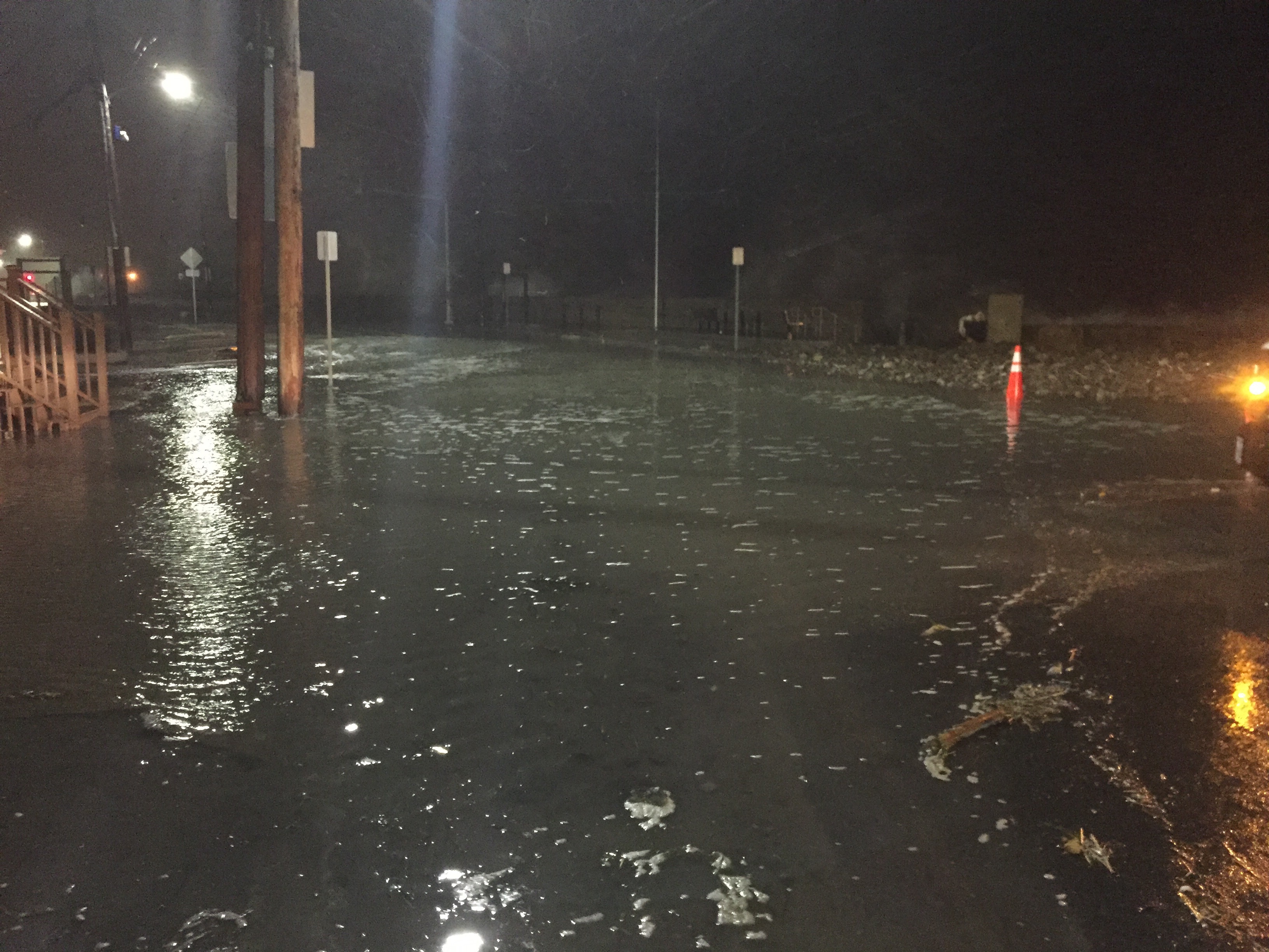
Roads
Street/Road: Unspecified
Specific Impacts:
- Impassable (flood water)
Marinas and Harbors
Buildings
Hazardous Materials
Beach
Foot/Cycling Paths
Natural Resources
Current Response
Tidal Overview
![]() 0 hours 56 minutes after high tide
0 hours 56 minutes after high tide
Data from BOSTON (4.6 miles away)
Water Level (at time of report): 2:18 am, 12.1' MLLW
High Tide (Predicted): 1:19 am, 10.6' MLLW
High Tide (Observed): 1:18 am, 12.9' MLLW
■ Observed
■ Predicted water level
⬤ Report time
Weather Overview
Wind Speed: 16.9 MPH
Wind Direction: N (351°)
Temperature: 33℉
Rainfall (Calendar Day): 0"
Rainfall (Past 24 Hours): 0"
You must be logged in to post a comment.