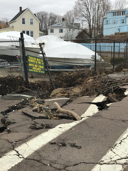

Roads
Street/Road: Unspecified
Specific Impacts:
- Impacted, but passable
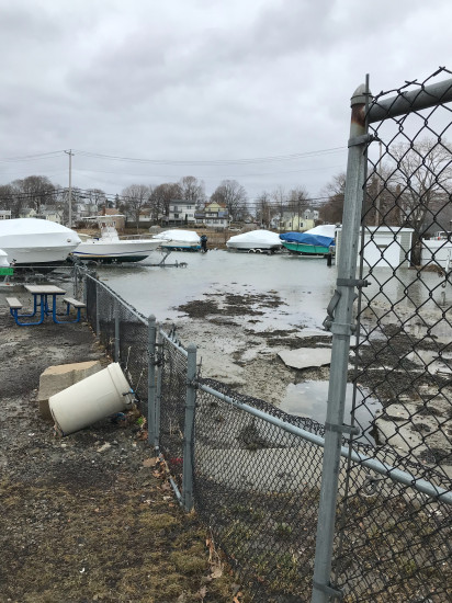
Comments: Scoured pavement directly behind sea wall and at entrance to boat yard. Floodwaters came up through opening at boat ramp and poured into boat yard.
Marinas and Harbors
Buildings
Hazardous Materials
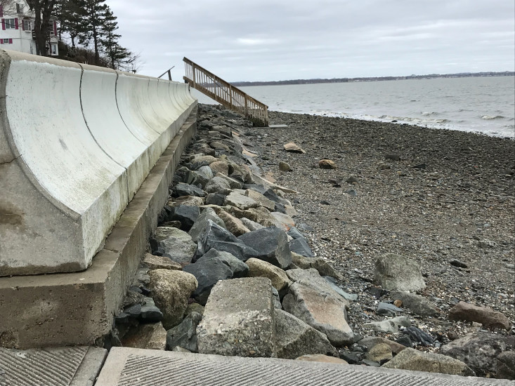
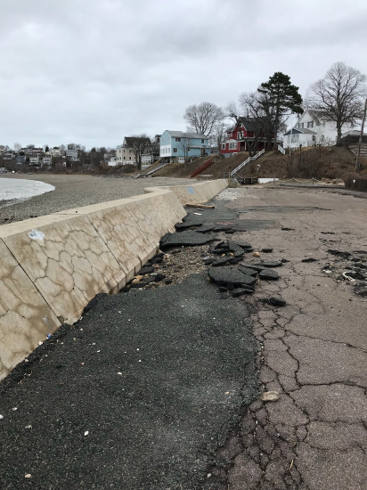
Beach
State: Accessible
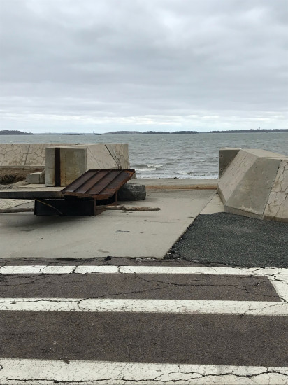
Coastal Structures
Specific Impacts:
- Damaged stairs/walkovers
Comments: Gate at boat ramp torn off of sea wall
Natural Resources
Specific Impacts:
- Eroded beach
Current Response
You must be logged in to post a comment.