Essex County
Salisbury, MA
(Ocean Side of Salisbury Beach State Reservation)
Storm Report
Impacts Reported
User Submitted Data
Roads
Street/Road: Unspecified
Marinas and Harbors
Buildings
Hazardous Materials
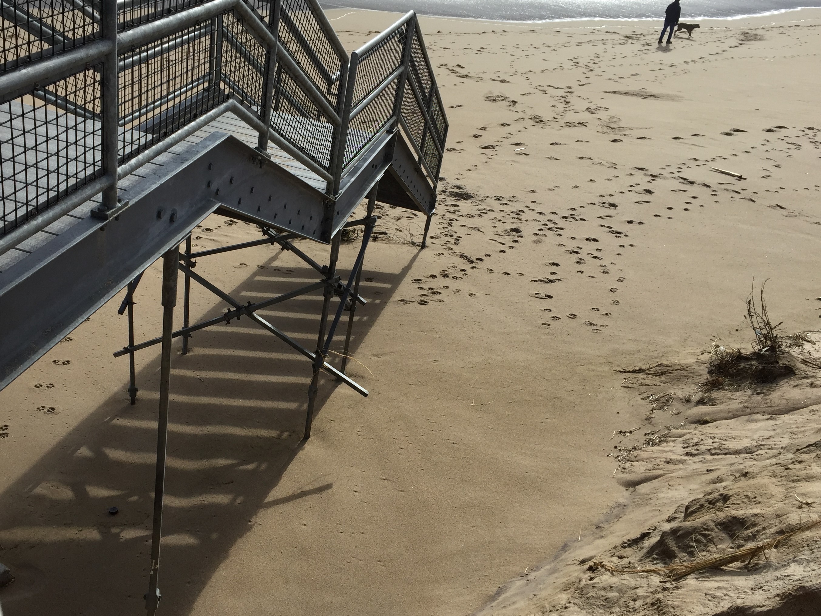
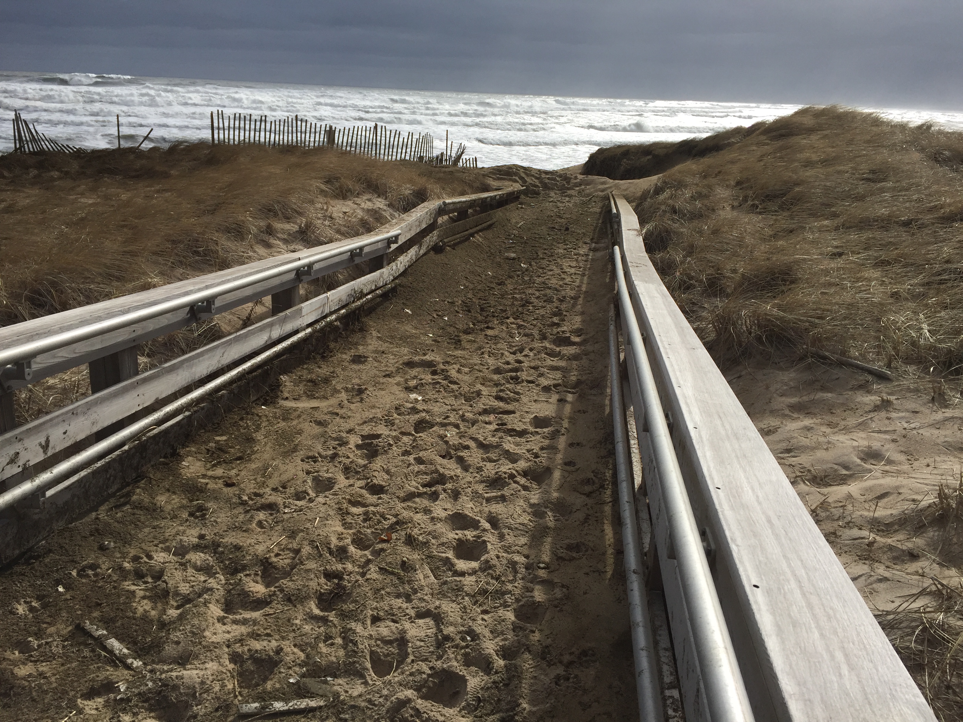
Beach
Foot/Cycling Paths
Natural Resources
Specific Impacts:
- Damaged sand fencing
- Eroded beach
- Eroded dune
- Eroded bank/bluff
- Overwashed beach/dune
Comments: Most of the dunes in this area did not appear to have major impacts. More erosion was observed along the southern portion of the Reservation shoreline. No observations were made along the river.
Current Response
Response:
- None
Tidal Overview
![]() 3 hours 59 minutes before high tide
3 hours 59 minutes before high tide
Data from Plum Island, Merrimack River Entrance (0.7 miles away)
High Tide (Predicted): 1:06 pm, 9.2' MLLW
■ Observed
■ Predicted water level
⬤ Report time
Weather Overview
Wind Speed: 13.9 MPH
Wind Direction: NNE (20°)
Temperature: 41℉
Rainfall (Calendar Day): 0"
Rainfall (Past 24 Hours): 0"
You must be logged in to post a comment.