Roads
Street/Road: Unspecified
Marinas and Harbors
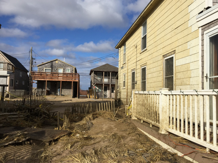
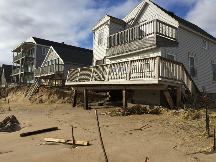
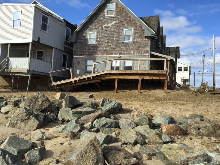
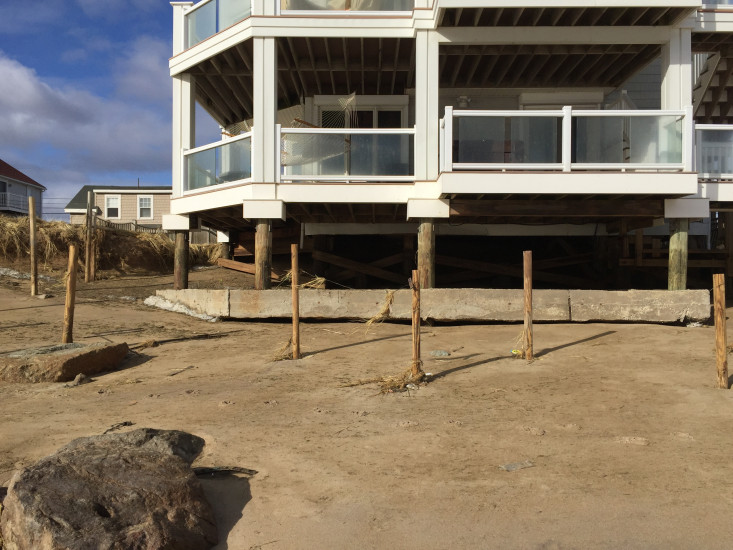
Buildings
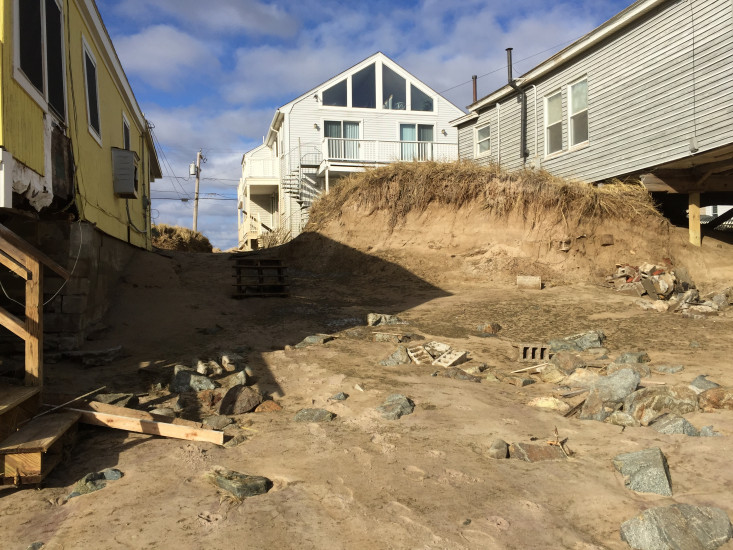
Street: 183 Atlantic Ave. and South
Specific Impacts:
- Water flow around or under buildings
- Damaged stairs/decks
- Damaged windows/sidings
- Damaged walls/roofs
- Damaged foundations/pilings
Hazardous Materials
Beach
Foot/Cycling Paths
Natural Resources
Specific Impacts:
- Damaged sand fencing
- Eroded beach
- Eroded dune
- Overwashed beach/dune
Comments: Resident stated that the dunes that have formed during the past 10 years were destroyed in 2 hours.
Current Response
Response:
- None
You must be logged in to post a comment.
"Houses with damage."